
| Galeries: index/OutdoorsIndex/Noatak |
(Click on thumbnail for larger image)
This is the gallery of photos from a canoe trip down the Noatak river in Alaska, done in July and August of 1996. I have also put my journel from the trip on line, with photos, and made it available at:
Noatak Trip Journel
I think that including the narative makes it more interesting than just looking at these pictures.
|
We flew in from Bettles to the head waters of the Noatak river, near Gull Pass. From there we paddled to Noatak village where we flew out to Kotzebue. |
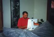 |
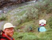
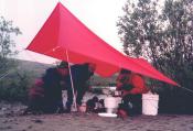
I sew us a bug tent. | 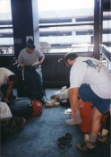 |
Turned out that some of our bags were over the weight limit, particularly the huge dry bages filled with food. So, at the air port we had to scramble to repack things. Richards going to wear his boots on the plane and Pete is sorting through the food. |
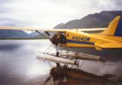 |
The plane that brought us in is ready to leave. | 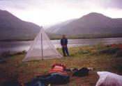 |
First thing we do is set up the bug tent. This is where we ate most of our meals in here unless it was too windy/cold/rainy for mosquitos. |
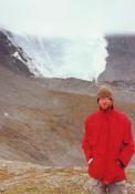 |
We took a day hike and Andrew and I reached a high point on the ridge to Oyakek Mtn, where we saw this glacial remnant. | 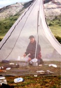 |
Pete cooking in the bug tent. |
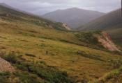 |
First day of hiking was all side hilling on this slope, in the rain. | 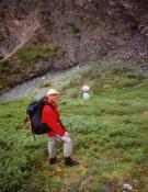 |
We didn't make it as far as intended and camped at this small gravel bar, deep in the valley. |
 |
Richard and I are seen in camp. | 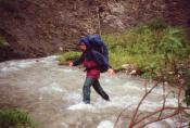 |
Pete crossing the river on our way out. |
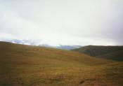 |
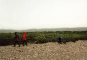
We took the high route home. |
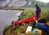 |
Andrew and Pete putting their canoe into the river. | 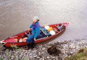 |
Richard finishes loading our canoe. |
 |
Myself and Richard in our canoe. | 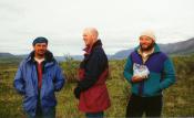 |
Myself, Pete, and Richard with his large bag of nuts. |
 |
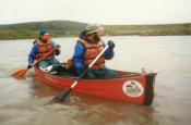
Andrew in the bow position. | 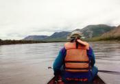 |
Richard in the bow position of our canoe. |
 |
Andrew writing something during a lunch break. | 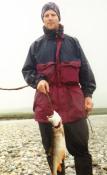 |
Pete caught a fish. |
 |
On a late day we stopped to cook dinner at 9pm, then paddled till 11pm. | 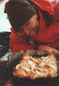 |
Andrew admires the fish, ready to cook. |
 |
We scurry around packing camp. | 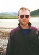 |
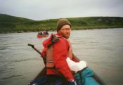
Portrait of Andrew near beginning of trip. |
 |
Nice lighting at Midnight. The weather cleared, briefly. | 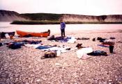 |
Drying out gear after rolling the canoes. |
 |
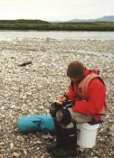
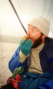
Andrew double bagged for protection. | 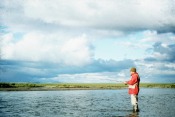 |
Andrew fishing at Cutler River. |
 |
By this time, food was much relished. | 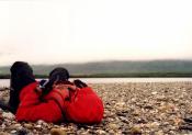 |
Early on, our endurance was low. When we got tired of being in the canoe we would get out and rest on a gravel bar. When we got cold on the gravel bar we'd get back in the canoe. Latter on, our endurance was high. When we got tired of being in the canoe we would get out and rest on a gravel bar. When we got cold on the the gravel bar we'd get back in the canoe. |
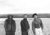 |
Crew of three. | 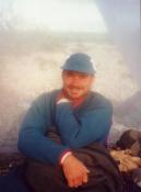 |
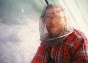
Myself, in the bug tent. |
By now we have figured out that the best place to camp is at the confluence of a tributary river. The Noatak, in flood, carries a lot of silt, but the tributaries flow clear and beautiful from remote mountain ranges that beckon us to return some day. After a couple particularly hard days we come to the exceptionally beautiful Kugururok river and camp there. Here there is enough clear flowing water that we are able to catch several large fish and have such a meal. Life is so great here that we elect to spend an extra day.
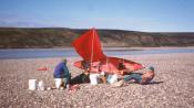 |
Richard and I at the kitchen. | 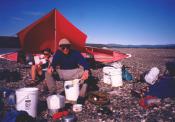 |
Andrew cooking pizza. |
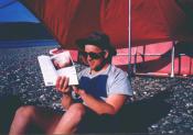 |
Pete reading. | 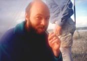 |
Richard in the bug tent. |
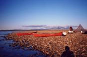 |
Our last camp. | 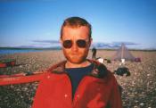 |
Andrew at our last camp. |
Back to Gallery Index
Images © 2010 Tom Unger
[Back] [Home] [Trip Journals] [Climbing] [Kayaking] [Flight] [Photos] [Food]
Page last modified: Sep 05 19:07 2010 by Tom Unger