|
|
|
|
Travel to the trailhead
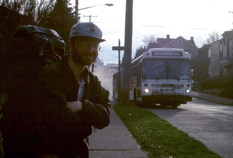
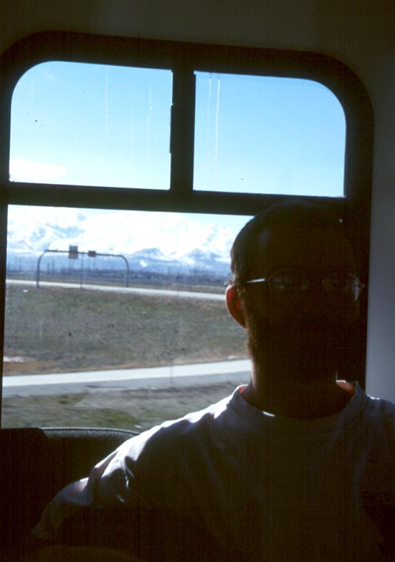
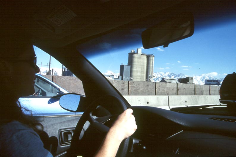
At dawn, Andrew and I meet in the courtyard of our appartment building and walk down to the bus stop. We ride down to the airport were we meet with Marie who shuttled up from Olympia. The flight goes smoothly and before long we are driving south from Salt Lake City.
|
|
|
|
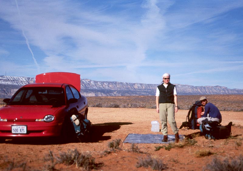
We drive down Hole In The Rock road to Dance Hall Rock. I want to sleep on the dance hall floor, but in the dark I'm unable to figure out where it is. We sleep out in the open, and I'm cold in my old sleeping bag.
Descend Crack In The Wall to the Escalante. Pass Steven's Arch. Hike up Steven's canyon
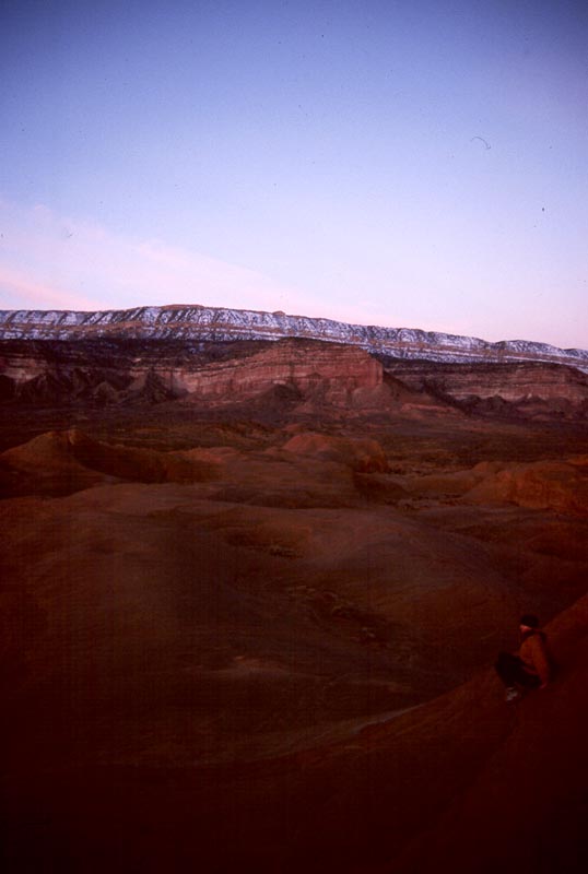
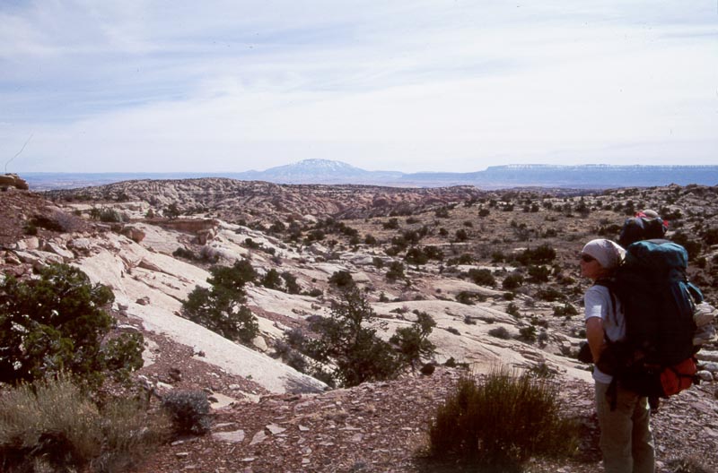
At dawn Marie and I hike up to the top of Dance Hall Rock and overlook the strange new land we have come to.
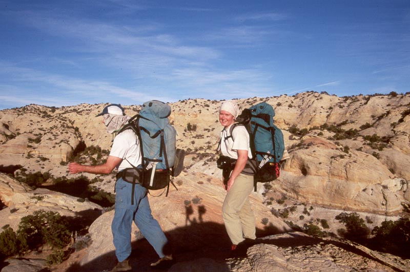
We load back into the car and drive to the trail head. The last 2 miles of the road are soft sand, a fact that will latter weigh heavy on our minds as we race a storm to the trailhead.
|
|
|
|
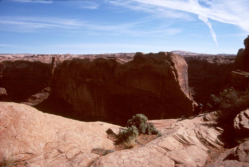
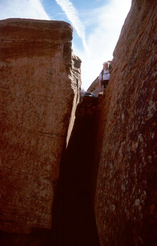
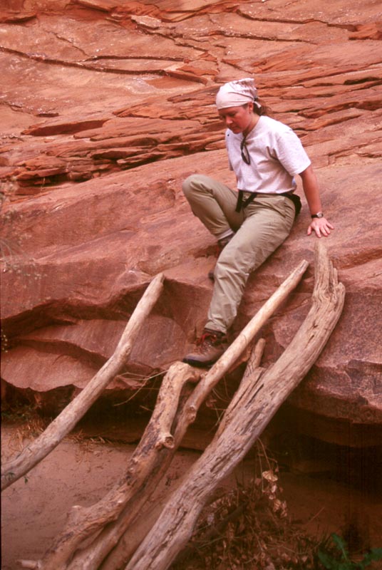
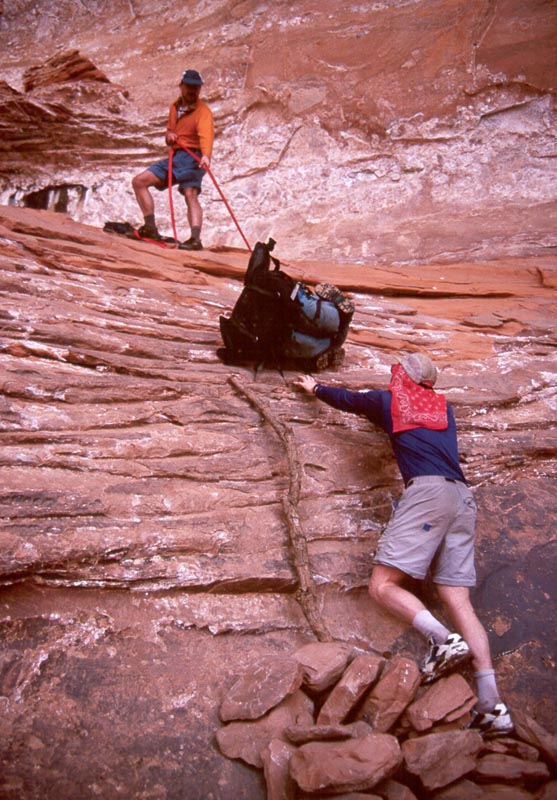
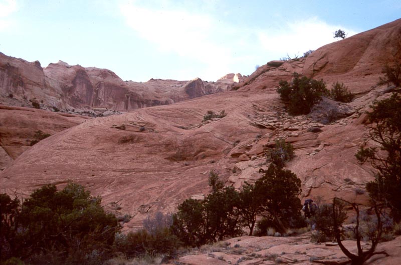
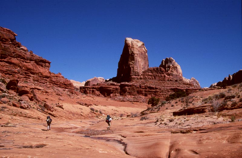
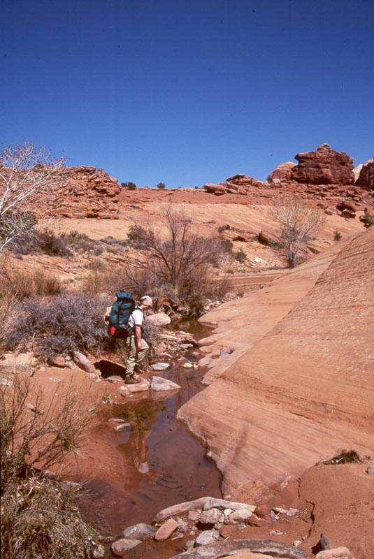
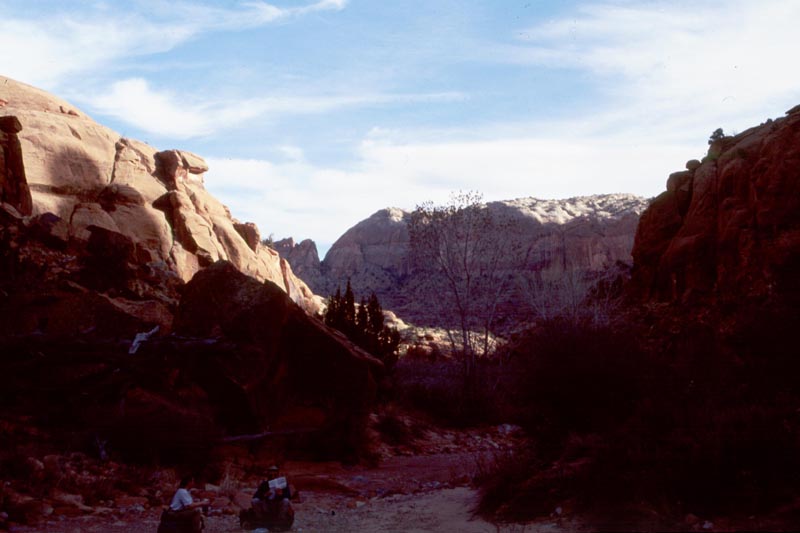
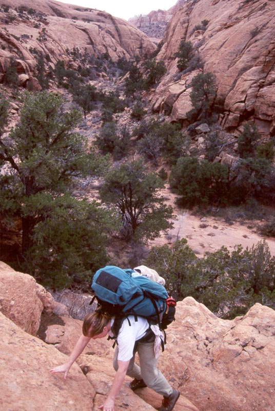
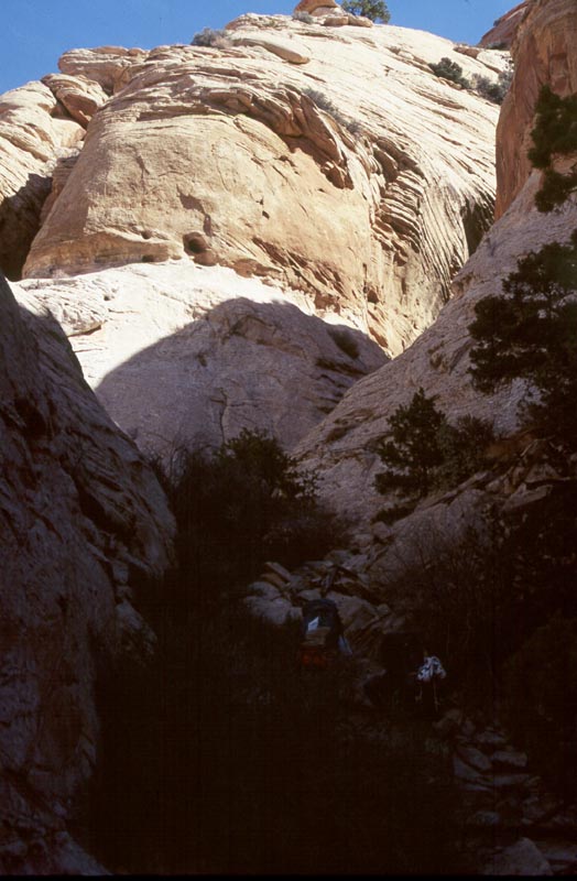
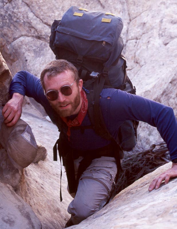
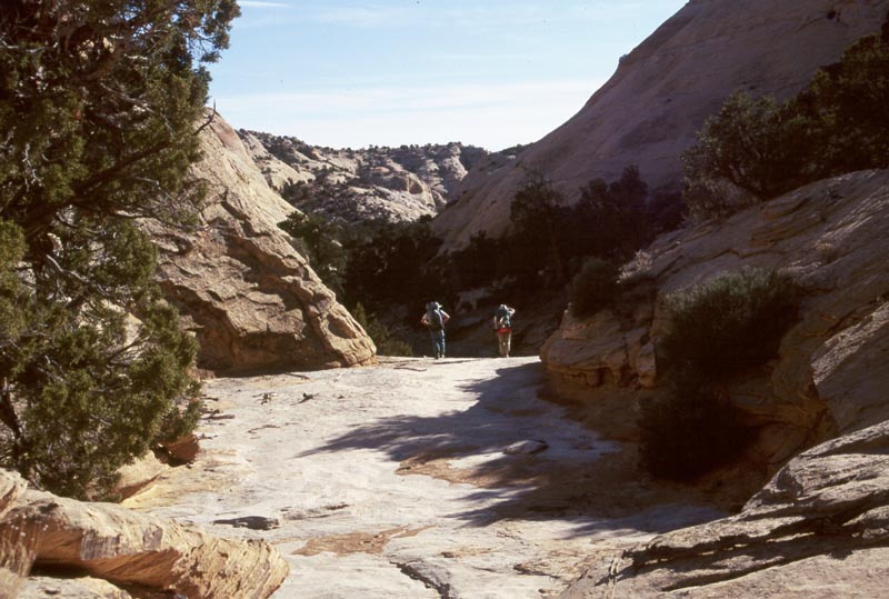
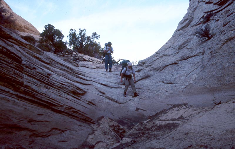
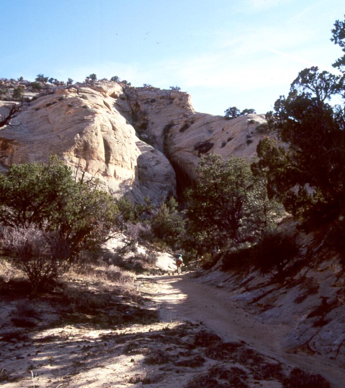
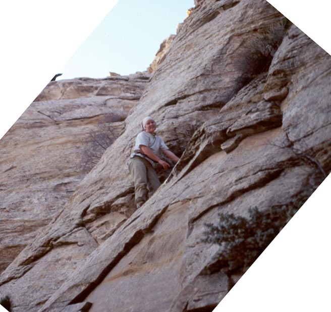
We hike a short ways across the flat desert then come to the edge of the Escalante canyon. Crack in the Wall is a short crack which is easy to scramble down. We lower packs around the crack and the slabs below.
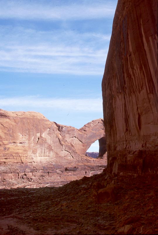
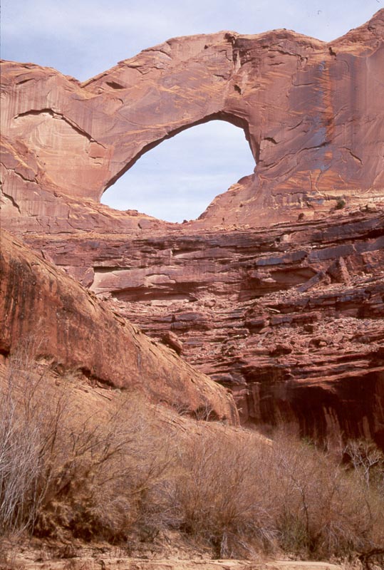
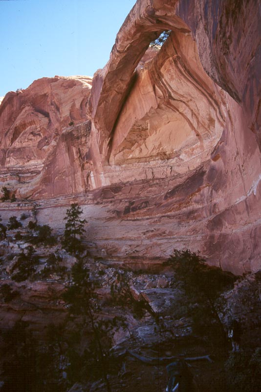
As we descend toward the river views of Steven's arch open up. This arch is impressive for it's size and elevation. It feels like it belongs more in a fantastical movie backdrop than the scenery of a hike.
|
|
|
|
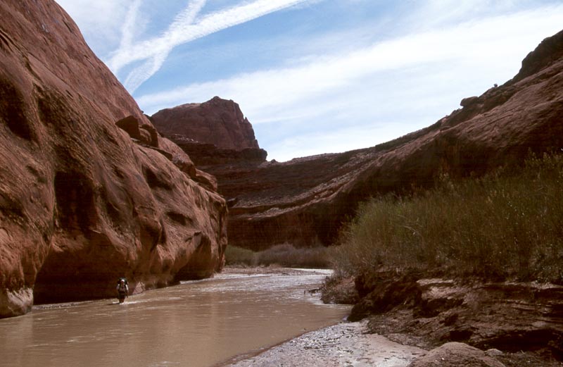
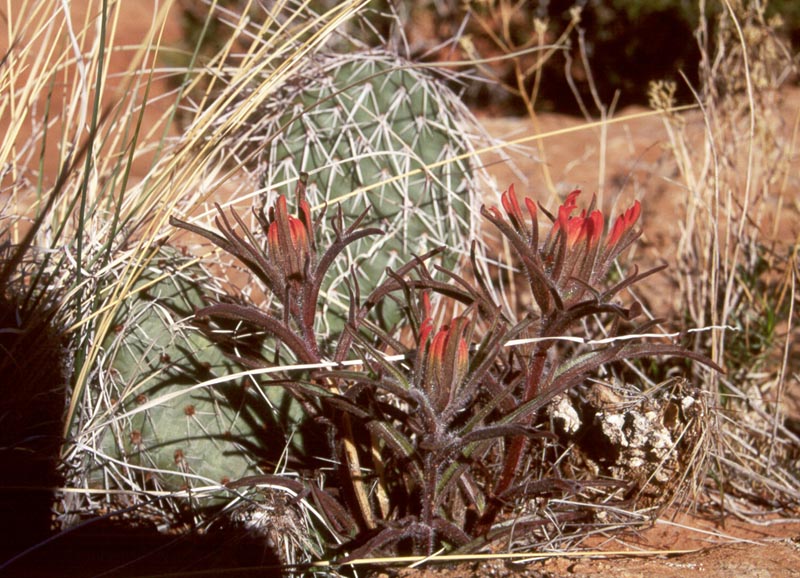
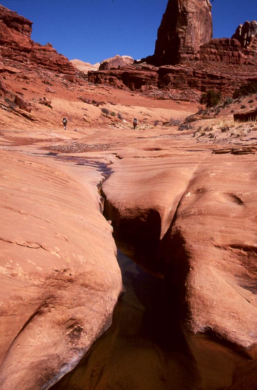
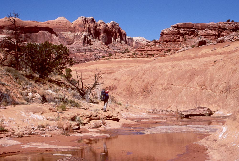
We drop into Coyote Gulch just above it's confluence with the Escalante. Before opening into the Escalante Coyote Gulch flows past some steep cliffs. The clear water, the tall cliffs, the dry air of the desert, the soft light reflected from the sandstone walls - this is beautiful.
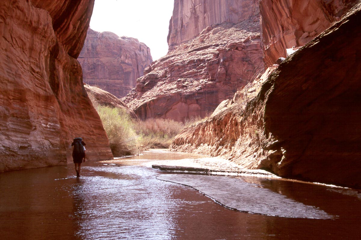
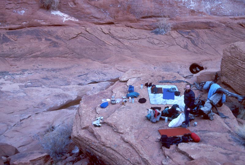
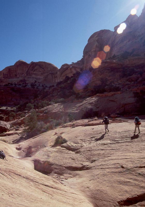
We hike up the Escalante for 15 minutes, crossing a couple times, then turn off into Steven's canyon. We spend the afternoon hiking up Steven's till we come to a impassible grotto. Camp is a large, flat rock 100 yards back down canyon.
|
|
|
|
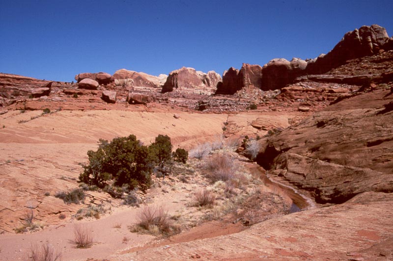
Up Steven's canyon, passing beautiful pools in slick rock canyons, exit, and camp on a high bench.
From our camp we exit the inner gorge on ramps to the right then continue up canyon on a bench. At one point we round a corner to see where a large earth slide has sent rubble over the bench. From the distance the rubble seems steep and trecherous but when we get there it is easy going on a game trail. On the far side of this a slide allows access back down to the inner gorge, and we explore for a while.
|
|
|
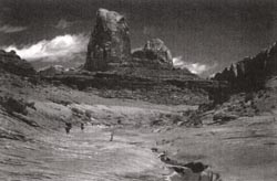
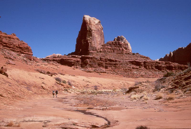
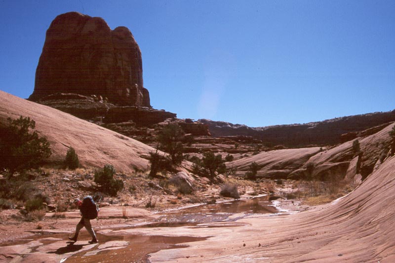
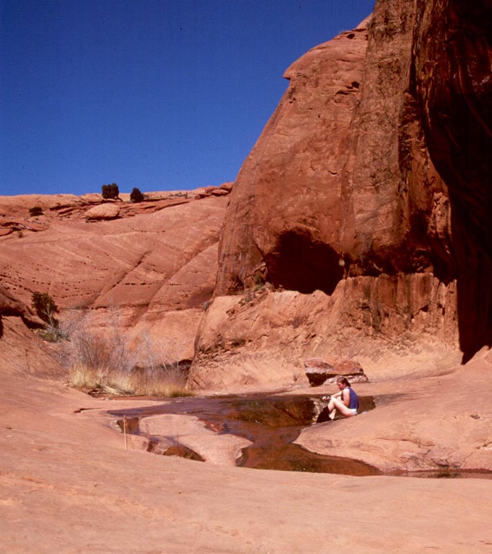
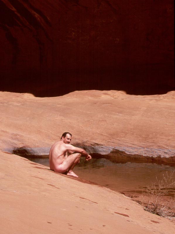
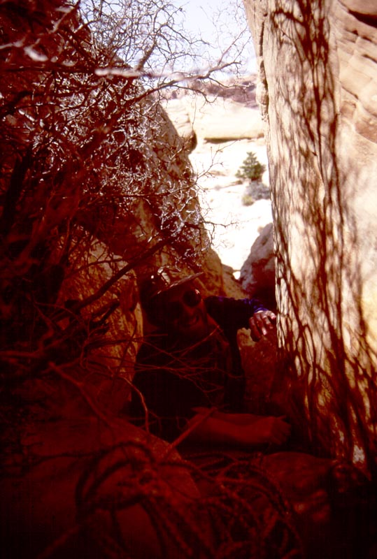
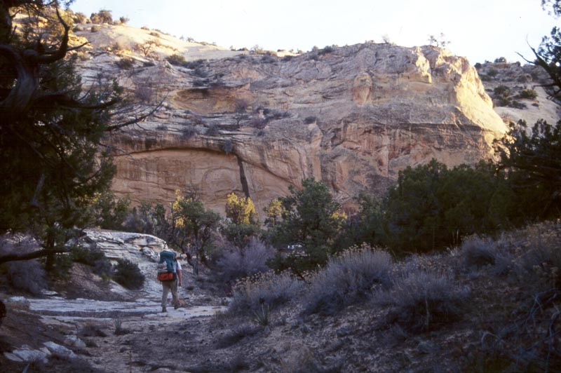
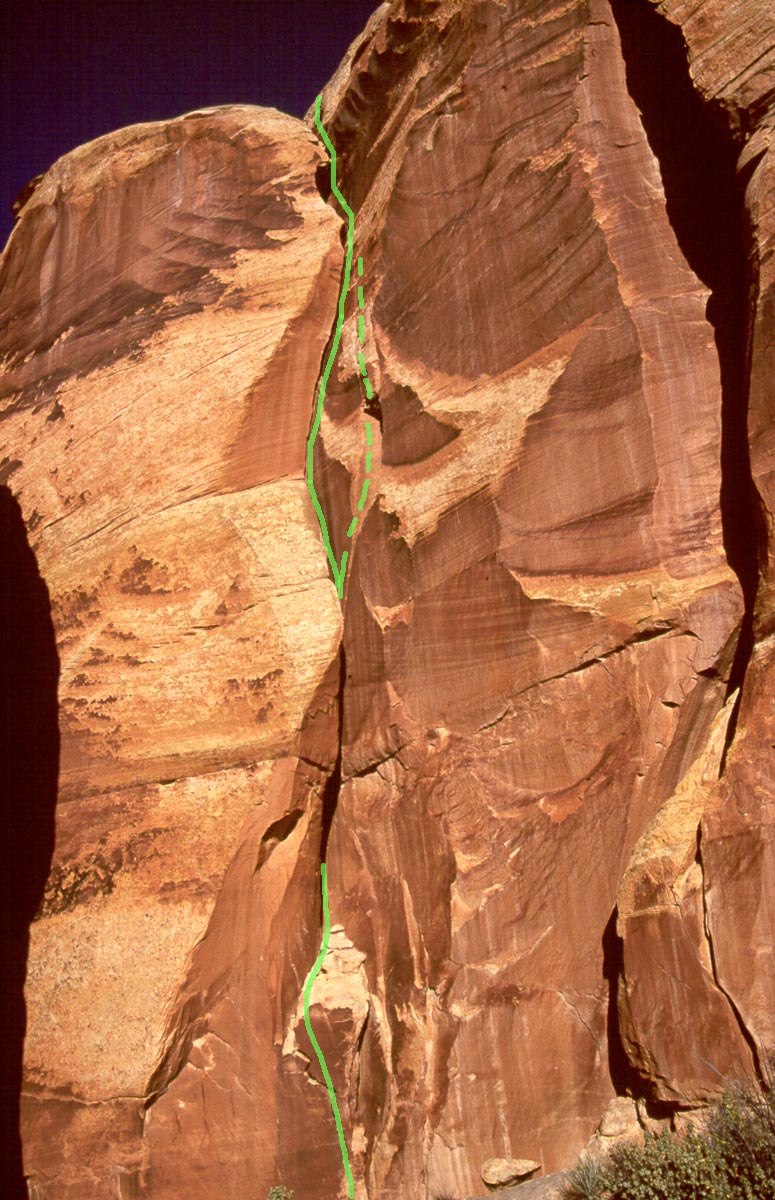
Then inner gorge ends in a pouroff and we drop down into the floor an open canyon. When I first got Steve Allen's guide book, one picture in particular struck me. We have arrived in the same part of the canyon and I try to duplicate the shot:
|
|
|
From there we wonder up canyon, passing some beautiful pools along the way.
|
|
|
|
|
|
|
|
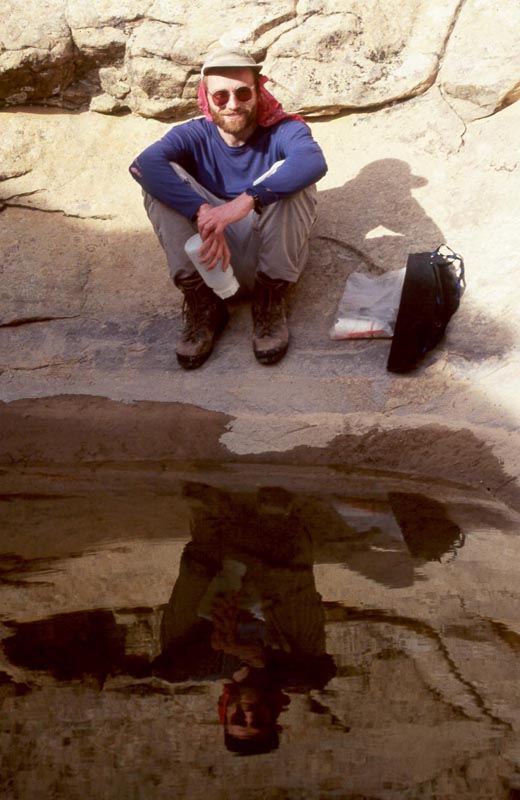
Above that we hike a ways further and come to a larger pool. Here we take a break in the shade, fill water, and swim a bit.
|
|
|
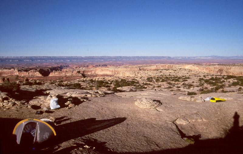
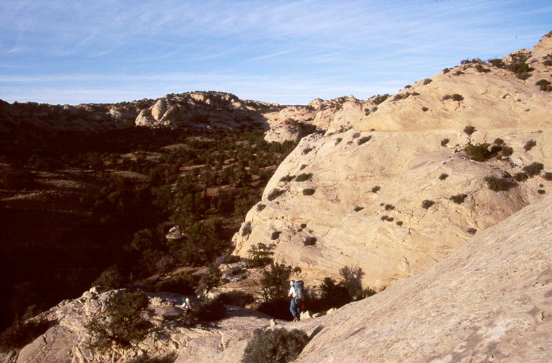
Above the pool we have a long up canyon trudge. Late in the afternoon we come to our exit point and climb up slabs to the right. This leads us to a high bench where we camp on slickrock with beautiful views west over wild canyons near the Escalante.
|
|
|
We climb a difficult chimbney, cross confused domes, then hike to the top of the waterpocket fold.
After a leasurly morning we continue following the route:
|
|
|
|
|
|
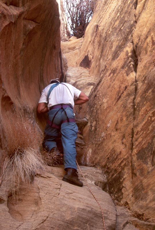
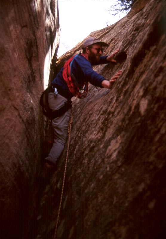
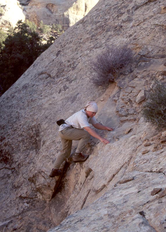
After a very short ways, the side canyon ends. Andrew and I flip a carrabeaner and I get the first lead. It feels significantly harder than the low 5th class it is supposed to be. Perhaps this is because there's no protection, we are very isolated here, or the author is several inches taller than I am. Marie and Andrew follow me and we crowed into tight little slot while Andrew prepairs to lead the second pitch. This is a much more straight forward chimney, however all of our packs receive significant damage while hauling them up.
|
|
|
|
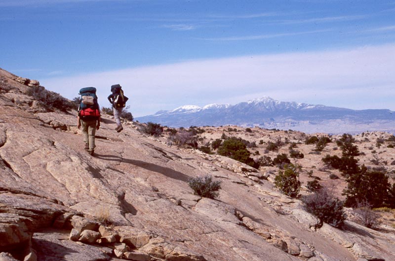
Above, we first enocounter significant difficulties negotiating out of some domes, but are soon on the high bench of the water pocket fold and the views open up as we head for the high point.
|
|
|
|
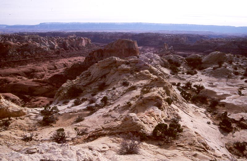
By mid day we are at "Cliff", named after the word written on the USGS benchmark placed on this here. It is the highest point on the Water Pocket Fold and we have 360 degree vistas.
|
Looking west in to uppper Steven's Canyon. Across Steven's, in the upper right third of the picture you can see a pass. In the 2001 trip we will walk through this pass into Fold Canyon. |
|
Also looking west, the pass to Fold is toward the left. |
Hike down to Georgas Camp Canyon.
After a morning relaxing at the "Cliff" camp we continue north along the Water Pocket Fold. At first the walking is through sparse trees. Soon we enter a draw on the left, follow it down as it becomes a canyon. We come to an impassible pour off and, following directions, back track then climb on to the ridge north of our canyon and descend into the next.
|
|
Hiking down the canyon. |
|
|
Crossing the ridge |
|
|
| We continue down the next canyon and soon come to another poor off. However, this one has a climbable crack on the right. |
|
It is now evening and the light on the white walls and domes lining the canyon is just spectacular. A ways further we arrive at another pour over. From here we climb up a sandhill to a small pass into Georga's Camp canyon. It is now twilight and we have spectacular views north and west over Moody Canyons and the Escalante.
|
|
|
Layover day. We explore the area.
 |
It turns out to be a good thing that I found the route into the lower canyon. We empty
the water hole on the last morning and then I climb down into the lower canyon to get another couple gallons of
water.
[Back] [Home] [Trip Journals] [Climbing] [Kayaking] [Flight] [Photos] [Food]
Page last modified: Oct 07 22:54 2025 by Tom Unger