[Part 2]
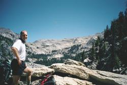
Travel Seattle-Sequoia park.
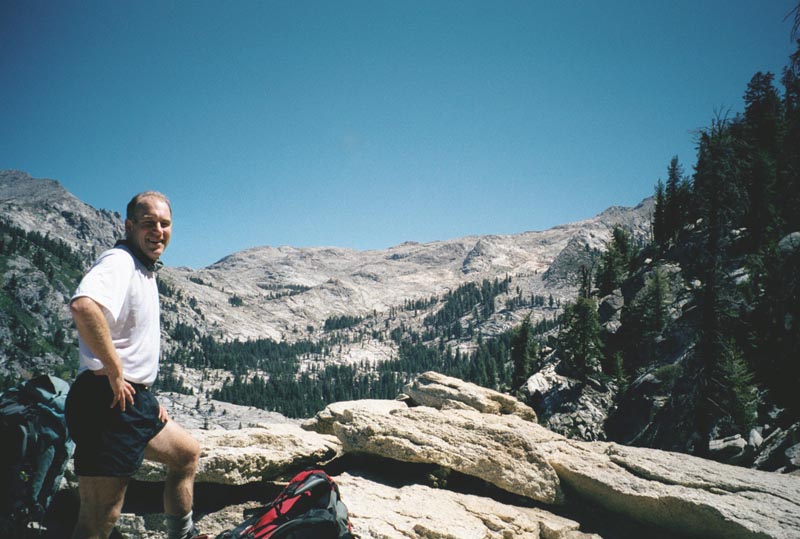
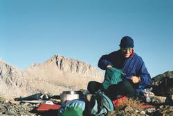
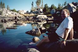
Everything went as smoothly as I could hope. Great meal at a Mexican place in Los Banyos.
The NPS reservation system told me that all camping in the park was full. We went into
the park, none-the-less. There we find the camping has plenty of free spaces.
A very nice ranger gave us our wilderness permit. She seemed interested in our route, so
I gave her my web site address.
Paul & I had an excellent meal at the Wuksachi lodge. The caramel apple pie is to die
for.
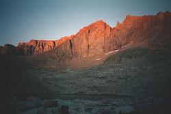
Gain 4,140 ft, loss 820 ft. . Weather: clear and warm
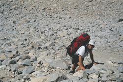
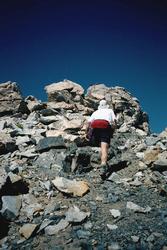
10:30 am start. Hike Pear lake trail to Pear lake. From the lake, ascend slopes
to the NE, crossing a ridge. Work up hill in a generally ENE direction to cross a ridge at 10,900 ft. above Moose
lake. Walk this to its N end then drop 100 ft and walk a ridge crest. We camp near small lake on ridge at 10,780
ft.
|
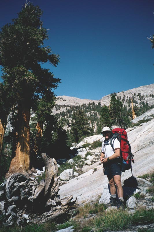
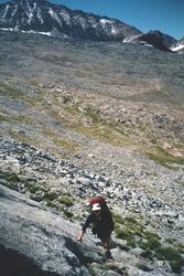
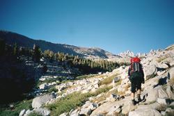
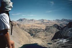
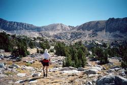
Our hike starts from the Wolverton parking lot. The first couple hours we are on trail
as we move from forest to the Sierra high country.
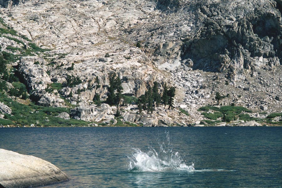
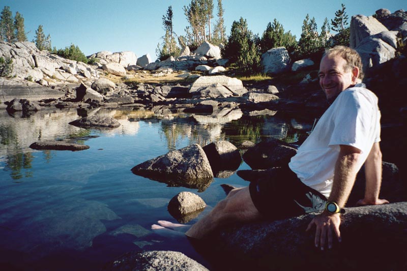
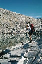
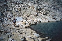
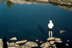
At Pear lake we take a long break. We try swimming, but find it too cold to fully enjoy.
I am concerned that I didn't bring enough for lunches. I eat a cliff bar on the way in,
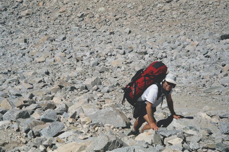
then have a satisfying lunch. I run into trouble in the afternoon, as we grind our way up to the ridge. I eat a
Gu packet, and that keeps me going for 40 minutes. After it wears off I have little to sustain me. At a break I
look over my meager bags of gorp, and eat the few mouth fills that can be considered as allocated to this day.
I arrive in camp a destroyed man. We pitch the tent. I fetch water. I collapse. Paul pulls
out copious bags of gorp, and kindly shares some with me.
Dinner is rice, chicken, peas, and plenty of it. More than I can eat.
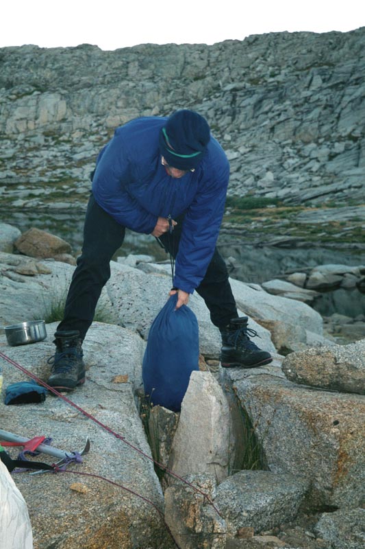
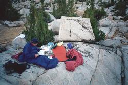
We brought a bear bag and canister, but not all our food fits into them. Our plan for protecting
the rest of the food is to place it near the tent with rocks and pots piled on top. The idea is that if a bear
tries to get the food we'll hear it in time to get up and chase the bear away. Somehow, I end up with my head by
the door with the food.
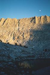
I toss and turn a lot. After moon set the stars are spectacular.
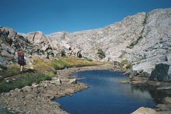
|
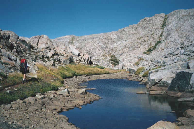
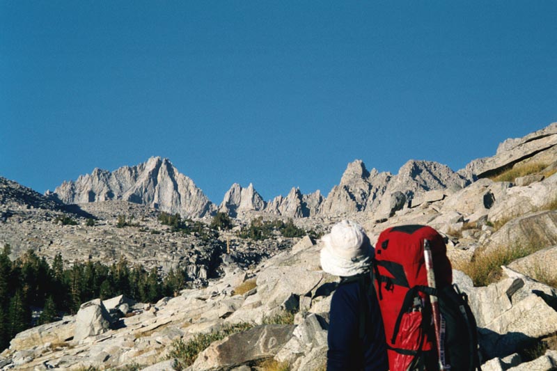
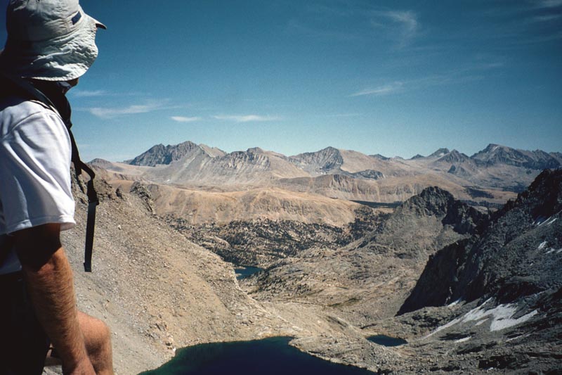
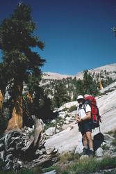
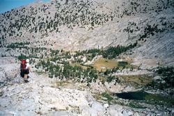
Lunch break and our first view of the high country.
|
|
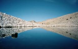
Walking past a tarn just above Pear lake.
|
|
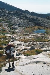
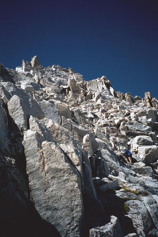
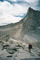
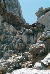
Hiking up slabs on our way to the table lands
|
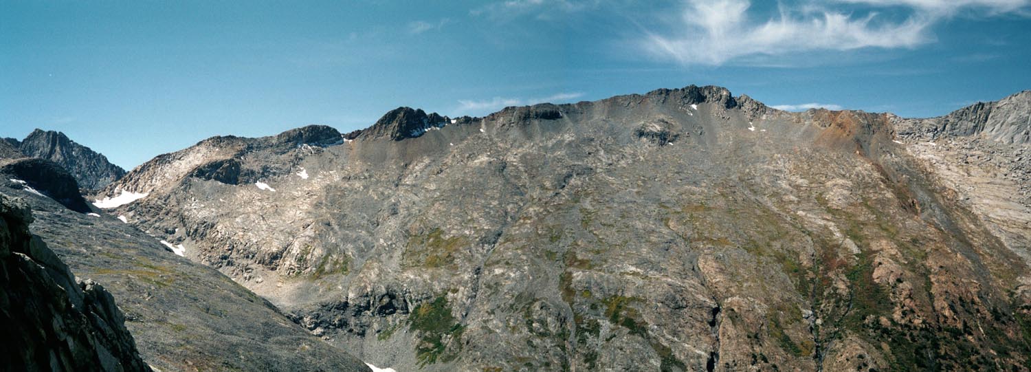
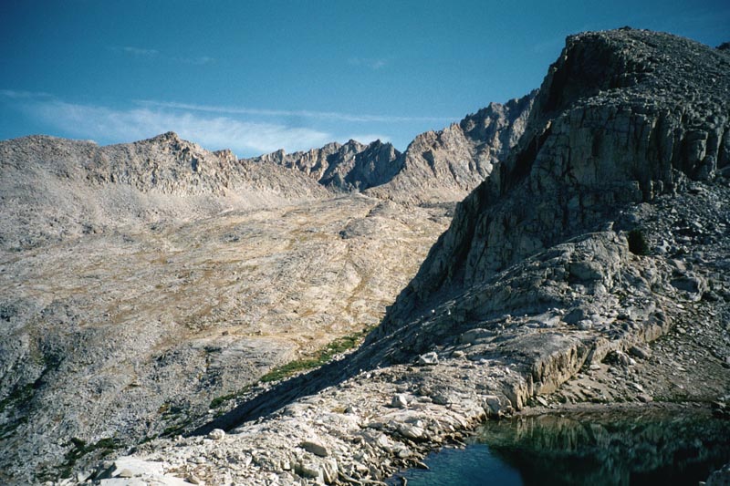
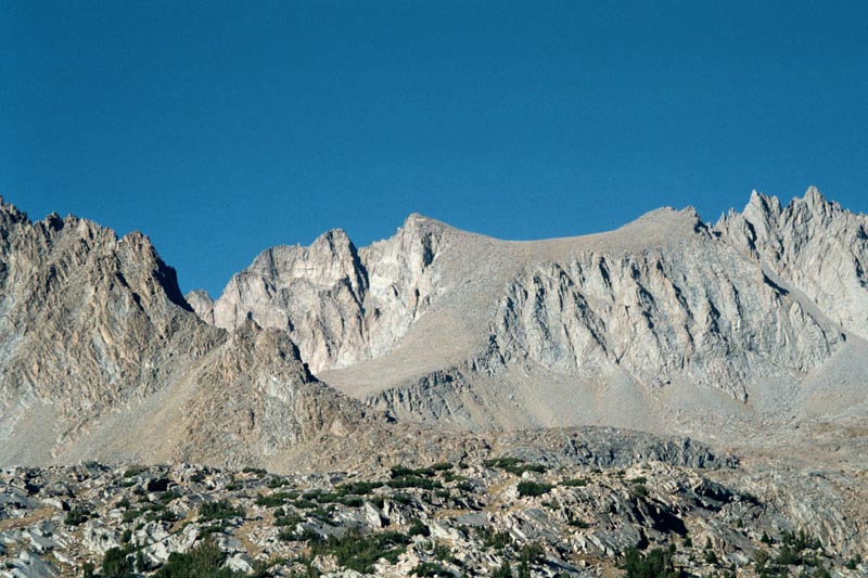
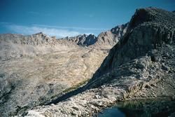
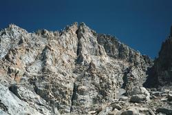
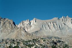
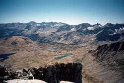
The Table Lands
|
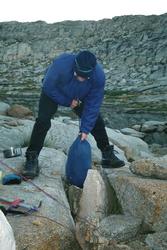
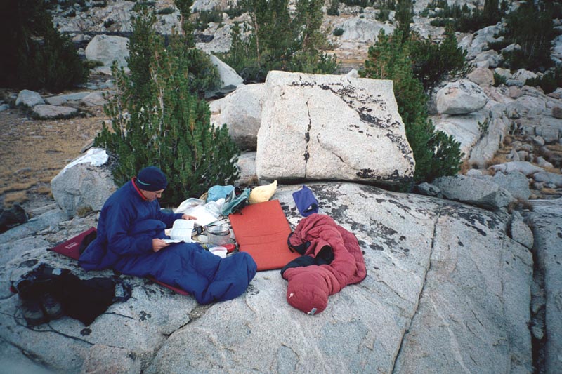
Protecting the food for the night in a rock crevas
|
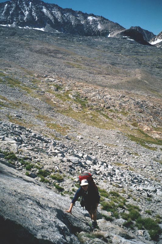
Gain 3,130 ft, loss 2,230 ft. 8 hours. Weather: Partly cloudy, windy, cold at times.
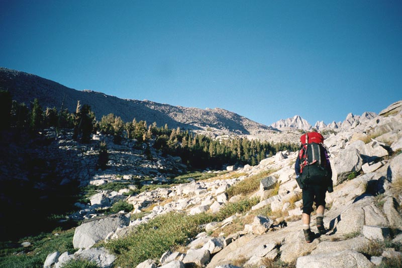
From our camp we head E and climb to the ridge above Big Bird lake. We follow
this ridge S then E, over a hump, across the saddle N of Lonely lake, then to the pass E of the lake. Contour around
the basin at the head of Deadpan Canyon to cross Copper Mine pass (11,940). Contour Cloud canyon basin to Lion
lake pass then across tallus to Glacier lake.
|
All day I have a headache and finally take some aspirin at 3:00 pm. I arrive at camp in
much better condition. But also feel only 60% Probably effects of the altitude.
The basins have been very barren and after only two days I find I am looking forward to
lower camps with more trees.
|
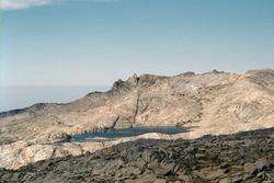
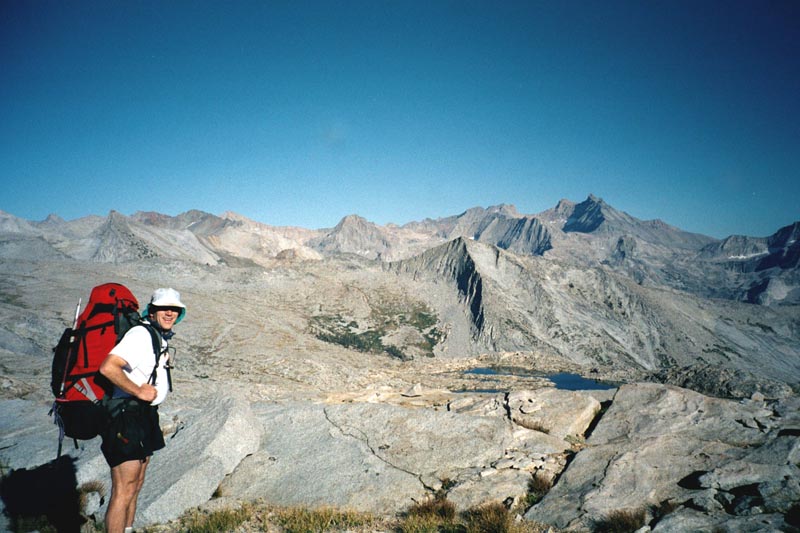
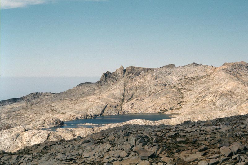
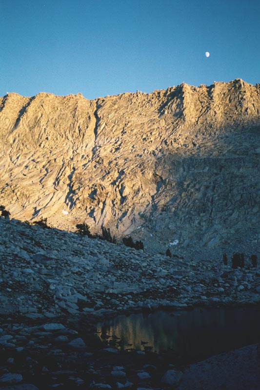
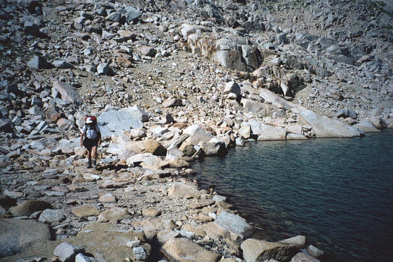
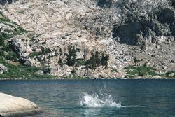
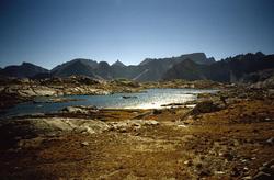
Moose Lake, in the Tablelands.
|
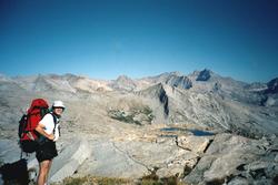
|

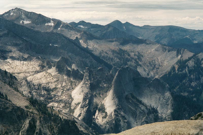
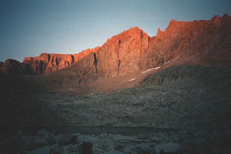
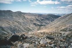
Some intricate country, which we will pass
near at the end of our trip.
|
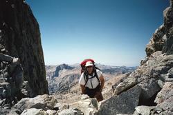
Paul approaching the pass above Lonely Lake.
|
Tom resting. Below is Cloud Canyon.
|

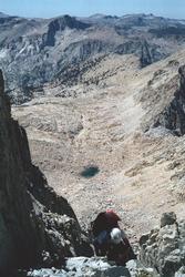
This is the basin at the head of Cloud Canyon. Coper Mine pass is on ther right and
Lyon Lake pass on the left. Glacier lake, where we camped, is just left of the picture.
When I planned this trip I was just looking at some interesting high country on a map. While we were getting
our permit a ranger told is that it is easier to travel through here in the winter. Turns out that we are on one
of the classic trans-sierra ski tours. The first pass, above Lonely lake, is spectacular sculpted grannet. The
second, north of Copper Mine Peak is loose copper colored rubble. It is also know as Deadmans Pass because it often
has difficult cornices in the winter.
|
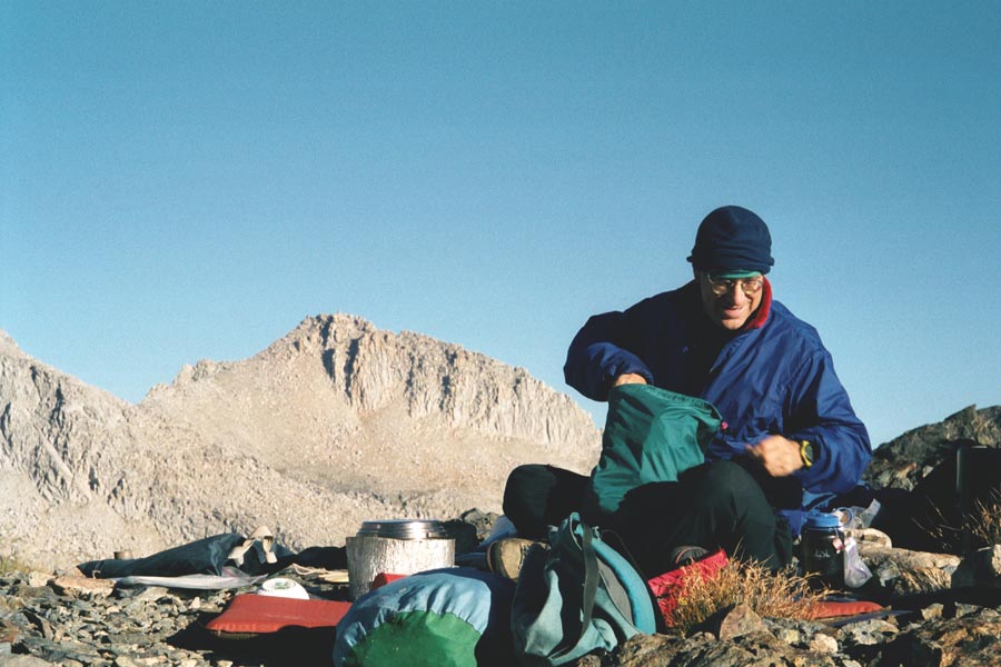
Paul cooking breakfast at Glacie Lake.
|
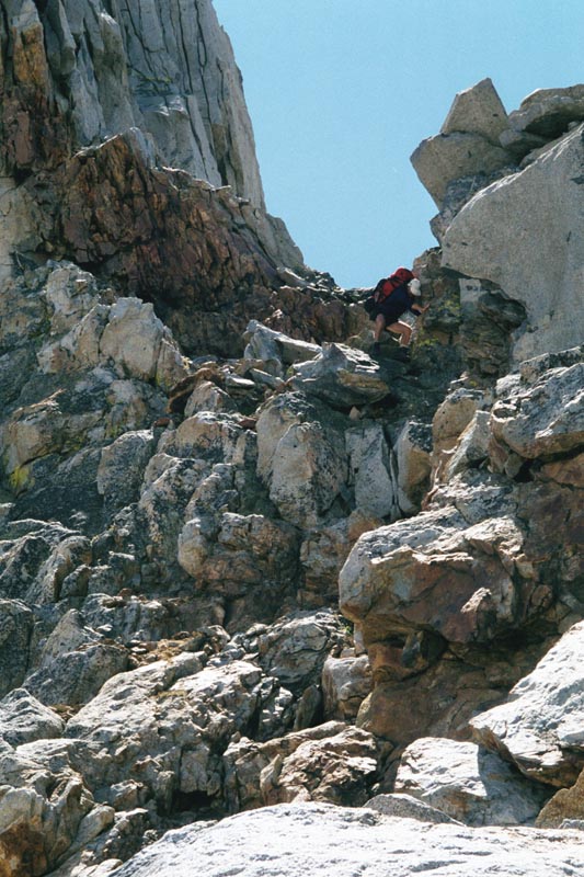
Gain 1910 ft, loss 2030 ft. 9.5 hours. Weather: Sunny and mild.
From Glacier lake, we make a descending traverse to the southern notch on the
Whalesback ridge (just N of prominent tower). Climb to notch, 60 ft. class 4. Descend basin to ~10,500 ft. then
traverse NE to pick up Colby lake trail. From trail at 10,600 ft. head N on a slowly rising traverse to enter Tallus
creek.
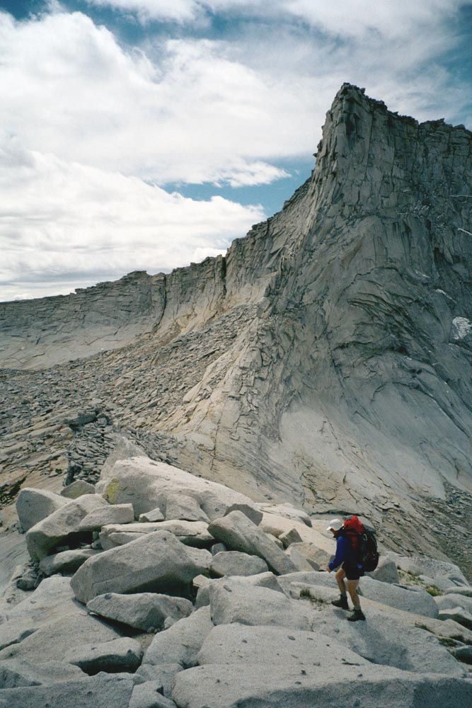
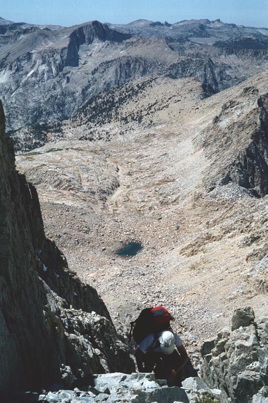
The climb to the notch is steeper than I think. I climb up with the rope, then check the
descent before committing Paul and our packs. For the time it takes us to haul packs we probably could have crossed
the lower saddle. But as we descend I see that the descent from the lower saddle is no treat.
|
Ramp up to notch in Whalesback
|
Climbing down the east side of Whalesback
|
Creen in basin east of Whalesback
|
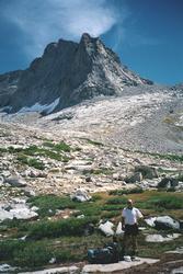
We rest and swim in the creek before moving on to Colby lake. Here we pass the first trees
we have seen for a while.
|
Trees again.
|
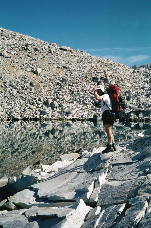
Paul in Colby lake. My camera is a little slow.
|

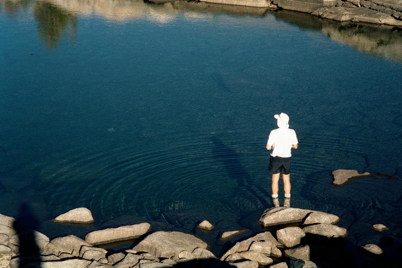
Short swim.
|
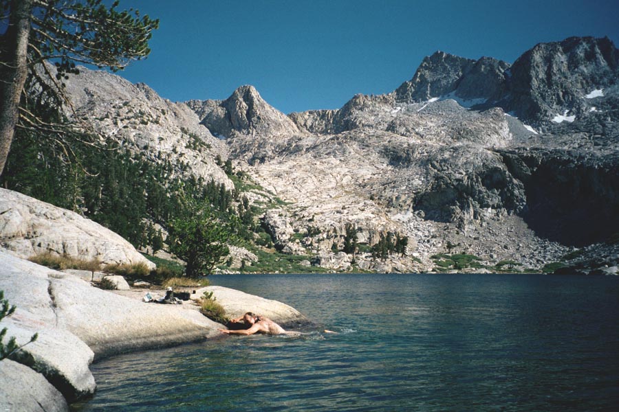
Colby lake is beautiful. The turquoise water tempts us in for our second swim of the day.
We take a long break on a beautiful rock bench and Paul cooks dinner.
At 6 pm we start walking. First through trees, then we break out into the meadows of Tallus
creek. The sun is low behind us and the light gorgeous. We hike through meadows, passing open forest to our left.
The beauty of this valley in evening light brings tears to my eyes.
|
Coming into Tallus creek with beautiful evening light.
|
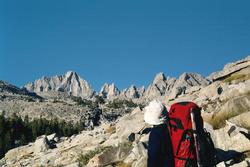
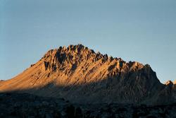
When I first saw these peaks in the distance they seemed impossibly far away and high. Now they are getting very
close. The peak on the left is Thunder Mountain.
|
|
|
|
Gain 2,780 ft, loss 1900 ft. 8 hours. Camp at 11,450 ft. Weather: Sunny and warm.
Cross Tallus pass and descend into Table creek. Hike up stream, past lakes, toward
Thunder Mtn. Ascend long, loose gully to first col on ridge S of Thunder Mtn. Climb to summit via S ridge. From
col descend to lake and circle S side. Cross outlet (slabs) and traverse to knoll. Make a long descending traverse
of N slope of valley to round E end of ridge near 3,500 meters.
|
Paul takes a picture of Tallus lake.
|
I liked it so much that I took one too.
|
|
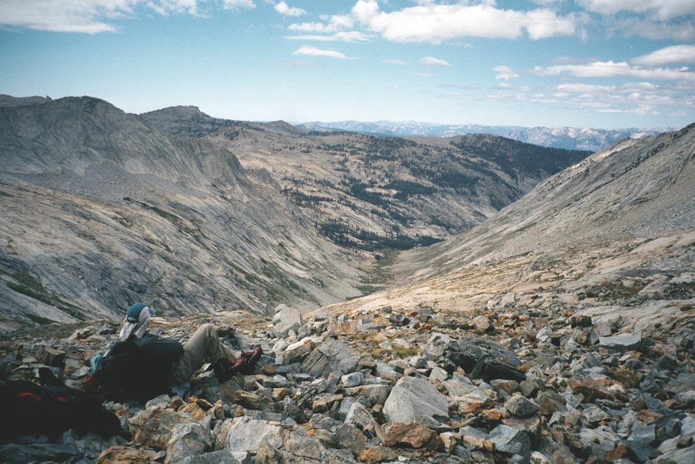
There is a beautiful little tarn right at Tallus pass (but nowhere to camp). Below is Thunder creek.
|
Looking into the middle section of Thunder Creek.
|
|
Thunder Mountain. We cross the notch to the right.
|
Looking back down onto Thunder Basin.
|
Looking up from the gully.
|
The gully up to Thunder Col is very loose. Not so much that we knock down many rocks, but that our feet slide in
the loose dirt and progress is slow and difficult. I take care on the long ascent to keep my heart rate low, ~140,
and as a result I am able to keep going comfortably and arrive at the col in good shape.
For some reason, this USGS quad shows elevations in metric. I originally thought that this col was at 12,000 ft.
On the way up, I comment to Paul that this is like doing a carry over of Glacier Pk., only harder. At the col I
discover that we have actually climbed to 13,100 ft |
|
|
Looking back down the col.
|
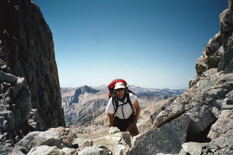
Paul reaches Thunder Col.
|
Looking east into the headwaters of the Kern river
|
The route to the summit looks unappealing - many loose blocks stacked on each other. But a short ways up I find
pleasant 3rd class scrambling near the ridge crest. There are 3 summits, the last being the true summit. But the
route between is much more exposed. I climb to the top of the first and enjoy the view.
Back at the col, anticipating a long decent, I take 2 ibuprofen. Later, I am surprised
by how good I feel, then realize that it's not me, it's the drugs.
None the less, I feel great during the decent: my legs continue to have spring and power
in them. I feel I am in the tallus zone. 3 days of walking on tallus and I am now able to move over it with out
much effort.
|
Circling a lake on our way down to camp.
|
A tarn near our camp.
|
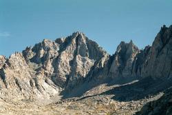
Mt Stanford, which we climb the next day.
|
|
|
Described as a very long climb with many gendarms and false summits.
|
Kitchen in Kern basin.
|
We finally round the end of the ridge and come into Kern basin proper. We stop at the first
tarn that we come across. First order of business is to soak our feet in the lake.
I sleep out under the moon and stars that night.
Gain 2,770, loss 2,770. 6 hours. Same camp. Sunny and warm.
Hike across basin to Lake South America (because of its shape). Hike to Harrison
pass. Climb Gregorie's Monument. Return to camp by more direct line.
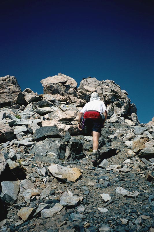
This is our rest day. We walk to the lake, we walk to the pass, we walk up the mountain,
we walk back down, and we walk back across the basin. I am beginning to feel that walking is my constant state
of being. But this is good.
|
Walking across the basin.
|
Walking up the mountain.
|

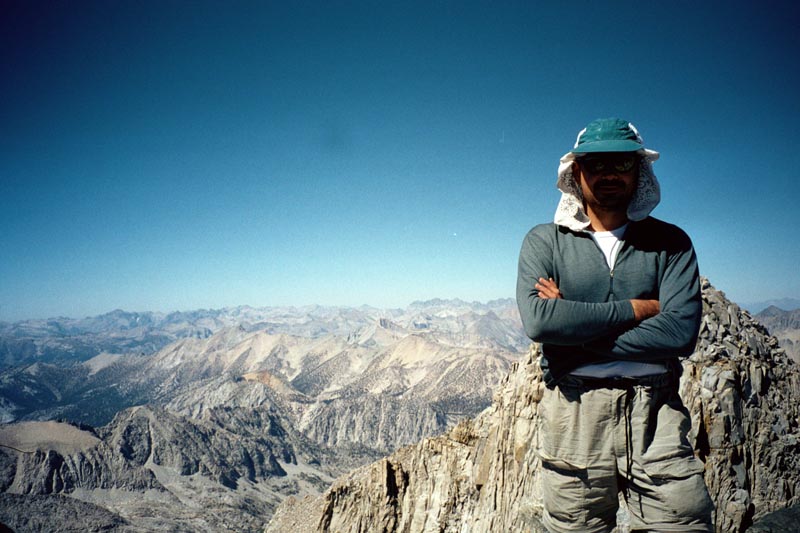
On the summit of Gregories Monumnet.
|
|
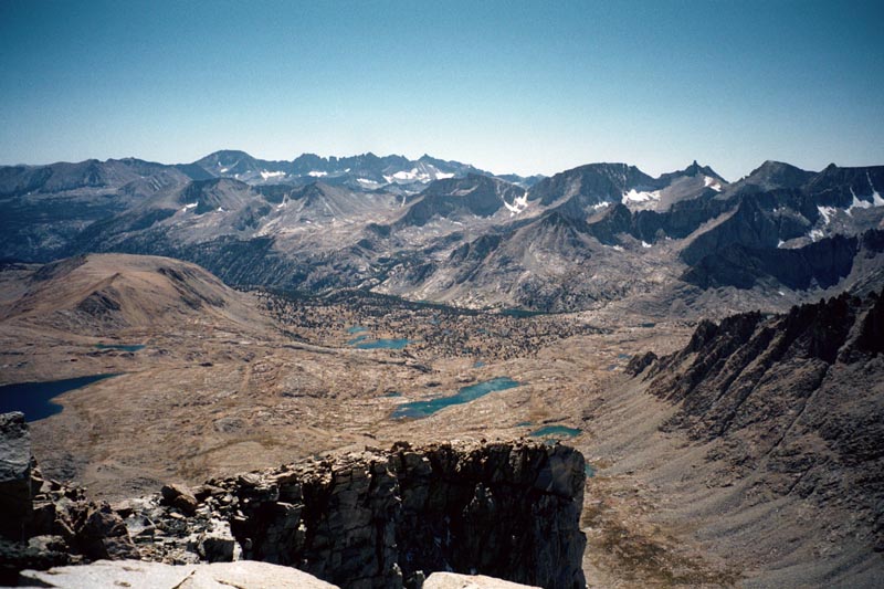
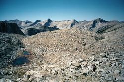
Kern headwaters. You can see the distinctive shape of most of Lake South America on the left.
|
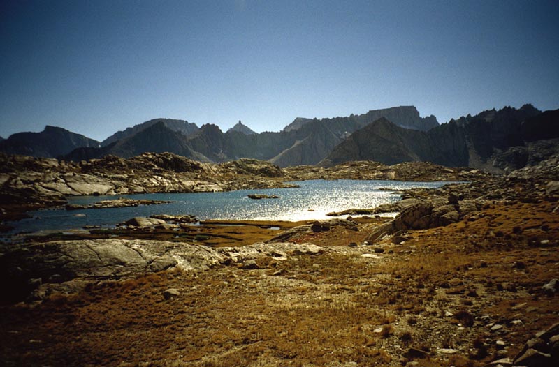
Another beautiful lake, shot through the golden lenses of my sun glasses. This is how I saw the Sierras.
|

|
Paul makes an early dinner and we sit out & watch the sun surrender the sky to the
moon.
[Part 2]
[Back] [Home]
[Trip Journals] [Climbing]
[Kayaking] [Flight] [Photos]
[Food]
Page last modified:
Feb 01 00:49 2003
by
Tom Unger