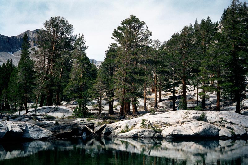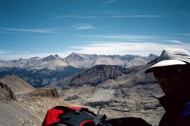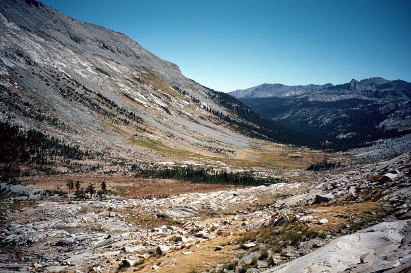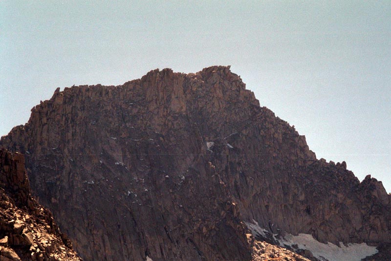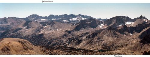
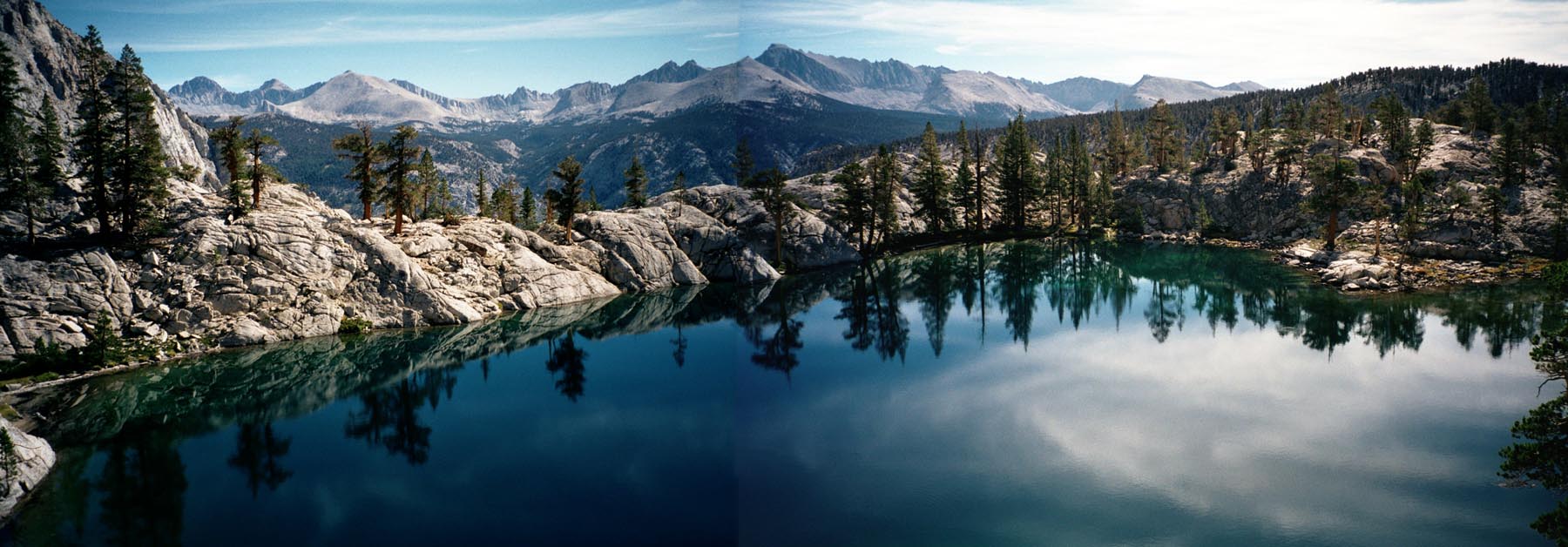
All of Kern headwaters with Kaweah mountains in the distance
Gain: 1640 ft, Loss: 3680 ft. 8 hours. Weather: clear and warm.
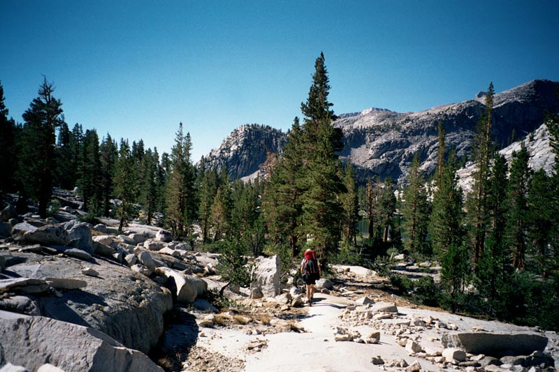
Exit basin on Kern river trail, hike to junction meadow. Take Colby pass trail to ~2,900mtr, and camp.
All of Kern headwaters with Kaweah mountains in the distance
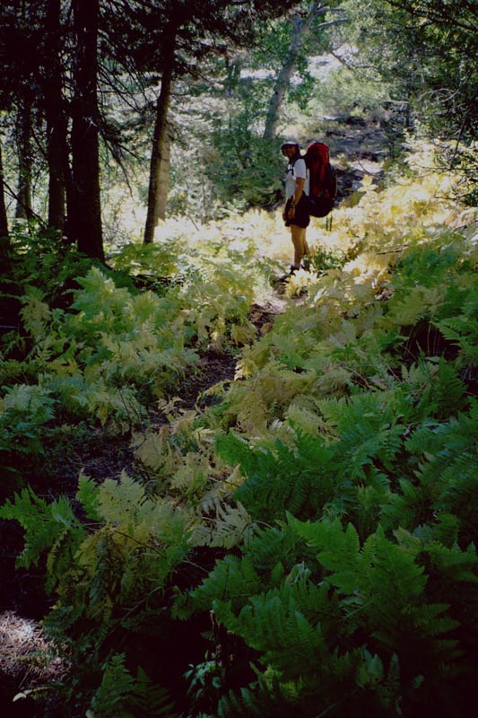
The ramble through the basin to pick up the trail is beautiful. The trail, initially, is rocky. I tell Paul that this is no better than a tallus slope. Them we get down into the forest and the going is much smoother. I manage to become completely lost in thought, rambling along on the trail when Paul asks if I would like to stop for a break.
|
|
|
|
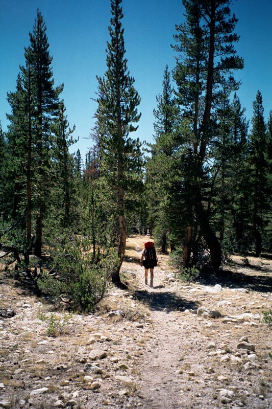
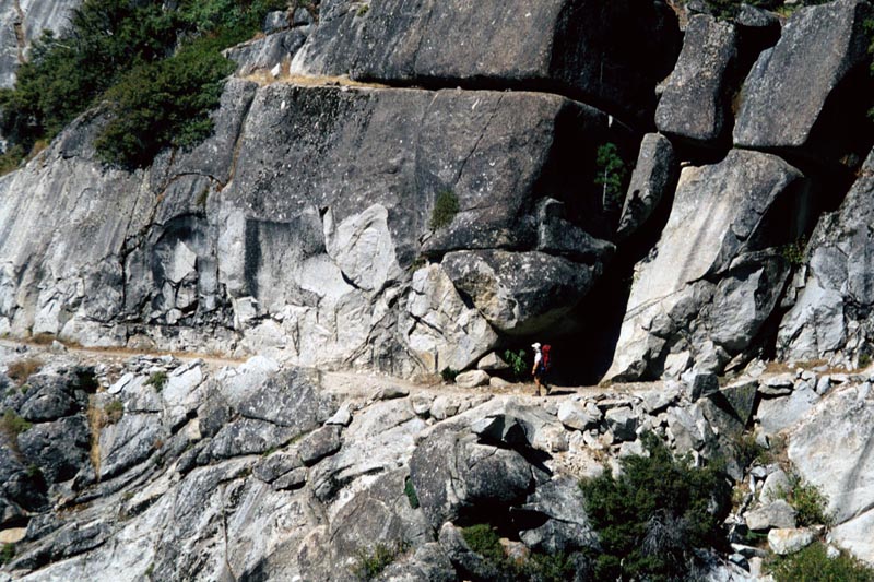
There is a lot of horse shit on the trail. The trail is also dusty. As Paul walks ahead of me he kicks up the dust with each step. I can only think f the horse shit that must be in that dust. Why is it ok for horses to shit on the trail but people have to bury it 6 in deep, 200 ft from water?
I hate doing extra walking. I notice that a little cross country travel (well, a mile) could save us a couple miles AND 600 ft of elevation loss and re-gain. But it is hard to say if the more difficult walking would really be a savings. We get to the turn off option, and decide not to. 100 yards further on we see the actual terrain we would walk through and decide it looks easy. We head back toward the turn off. Then I consider the vegetation, which looks difficult, so we turn around again and head back down the trail.
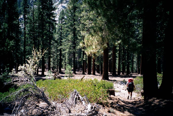
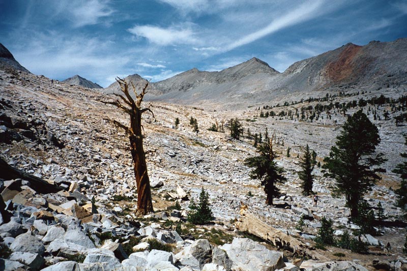
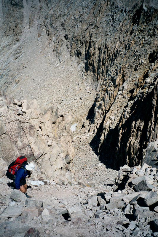
The Colby lake trail is less traveled. It ascends a gully to the right of a hump of stone. At the top of the gully, when my altimeter said we were close to our camp elevation, the trail descends. I cursed the person who located this trail. It goes down a steep set of rock steps and is actually quite fun.
|
|
|
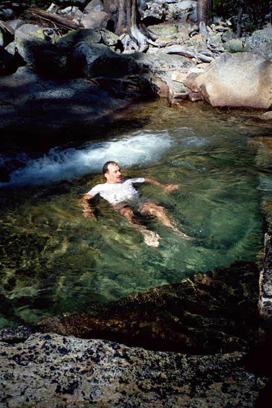
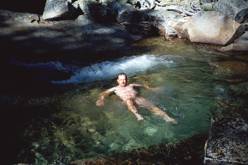
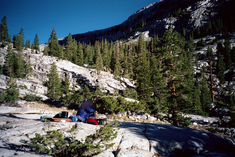
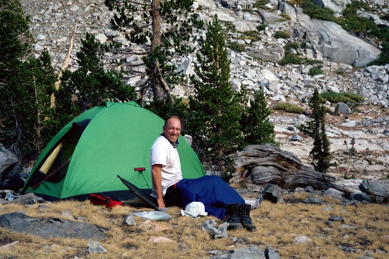
We camp SE of the river, near 2,900 meters. After dropping our packs we go for a dip in the river. We find a beautiful pool which turns out to be warm enough to bob around in. I go in with all my clothing on because it all needs a rinse.
|
|
|
The pool. first empty, then with me doing laundry, then with me soaking. |
Gain: 2360 ft, Loss: 610 ft. 5.5 hours. Weather: high clouds thickening mid afternoon, then thinning in evening.
 We hike E, up slope toward the lowest lake in Picket creek.
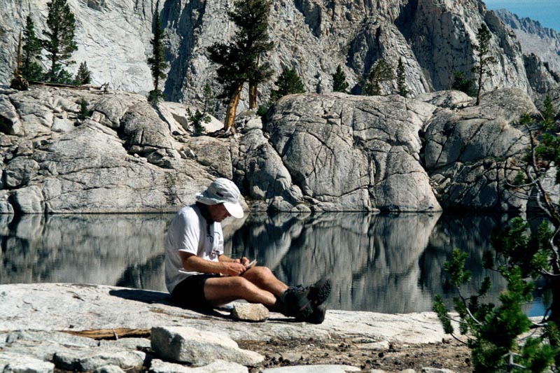
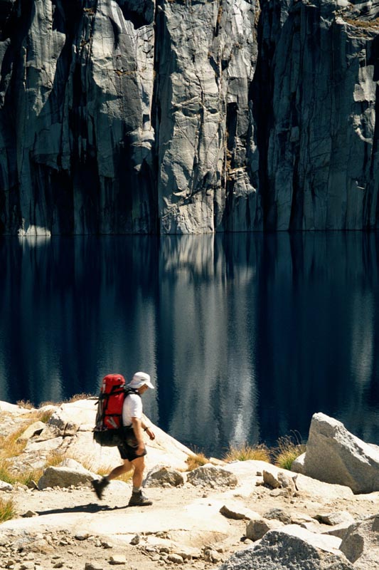
We arrive on the granite rim of the lake and look across at an idealic setting of trees, white granite, and a gentile
stream. Rounding the lake we find one of those unbelievably beautiful camp sites that can exist only in the Sierra.
When ever I come across such a beautiful site early in the day I'm in a quandary: can I pass this up. We agree
to break till noon, thin move on into the upper basin. Latter Paul comments on how beautiful this lake was.
We hike E, up slope toward the lowest lake in Picket creek.
We arrive on the granite rim of the lake and look across at an idealic setting of trees, white granite, and a gentile
stream. Rounding the lake we find one of those unbelievably beautiful camp sites that can exist only in the Sierra.
When ever I come across such a beautiful site early in the day I'm in a quandary: can I pass this up. We agree
to break till noon, thin move on into the upper basin. Latter Paul comments on how beautiful this lake was.
The beautiful lake at the edge of Picket creek basin.
|
|
|
|
|
Gain: 2190 ft, Loss: 2490 ft. 6.5 hours. Weather: high clouds, cooler, windy, clearing in the evening. Camp at 10,730 ft.
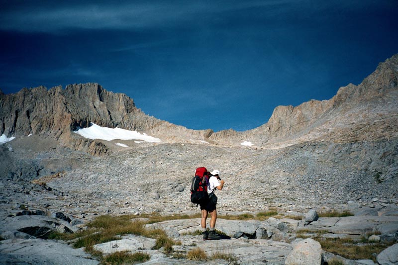
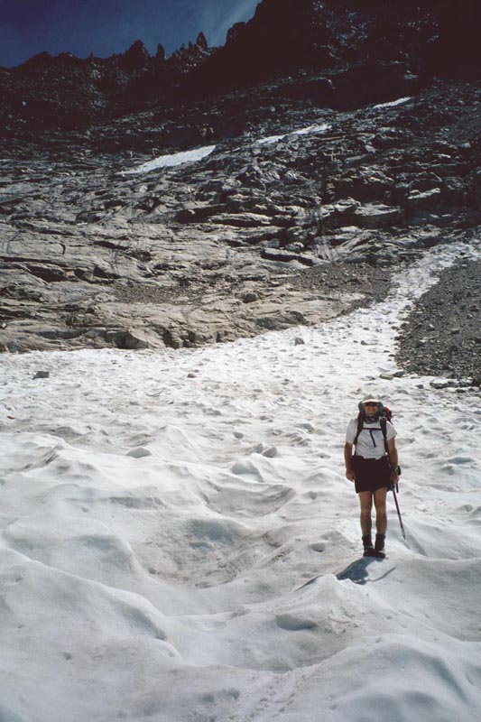
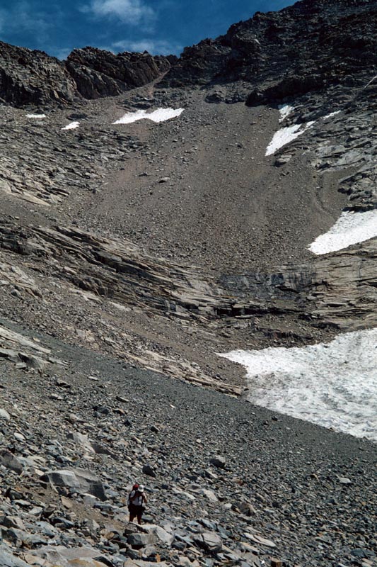
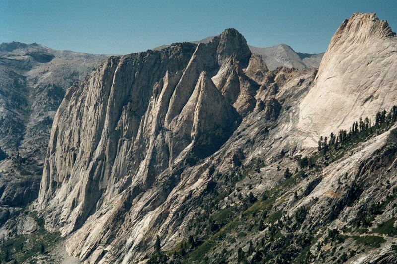
Hike up to the NW of Kaweah basin. Ascend to col on easy ramp to saddle S of center. On the far side there should be a chute leading down diagonally through the cliffs. If not then you are in the wrong spot.
Paul tells me that "Kaweah" means "crap" in the native language. I imagine some early native climbers saying "what a bunch of Kaweah that route was." North of the col is the Kaweah Queen which has one route described as having "loose rock" and another as having "extraordinarily loose rock."
|
|
|
|
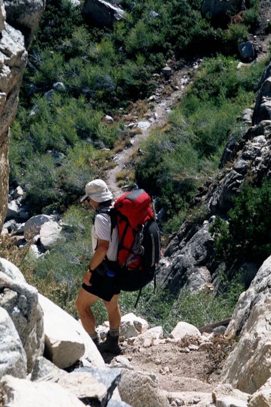
The west side of the col is of ordinary loose rock. We take a short cut through a weakness in the cliff bands, then up to the col on a brad ramp.
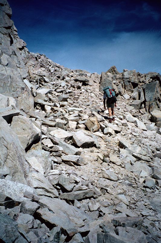
The east side is of extraordinarily loose rock. The steep, diagonal chute is bad and so is the whole slope down to the lake (we take refuge on the snow for a ways).
|
|
|
|
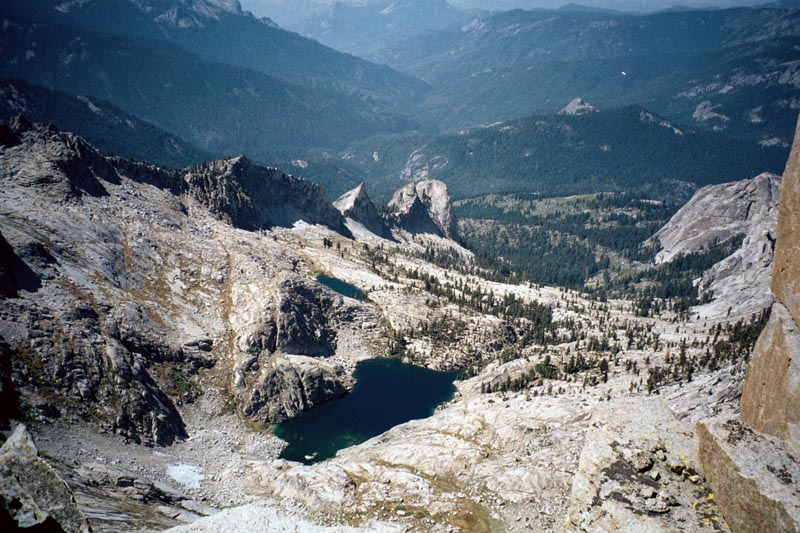
The best way to see Kaweah basin is to camp at the lowest lake in Picket creek for two nights and to day hike into the basin. The lake can be reached via the slopes to the north or east.
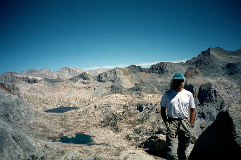
Our camp in 9 lakes basin.
Gain: ft, Loss: ft. hours. Weather: Clear and warm.
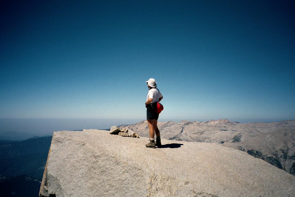
We climb Eagle Scout peak from Kaweah gap then hike down the trail to Bearpaw.
|
|
|
|
|
|
|
|
|
From the summit of Eagle Scout down to Kaweah gap I smell a new odor: something thick, almost industrial. As we drop into the Kaweah river basin I realize the odor is mostly coming from the vegetation as it bakes in the sun, though some may be wafting up from the Kaweah valley below. We have been in the pristine high alpine for so long that the vegetation is suddenly a new smell for me.
Paul says that this is a 6 mile hike, but he didn't measure the switch backs. The trail is carefully graded, which means a lot of horizontal work to drop elevation. It also means that by the time we reach Hamilton lakes I'm tired and a swim feels great. We still have 4 miles to go to Bearpaw.
|
|
|
|
|
|
Gain: ft, Loss: ft. hours. Weather: Clear and warm.
Hike out to Wolverton.
Paul also said that this would be a 6 mile day. We start out on the High Sierra trail, which goes to the Crescent meadow TH. After 5 miles we turn off and take the Over The Hill Trail. This ascends 1,500 ft then descends again to Wolverton, 6 miles further on. On our way up I notice that ALL the other prints on this trail are from horses. Here we are humping heavy packs up hill in the heat of the sun like a couple of pack horses. Despite our big brains
We finish the day with another meal in the Wuksachi Lodge.
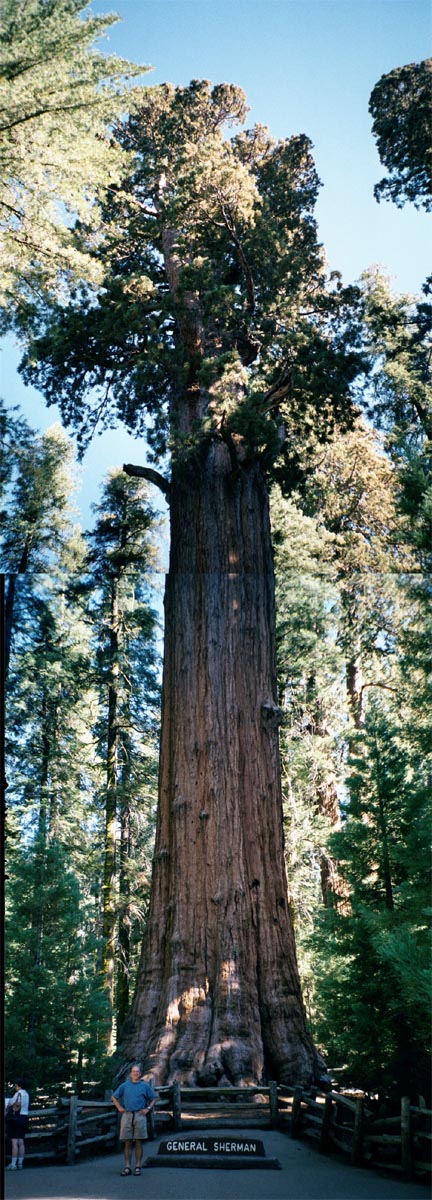
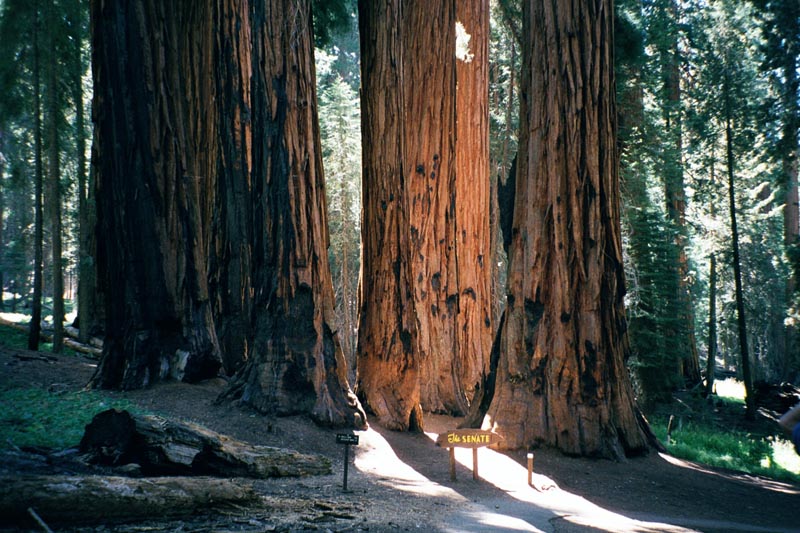
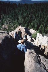
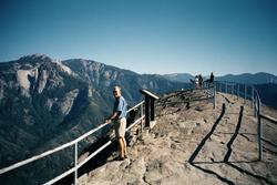
See the sites of Sequoia Park.
|
|
|
|
|
|
|
|
|
|
That evening we drive out of the park and all too quickly we are back in the commercial world. We stay in a motel a couple hours from the park. The next day we drive back to the San Jose Airport.
[Back] [Home] [Trip Journals] [Climbing] [Kayaking] [Flight] [Photos] [Food]
Page last modified: Oct 07 22:54 2025 by Tom Unger