Day 5, 10/18/2001
Evil Talus, Crocker Col, McGee Lake
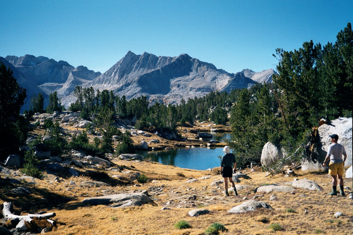
In the morning we continue up Pioneer basin. At every courner this basin stuns me with it's beauty. Lake after lake this is a magical place.
|
|
|
|
|
|
|
|
|
|
|
|
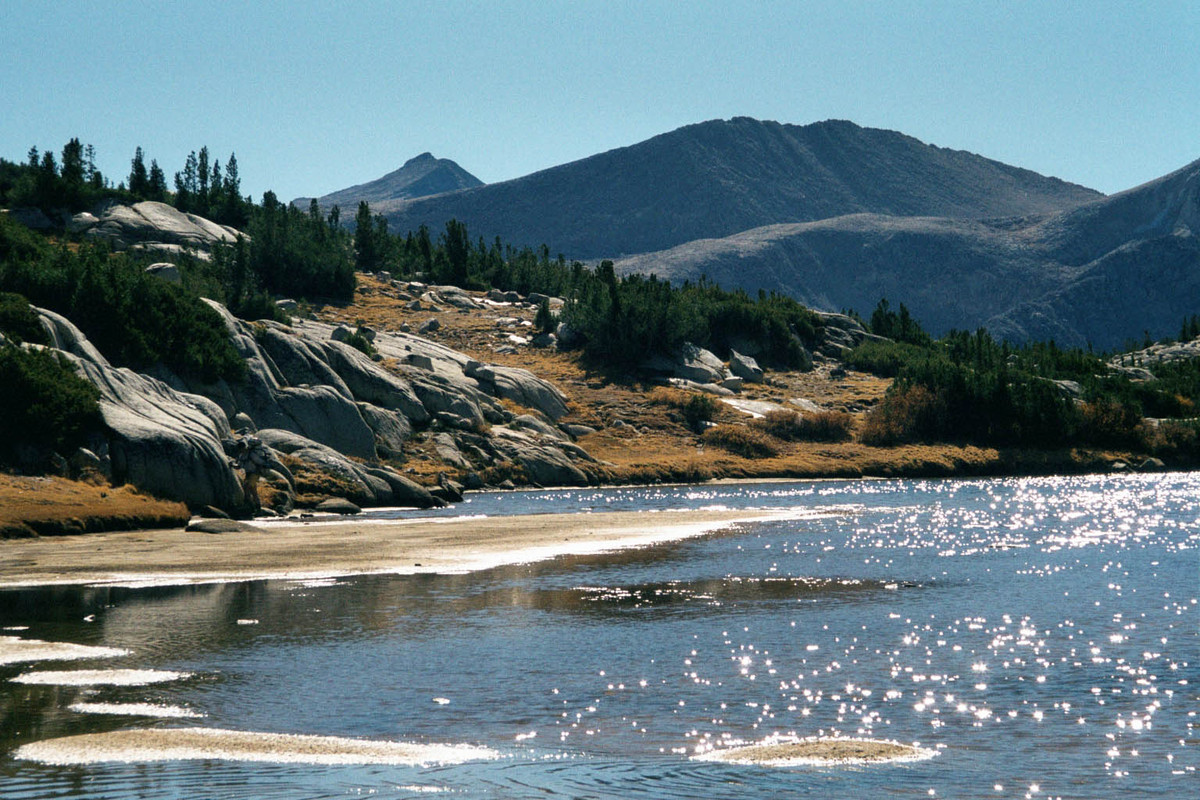
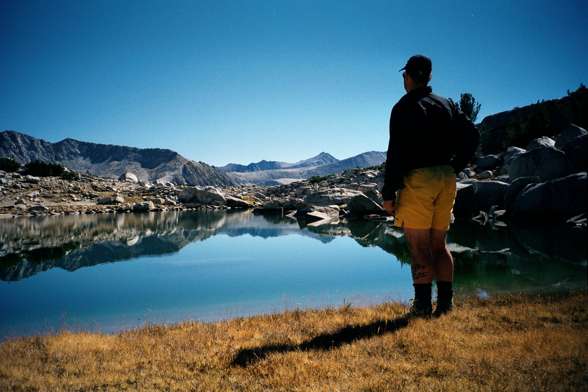
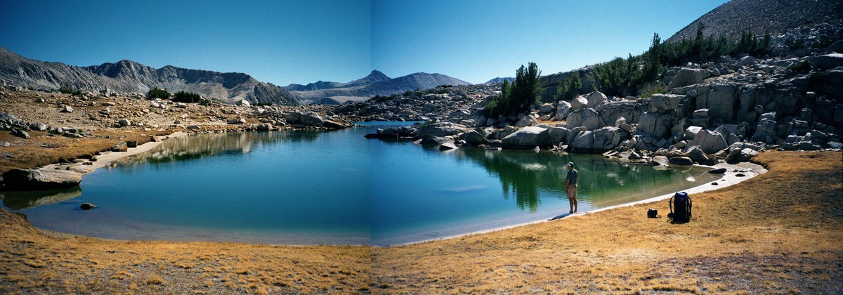
The very last lake has a small arm with a beautiful beach where we stop for lunch.
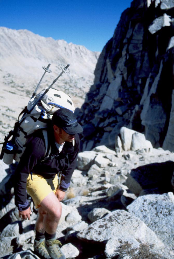
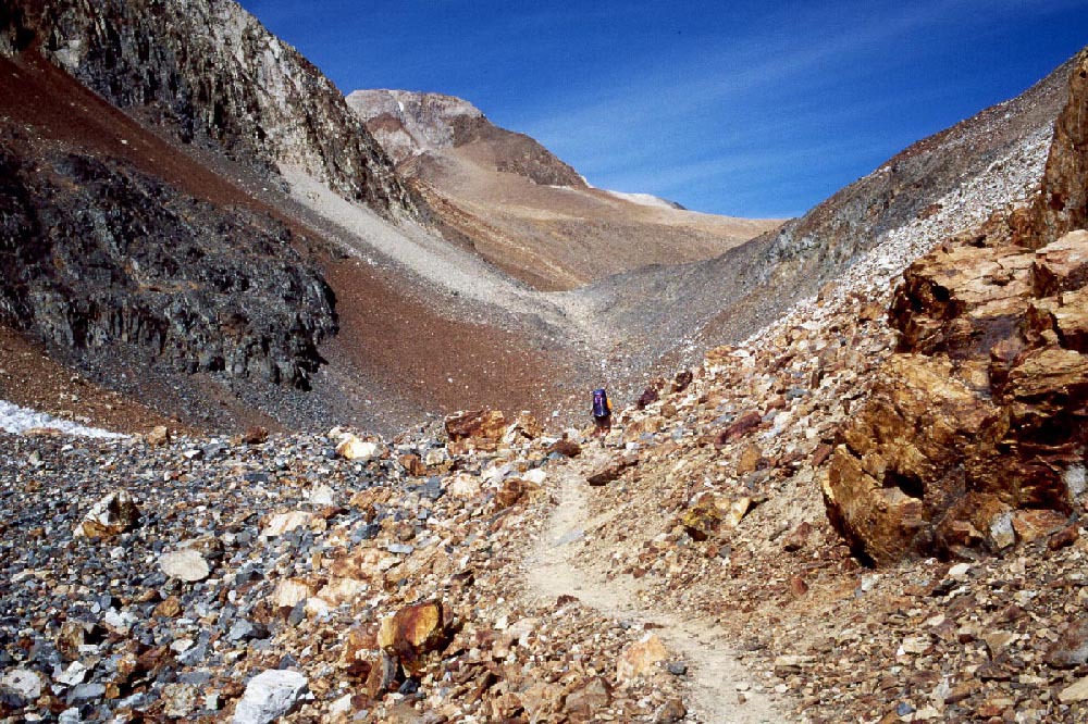
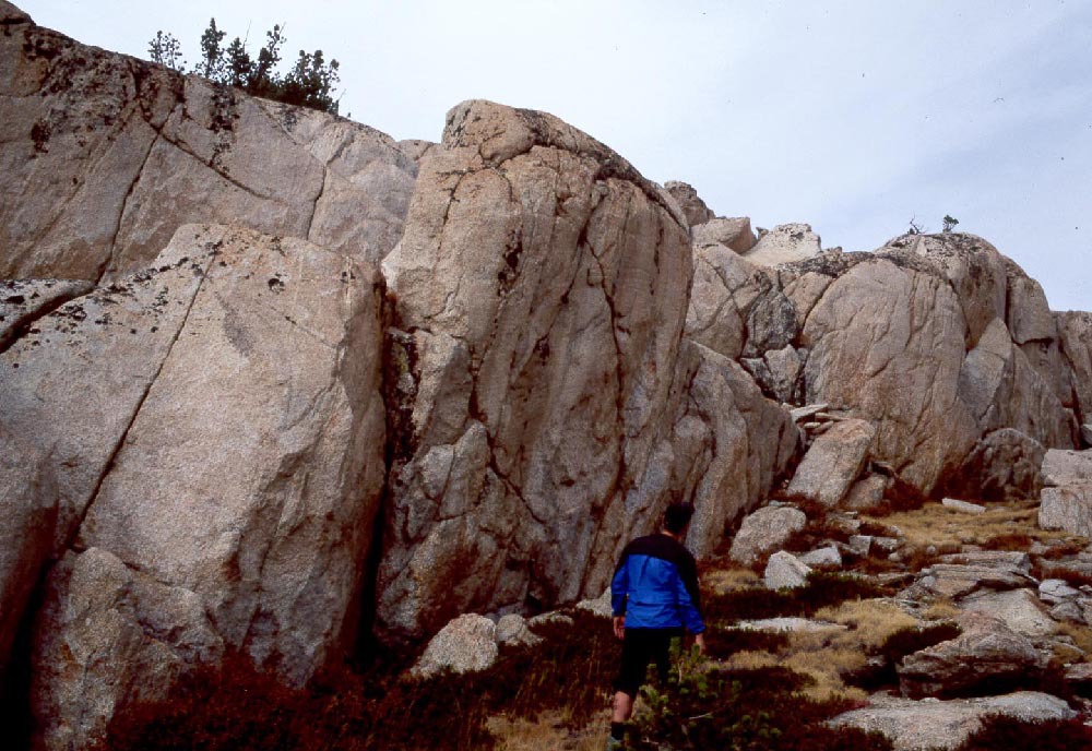
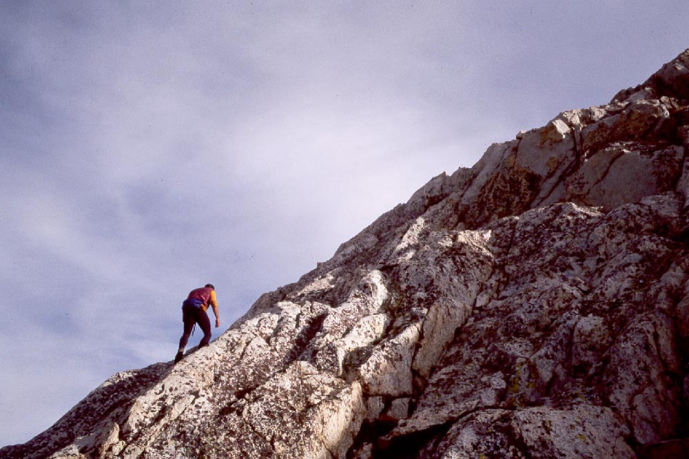
| After lunch we head toward Crocker Col. There is a lot of tallus between us and the col. The blocks are huge and some are unstable. Before long we are all feeing uneasy being on the evil tallus. As the slope steepens footing is more difficult. Paul or I dislodge a pack sided rock. We split up and take seperate paths. |
|
|
|
|
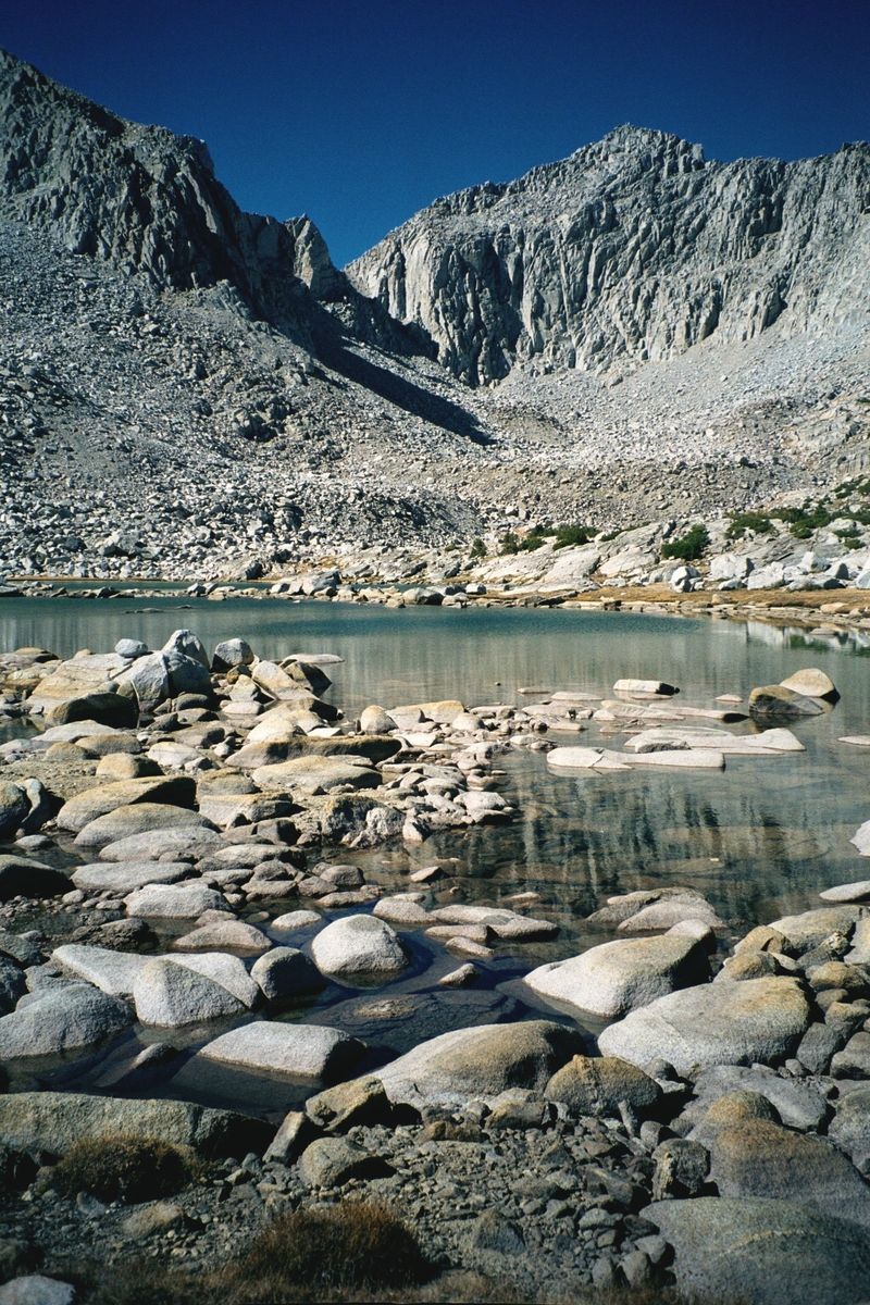
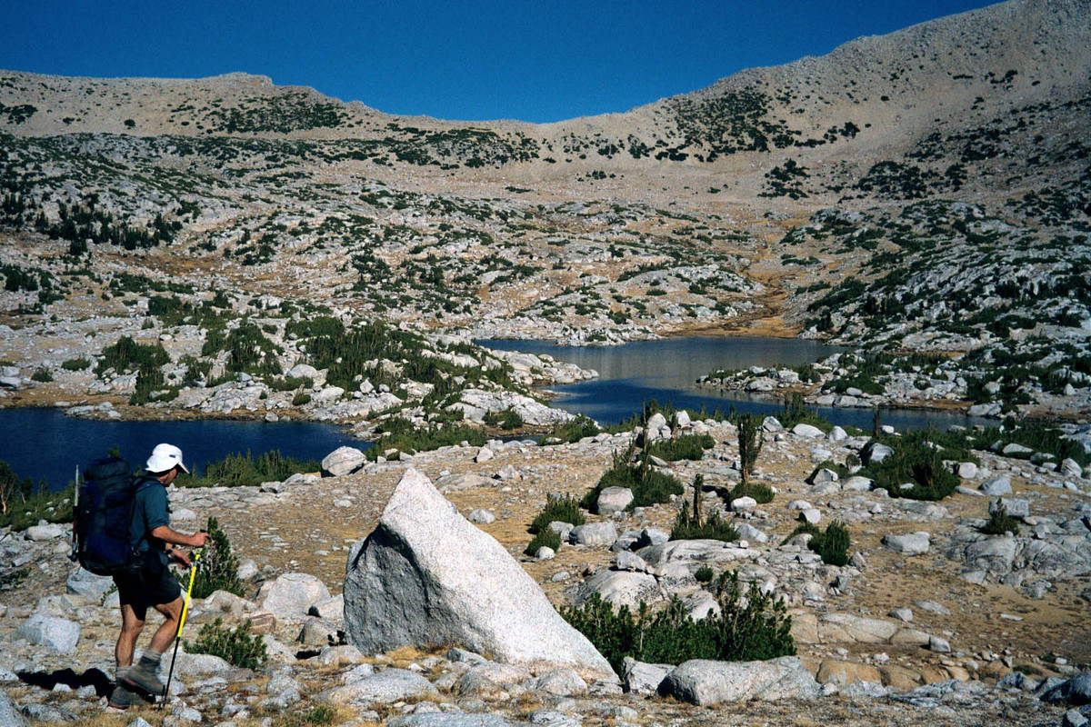
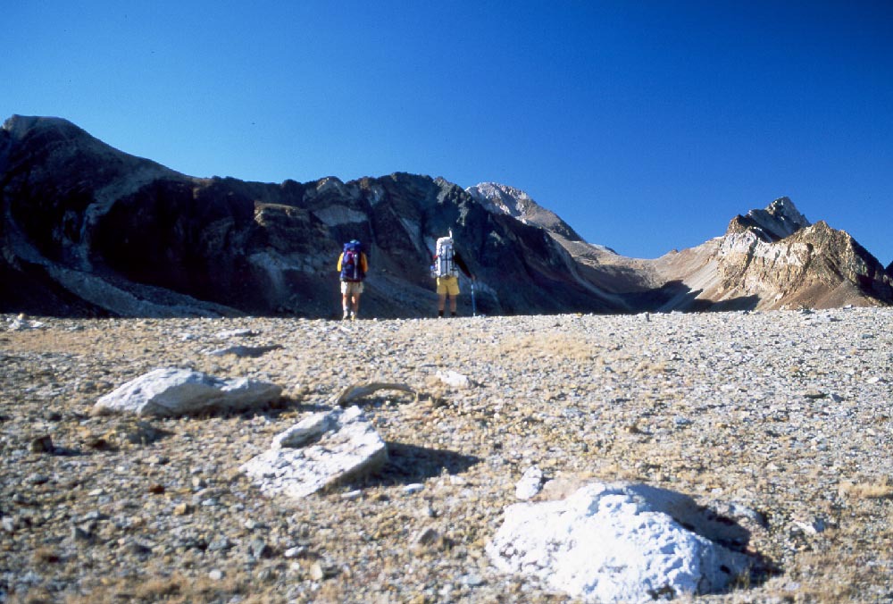
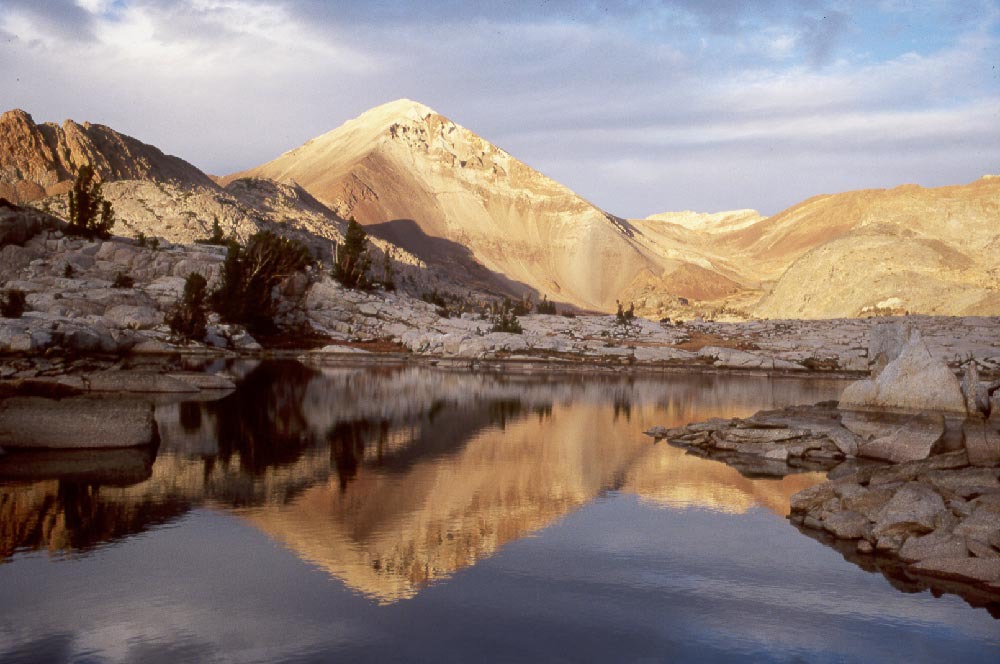
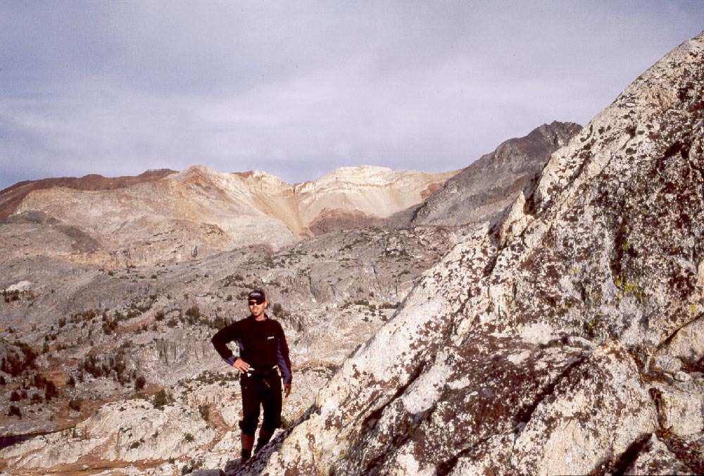
Paul and I scramble to the summit of Crocker. From there we are able to look north into McGee lake and get an idea to change our route. Mt. Crocker is on the Silver Divide. We want to cross to the north side of the devide and are considering using a pass called "Shout of Relief", which is further west. On the map "Sout of Relief" does not look that difficult and we have begun to suspect that the releaf may be from loose tallus. Based on our recent experience we are thiking we should like to avoid more loose tallus. Perhaps we can cross Headly Pass into McGee Basin then follow the trail over McGee pass.
At the end of this trip I lost my camera along with my last roll of film. Most of the pictures from here on were taken by Paul Russell
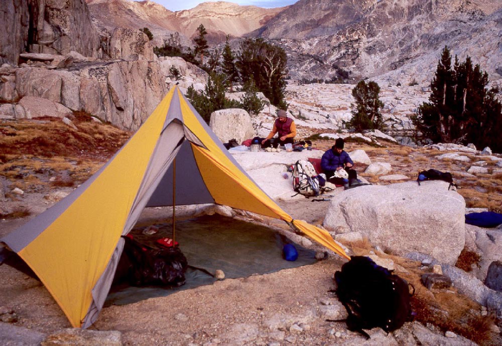
| Paul and I catch up to Jamie and we stop on slopes above upper Hopkins lake to consider our route. From there getting to Headly Pass looks easy so we decide to go for it. The route down the other side is a little steep, but generally a decent foot path. We camp on a rock outcrop above McGee lake. We pitch the tent for warmth. |
|
|
|
|
Day 6, 10/19/2001
McGee Pass, lakes plateau
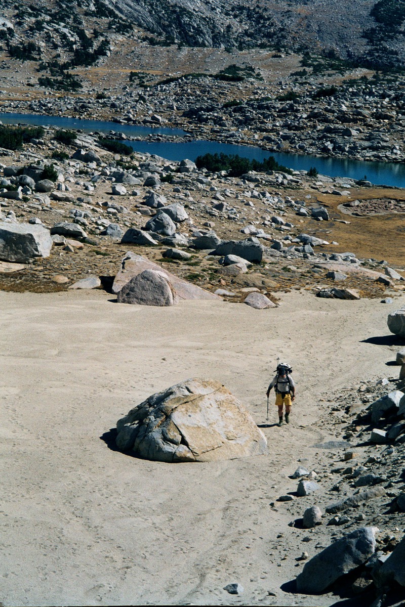
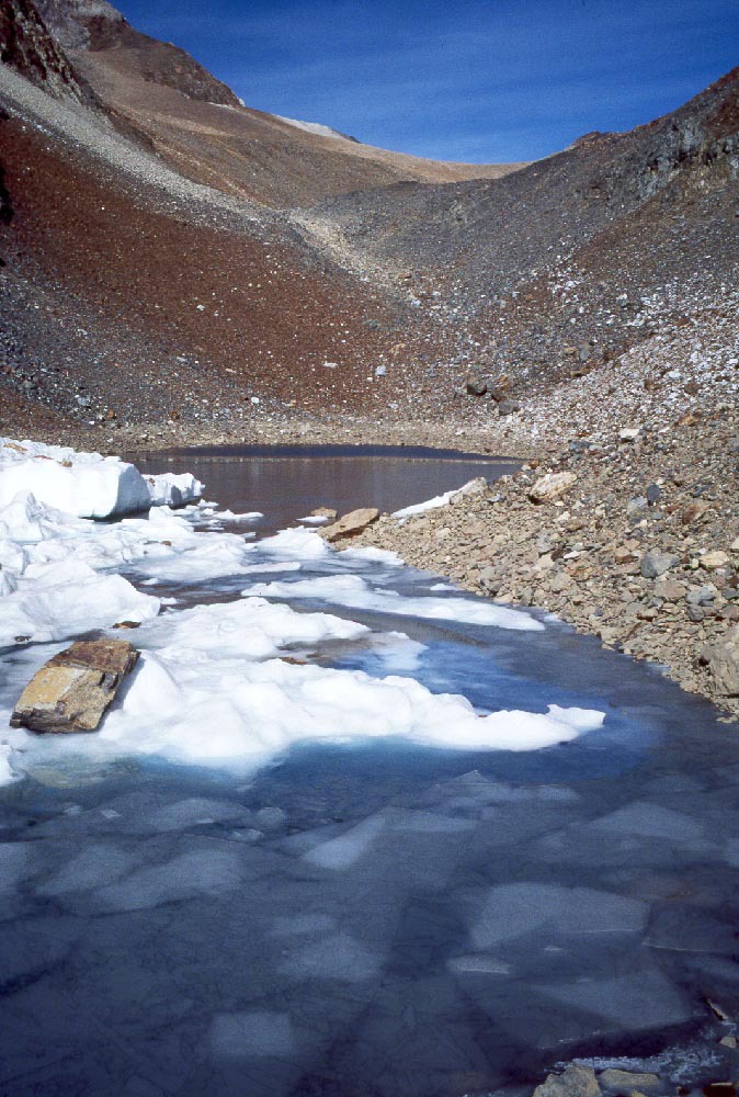
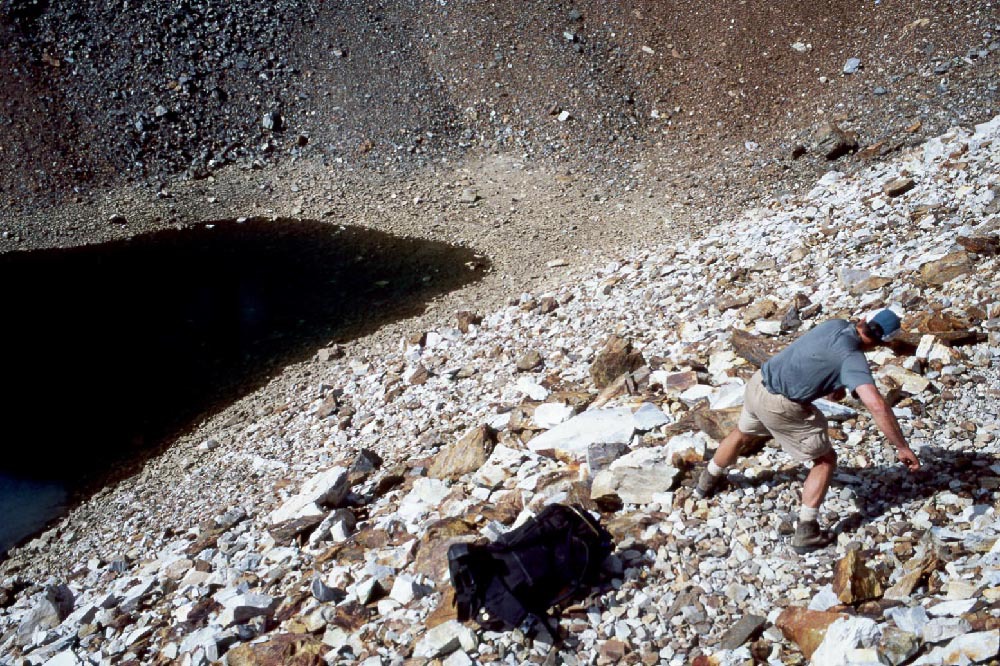
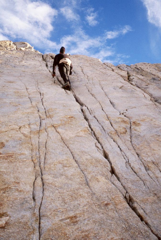
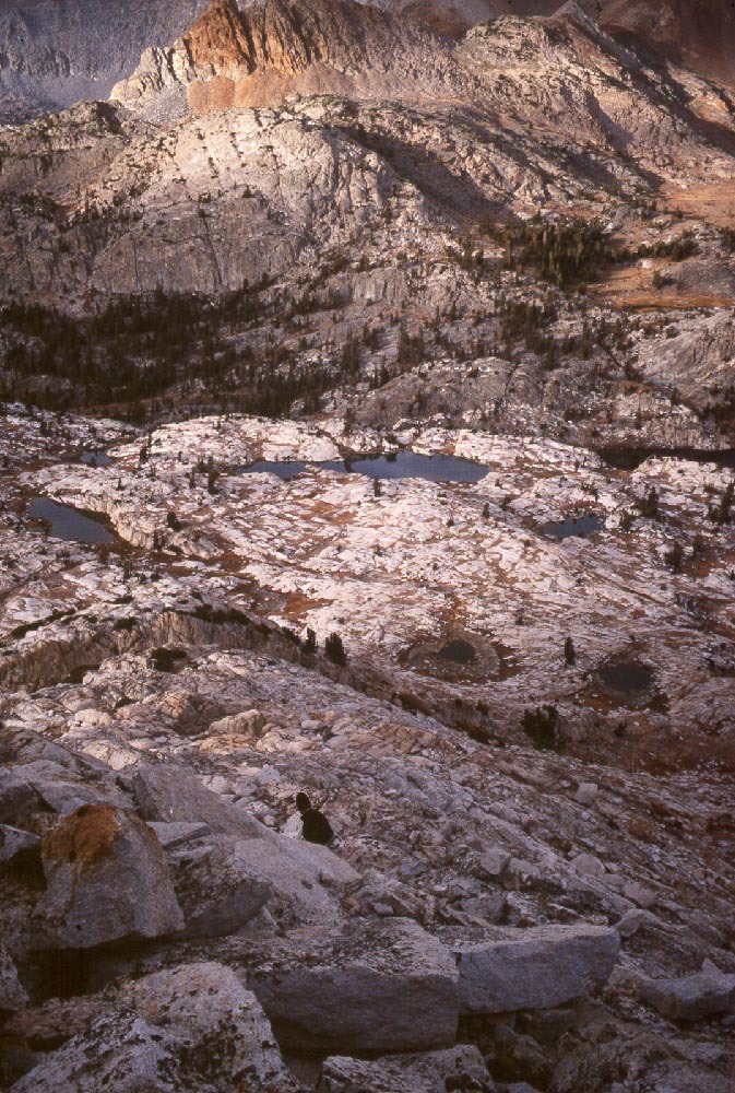
In the morning we pickup the trail and hike it toward McGee Pass. Again, the nature of the terrain has changed. Now the rock around is a rust orange with sparse pine trees. Further up it is just rock. The pass is back up a narrow valley aways. The trail crosses a slope of loose scree above some small lakes. The higher lake has some thin, fresh ice. We stop and spend some time throwing rocks down on the lake, watching them plunge through the ice or trying to get them to stay on top of the thinist ice.
|
|
|
|
|
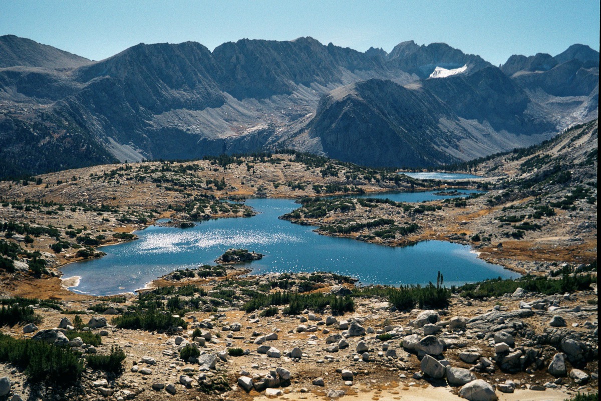
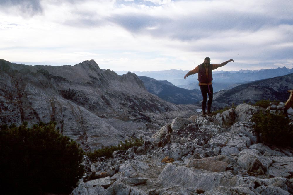
The pass is another place of beautiful desolation. We descend too many switch backs, cross Fish Creek, then ascend to a plateau of many lakes which we suspect of being most beautiful. We cross to the west side of the plateau to check our descent route then camp nearby.
|
|
|
|
|
|
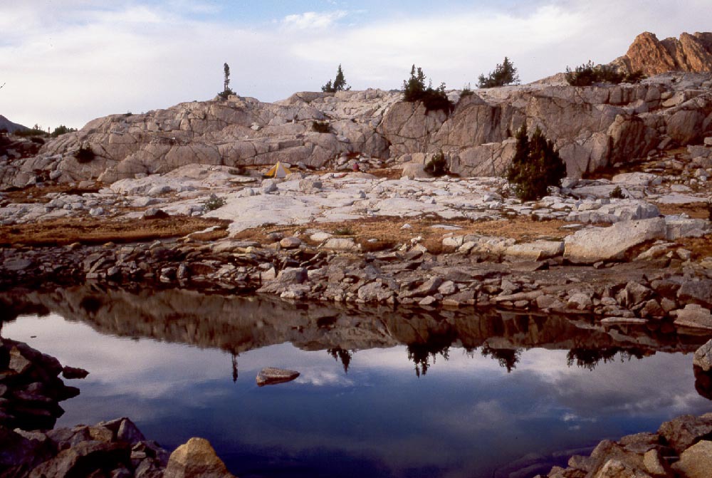
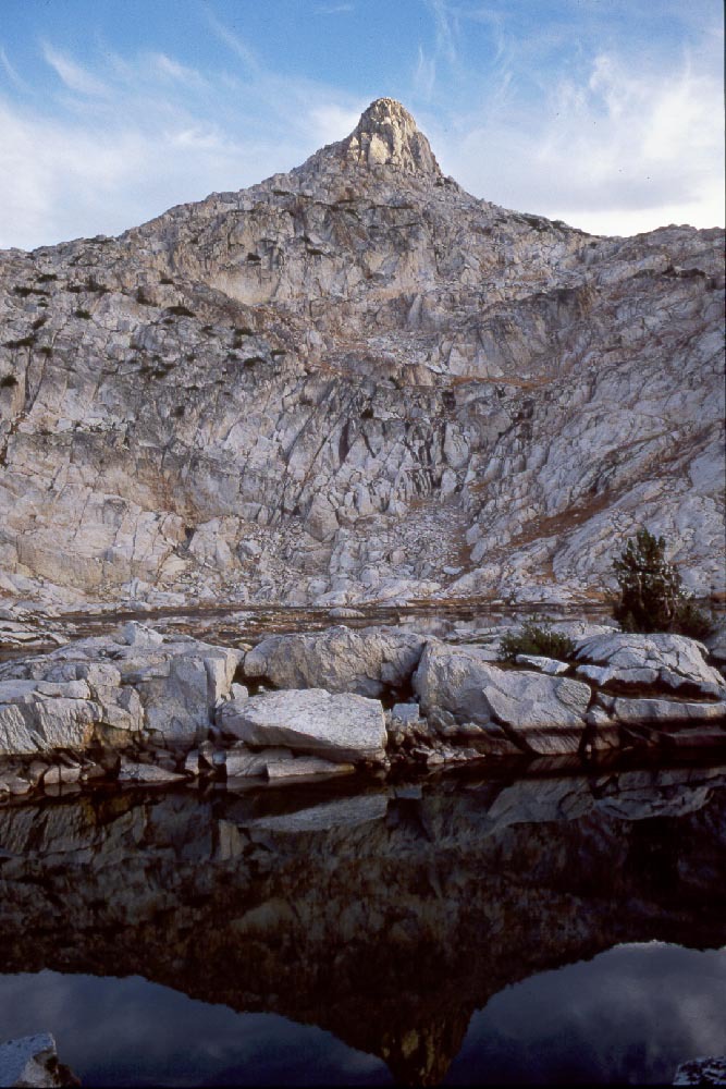
After setting up camp we take off to climb a small nearby peak which looks like a fun scramble.
|
|
|
|
|
|
|
|
|
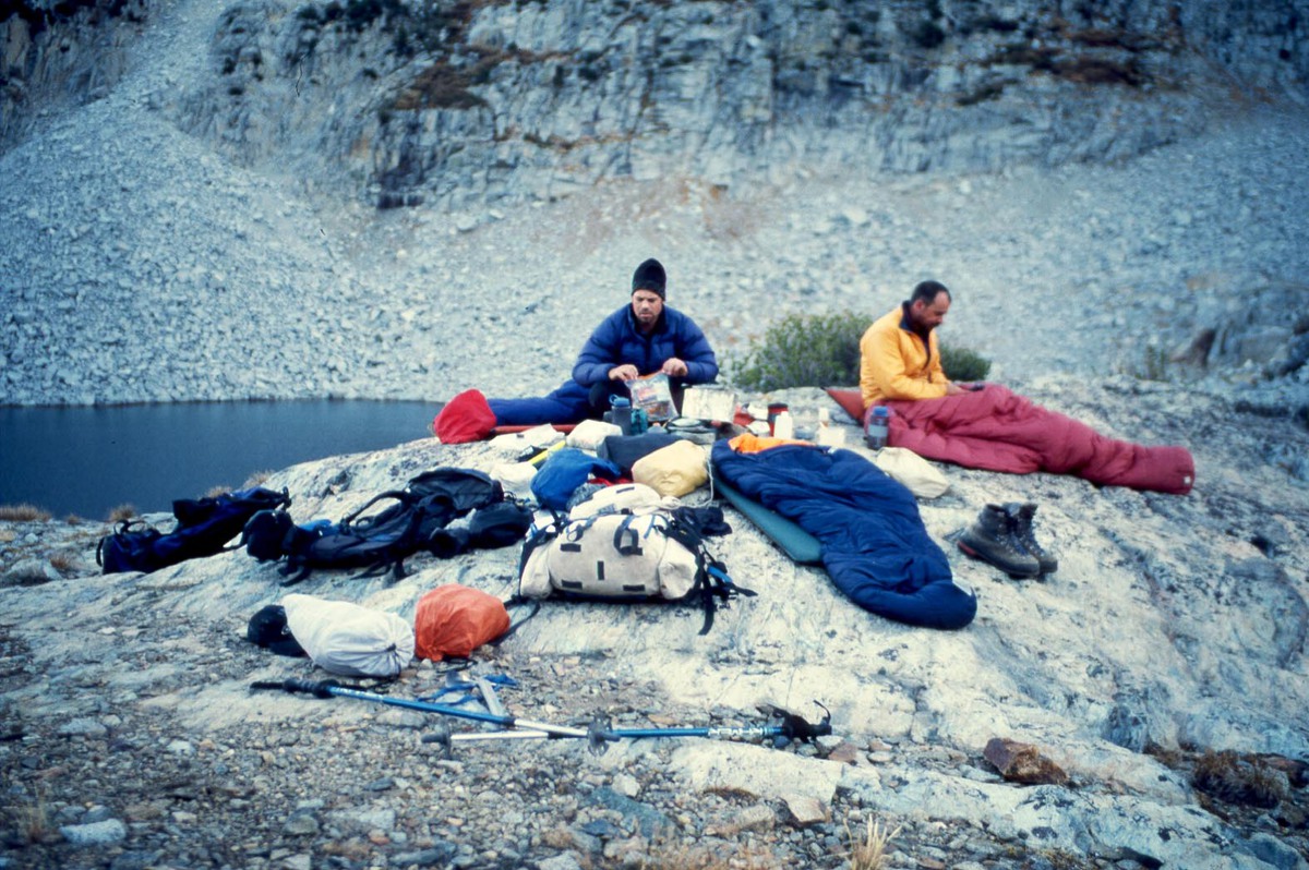
For our reading material we have all brought palm pilots with books on them. This works out very well: they are lite to carry and the backlight makes reading in the tent easy. This evening, after getting into the tent, we all pull out our palm pilots at the same time, look at each other realizing what we had just done.