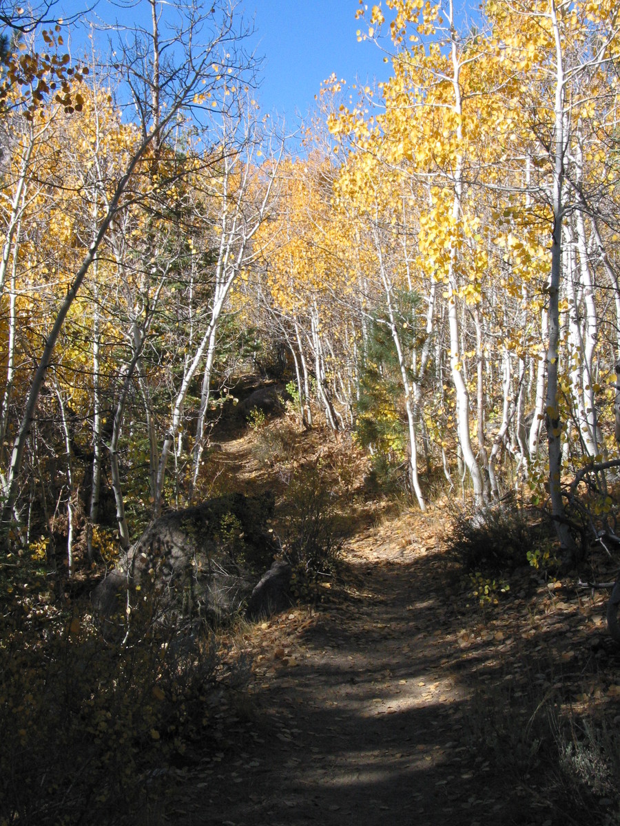
4th trip to the Sierra - I love the golden fall colors of this time of year. My last trip was 2002 when Marie, Paul, and I went to the Evolution region in mid-October. That trip was great, but too high and too late in the season. This trip I was able to plan to a lower elevation but other plans pushed it back to mid-October again.
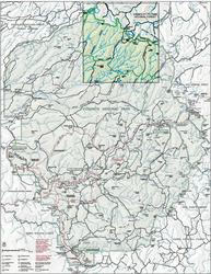
Map of the trip
Day 0
10/5/2004: Fly to Reno, rent car, drive to Twin Lakes
When I go to rent my car the agent tells me my driver's license has expired! It is true, it has! I really, really meant to renew, but somehow it slipped my mind for all of August and September. Now my trip could be over before it starts. But she tells me that my state department of licensing my be able to fax an extension. A couple of calls and this happen.
The Reno REI is located just a mile or so from the Airport. When I ask to look at maps they send me to the National Geographic Map Machine. I guess USGS Quads are becoming a thing of the past. It is here that I really begin to planning route. I knew I wanted to go to the northern border of Yosemite but didn't have any detailed maps of this region. The Map machine leaves a lot to be desired for trip planning. It can either show me the small section of a Quad or half of california. There is no intermediate zoom position. Panning around is slow and imprecise. Still, I begin to see a possible route. I choose to print whole USGS Quads. The Map Machine paper is smaller than the standard quad so the maps are somewhat reduced. I figure I have good eyesight and will do fine. What I don't figure is that the printer resolution is not that good. Through the trip I'm challenged to read the contour numbers and fine detail of trail routing.
|
|
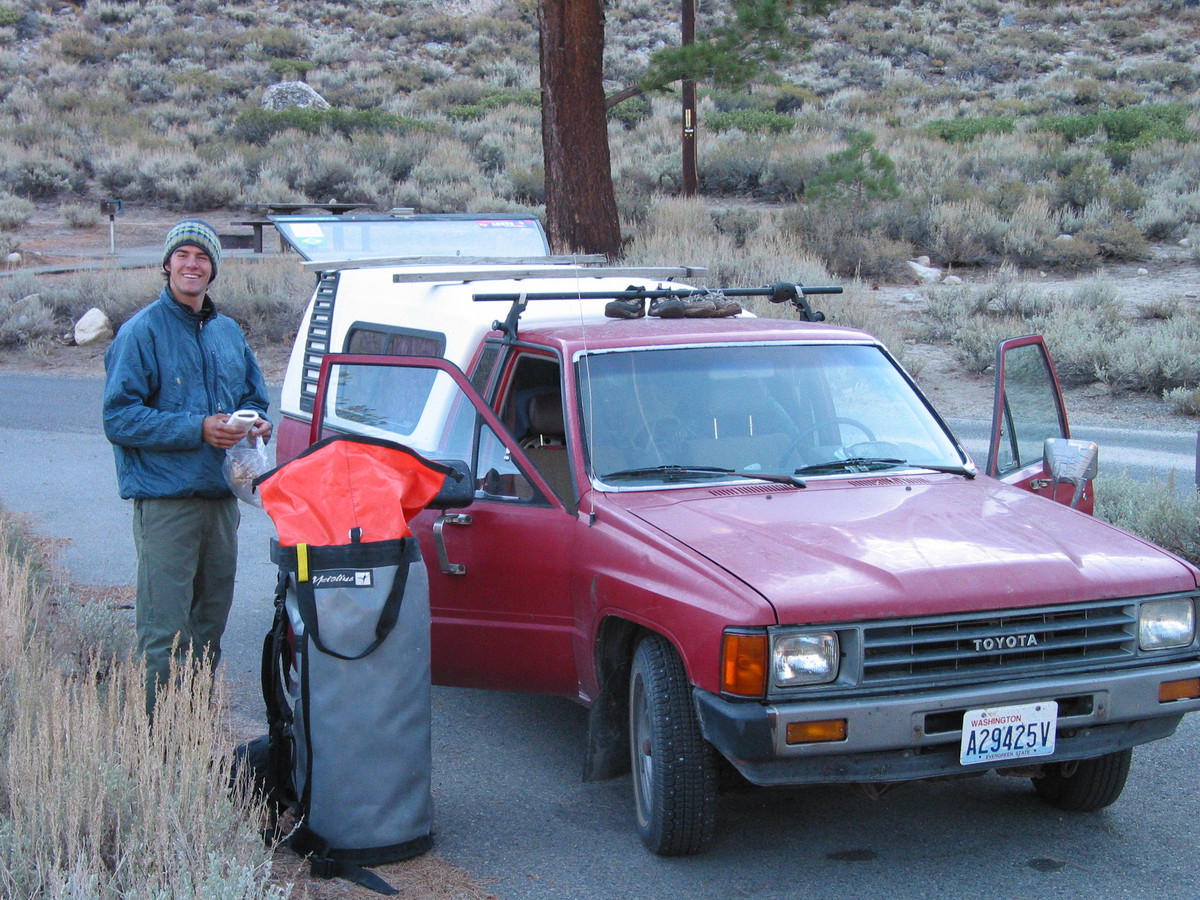
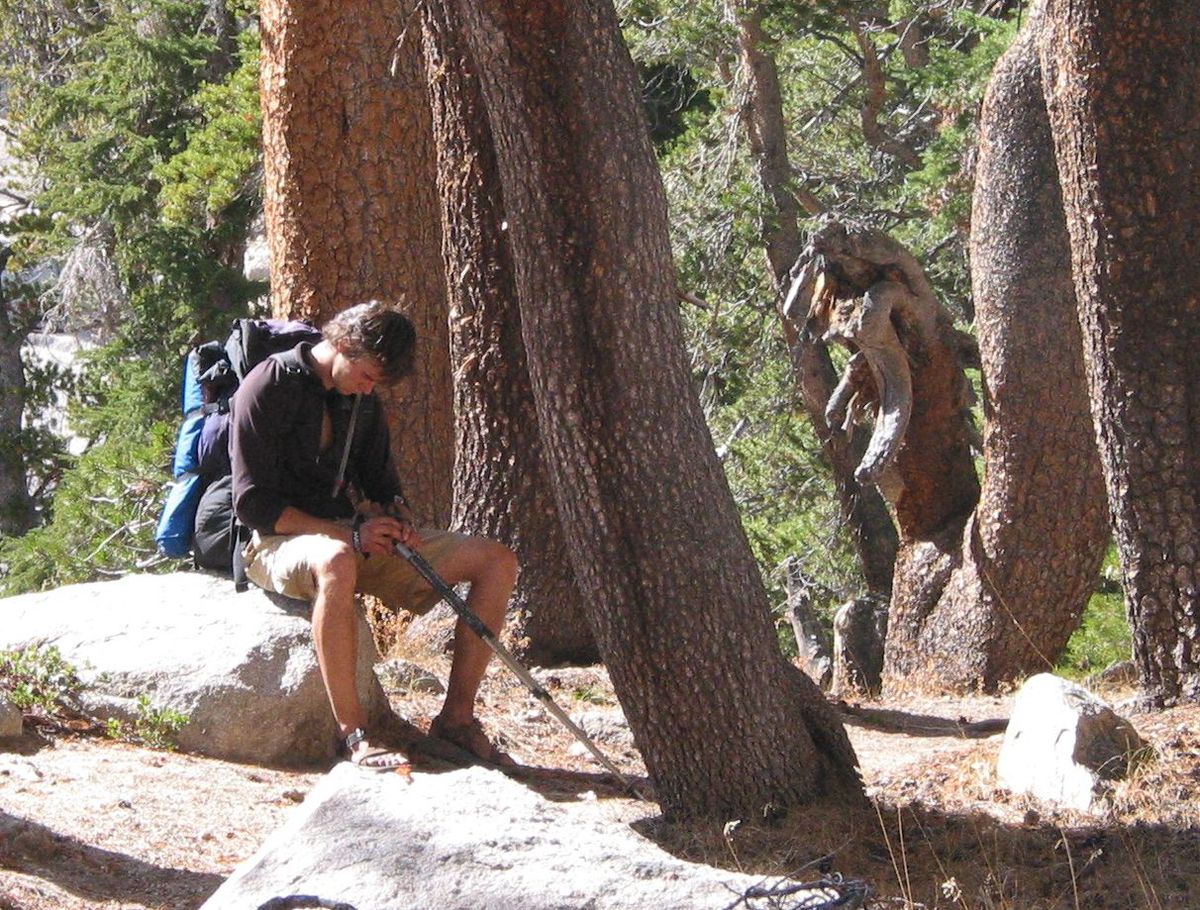
In Bridgeport I meet up to Tyler. I know him from Post 84, the Garfield High school youth group. We have been in Utah together the past two springs as well as a few other trips. He graduated last spring and has spent the summer climbing big routes in Yosemite Valley. I didn't know for sure that he was joining me until a call on my cell phone as I was in the Reno Airport. Nothing has made me feel quite so old as hiking with a valley hardman.
We sleep at a NFS campground near Twin Lakes and pack for our trip in the morning.
Day 1: Uphill Walking
10/6/2004: Hike trail to lake below Slide Mtn.
The scenery is beautiful. Tyler is very polite about not hiking too much faster than me. By the end of the day I'm feeling a bit of an altitude headache. Somewhat against my better judgment we ascend to 10,200 and camp on a rock ridge just south of the lake west of Mule pass. A half hour nap renews me.
|
|
|
|
|
|
|
|
|
Day 2: High Country Rambling
10/7/2004: Cross Slide Mtn, Rock Island Lake Basin, Piute Creek.
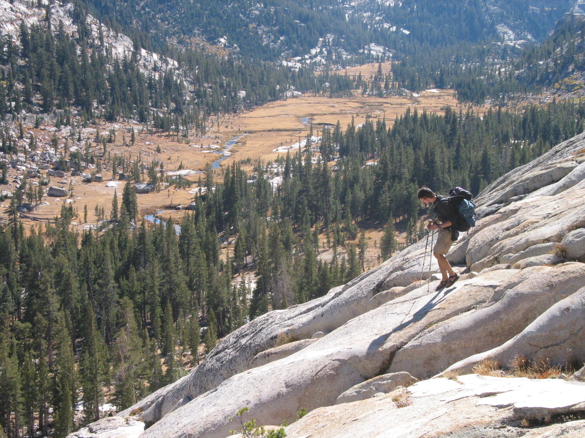
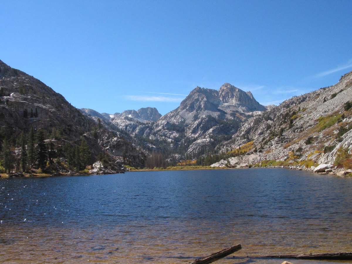
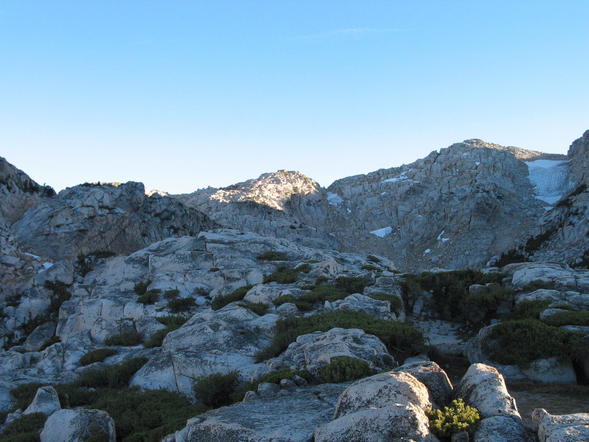
From camp we climb a near pass into rock island lake basin. From the pass we can see beautiful country to the east and I think: maybe we'll try to get there. From the pass we drop into Rock Island Lake basin. I guess it's named for the rock island in the middle. The lake has a sand bank running across it and I 'm able to wade nearly from one side to the other.
|
|
|
|
|
|
|
|
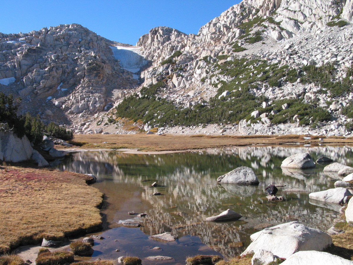
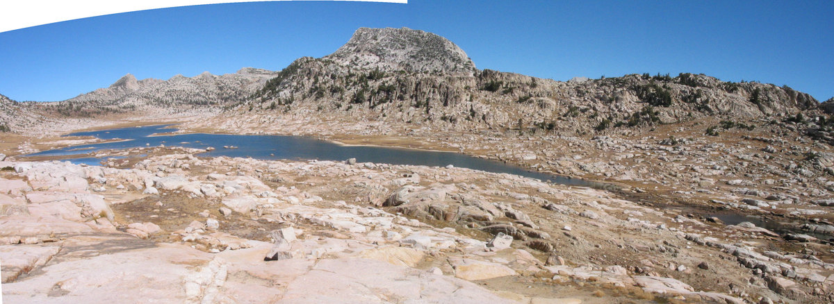
We walk to the south end of the lake, look over a low pass to the south west, climb a small promontory for views, then cross the outlet and exit to the east.
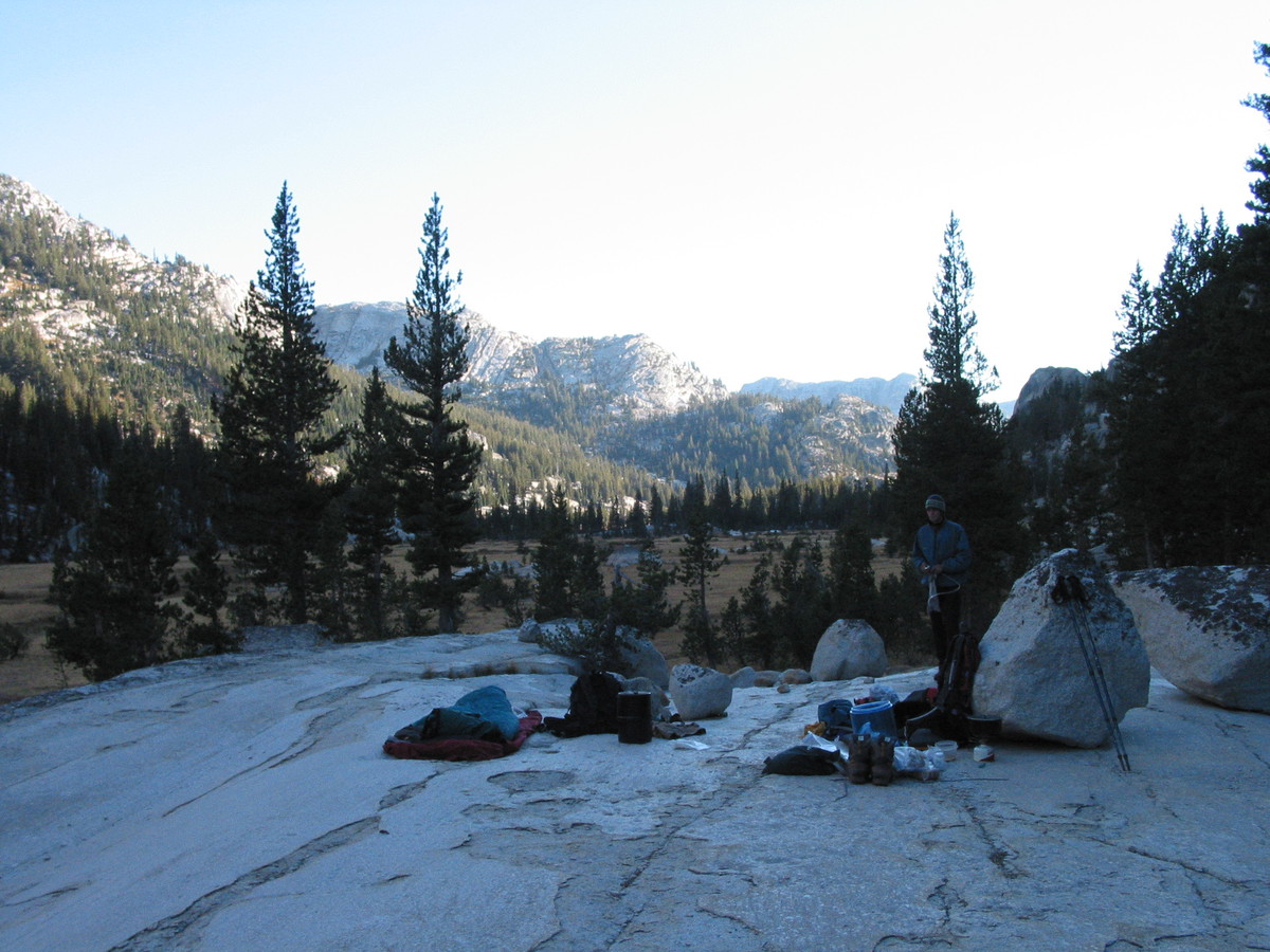
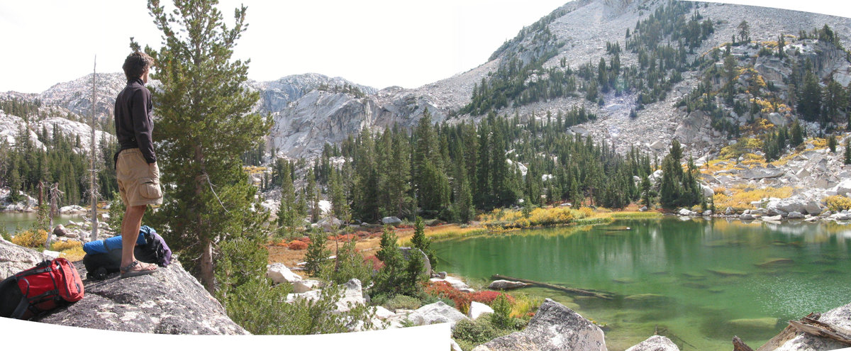
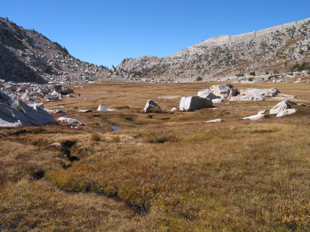
This takes us into the head of another basin. We cross this then descend into Slide Canyon/Piute Creek on granite slabs. There is a beautiful meadow in the valley and, though we planned to hike up to some lakes, we decide to camp here. No people, no bugs, warm sun, clean granite - it does not get any better than this.
|
|
|