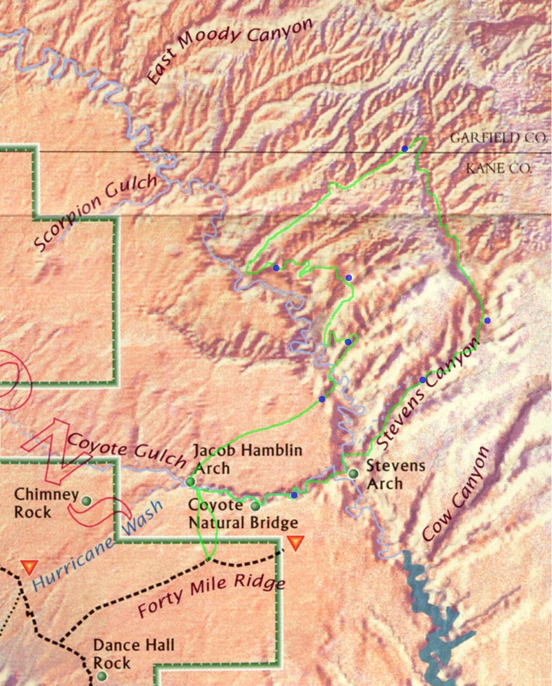
[Map of the trip]
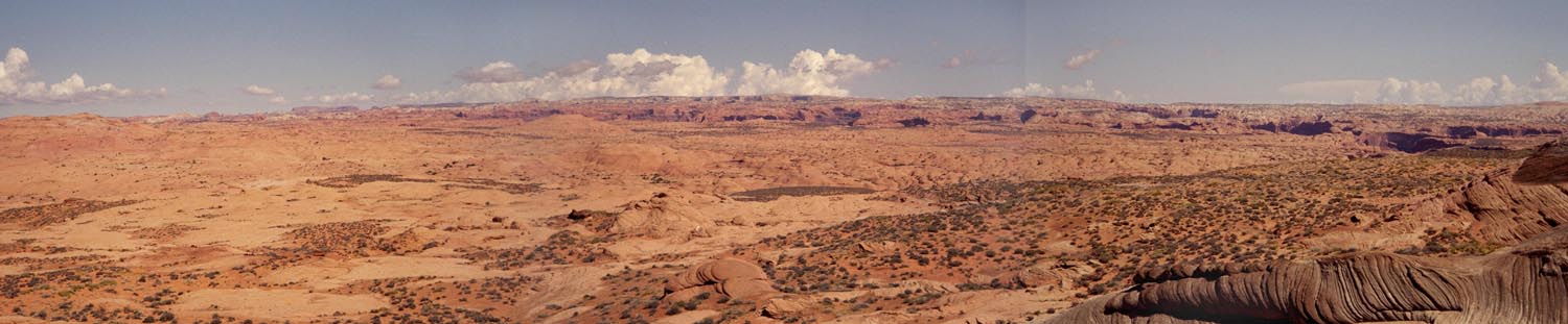
In 1998 Marie, Andrew, and I went to Utah and hike the canyons west of the Escalante. It was an exceptionally beautiful area. There was one section in particularly which we rushed through and I knew that I wanted to return. I had the chance in 2001 when Marie and I planed a trip with our neighbors Steve and Gina. Steve Allen's guide book described a route through 4 remote canyons between the Escalante and upper Stevens. We figured that we could make a relaxed 10 day loop out of that.
Day 0, 3/21/2001
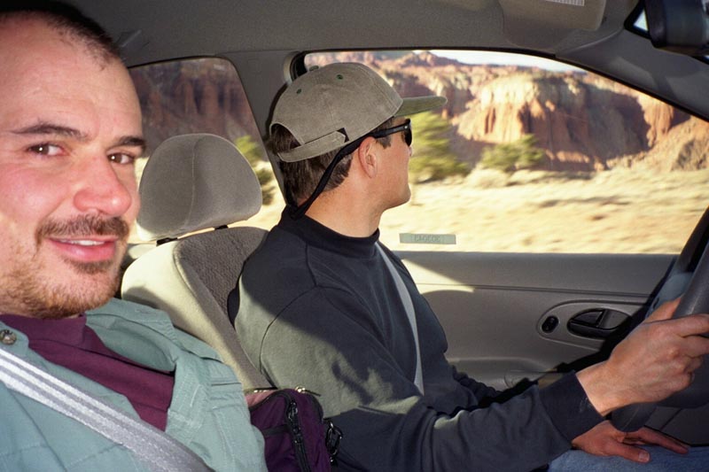
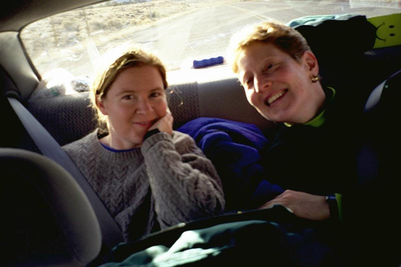
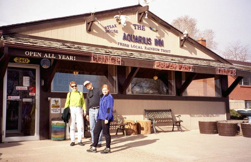
Fly to Salt Lake City and drive down to the Escalante
|
|
|
|
|
|
|
|
|
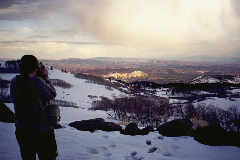
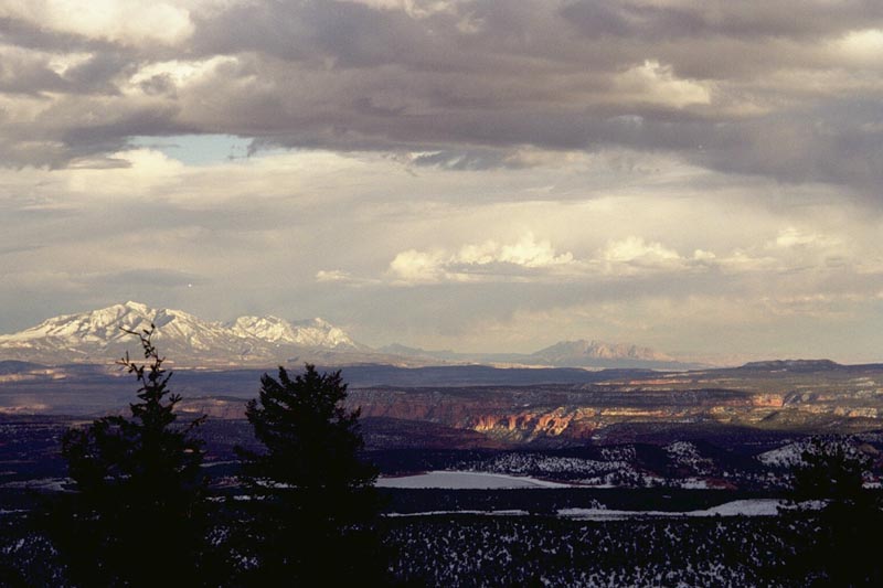
I had hoped to sleep in Dance Hall Rock. 3 years ago we made it to the place, but couldn't find the Dance Hall in the dark. This year we don't even come close and end up sleeping in the Calf Creek camp ground. It is really very beautiful.
Day 1, 3/22/2001
Drive to trail head, descend into Coyote
Gulch, hike several miles toward Escalante.
|
|
|
|
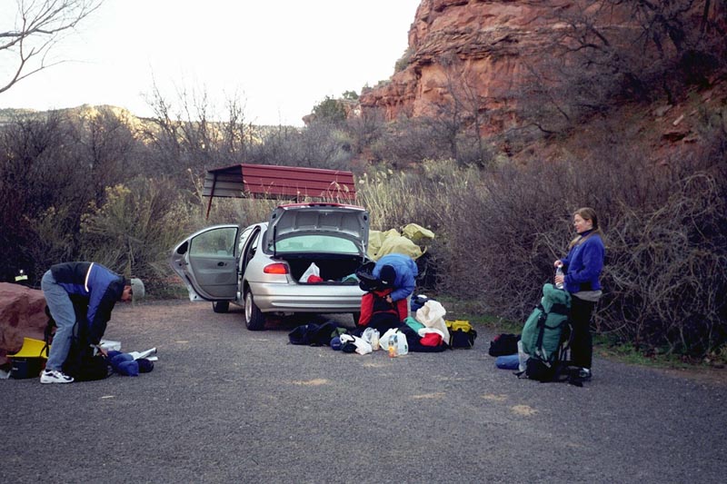
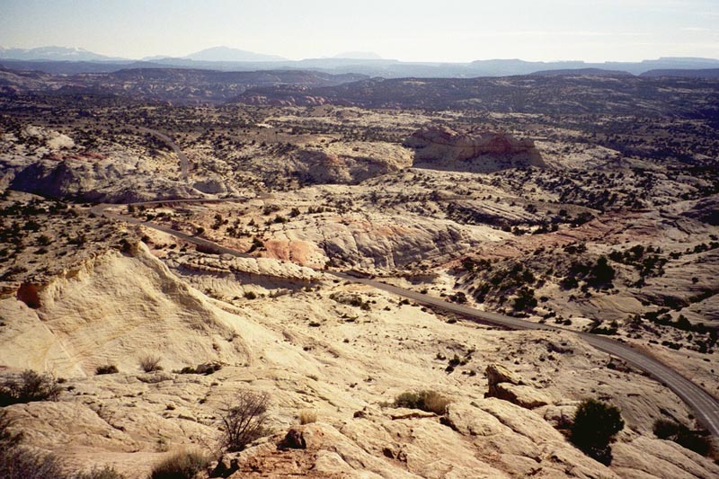
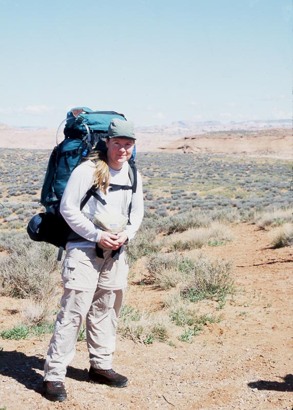
3 years ago we skipped Coyote Gulch and went straight down to the Escalante via Crack in the Wall. This year I figure that, regardless of the crowds, Coyote Gulch is probably worth seeing. Plus, it saves us driving the last couple miles of soft, sandy road and puts the car closer to our exit point. So we park at the water tank, hike to the rim, and begin looking for the slabs which allow access to the Gulch...
|
|
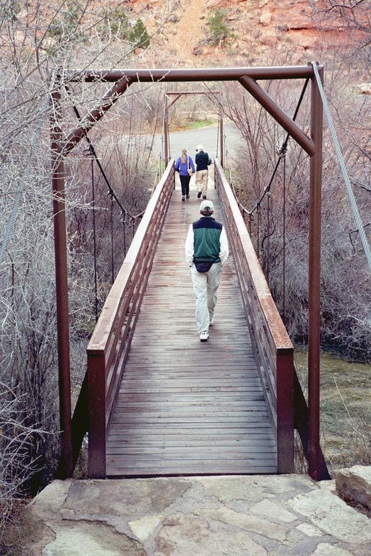
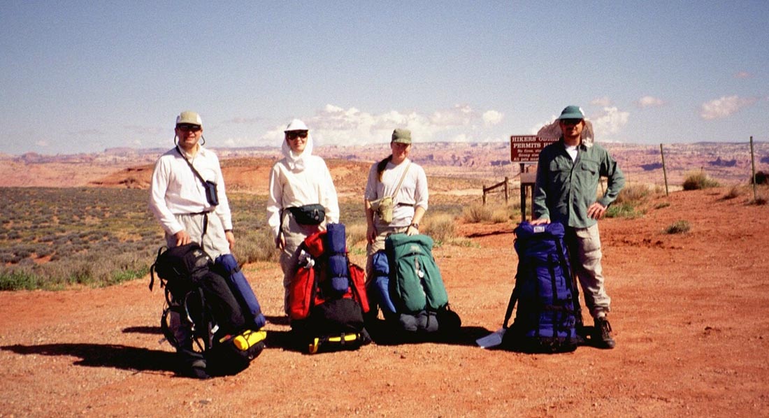
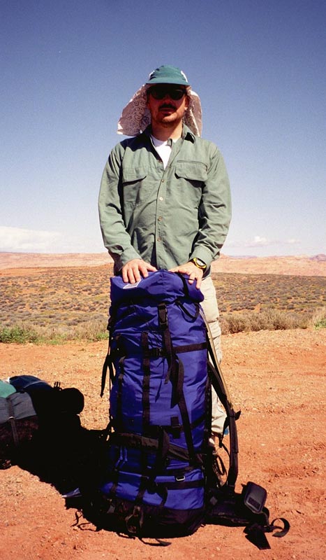
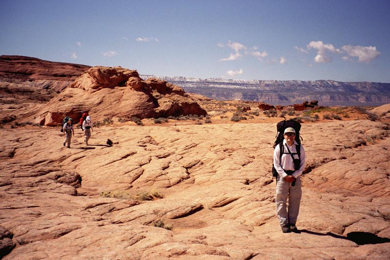
The crew at the start of our hike. |
|
| |
||
| |
|
|
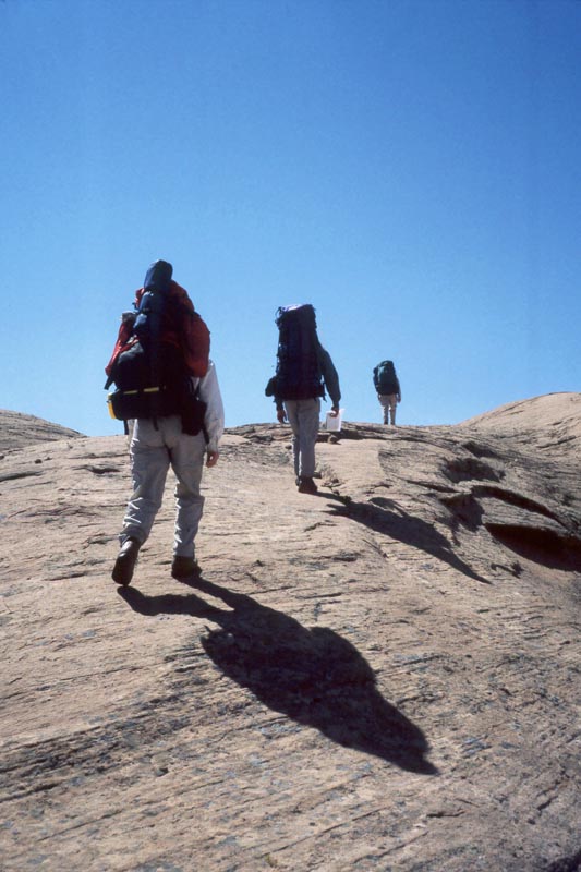
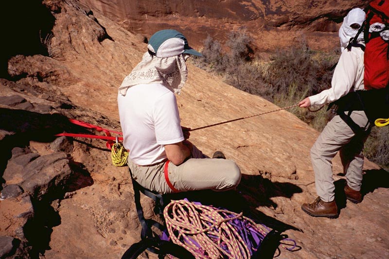
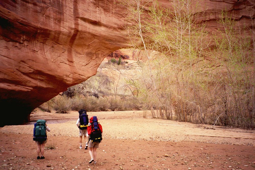
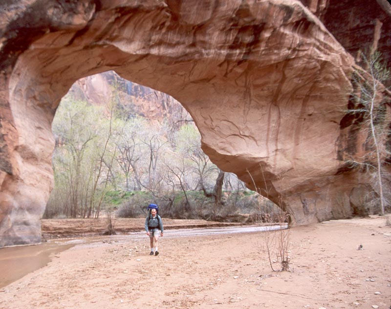
We find the slabs and belay ourselves down. From the bottom we walk up canyon to look at Jacob Hamblin arch and the route down it. 3 years ago we had a difficult descent in the rain. This time we fully plan to AVOID JH, enter Coyote Gulch by an interesting slot canyon and hike the upper portion at the end of our trip.
|
|
|
|
|
|
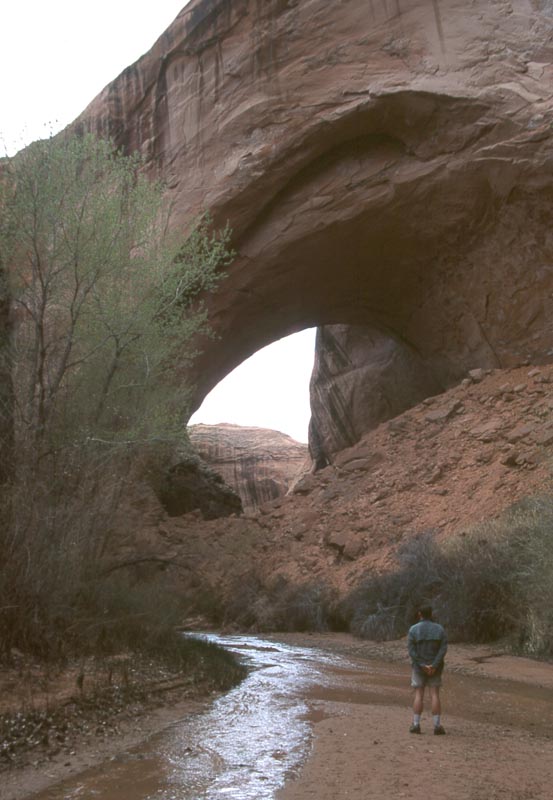
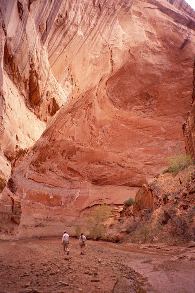
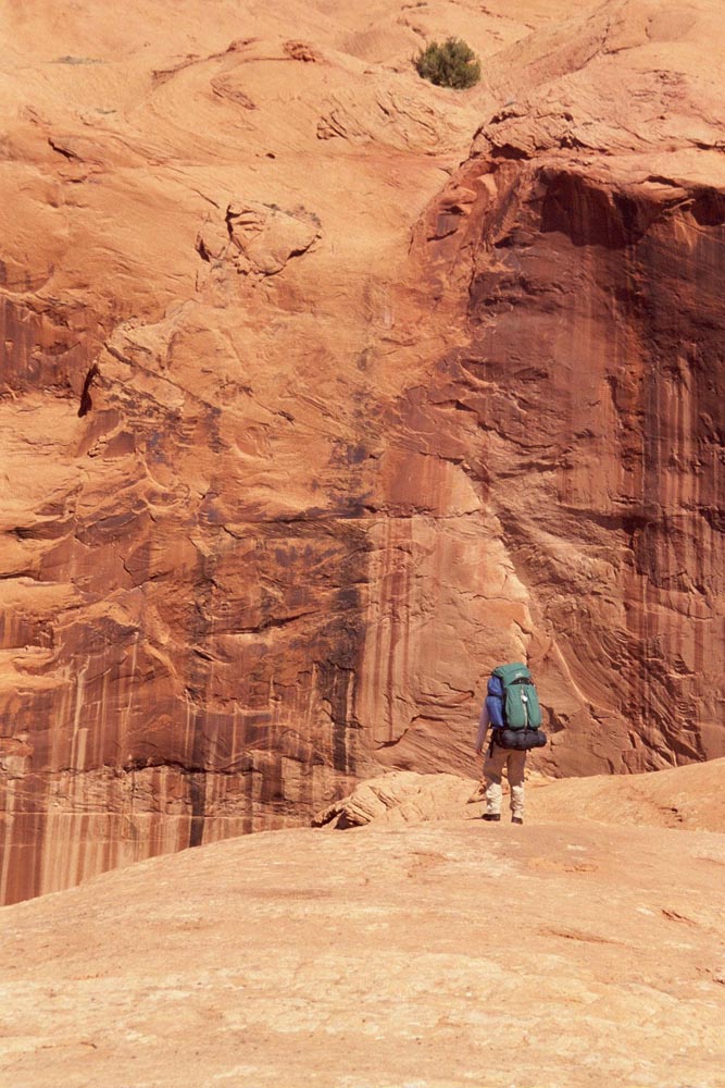
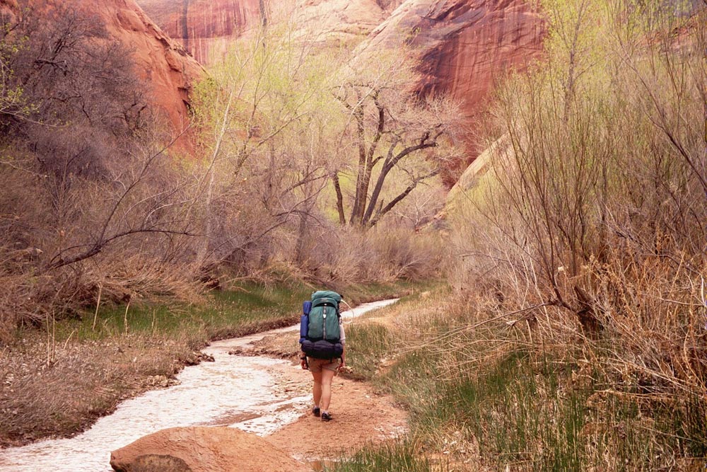
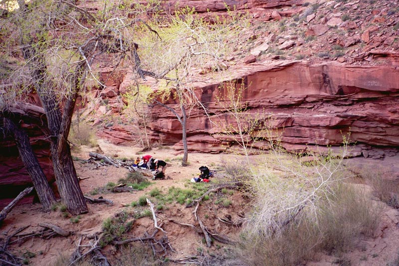
From there we turned down canyon and started hiking. It was very beautiful. There is a clear flowing stream with easy walking in the stream or trails on one side or the other. (Of course, I didn't want to think about what was in the stream.) To either side are towering cliffs. I was not expecting Coyote Natural bridge when we came upon it and was delighted. |
|
|
|
|
|
|
I thought we would make it down to the confluence in the first day. We didn't. Coyote Gulch meanders much more than I expected. Well, I'm sure that we can catch up tomorrow...