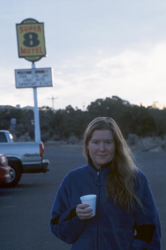
Day 8, 3/29/01
Into Ichabod, across the Escalante, up the Bobway.
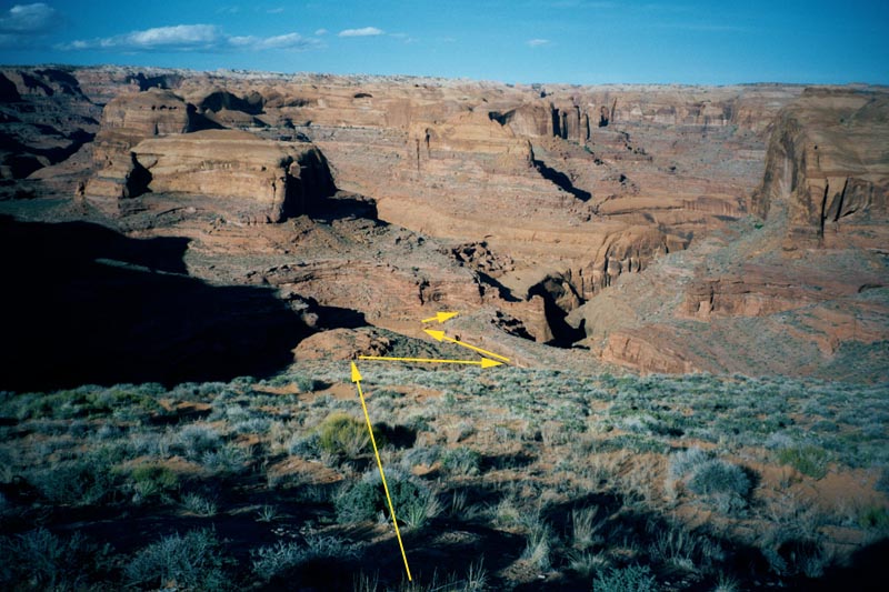
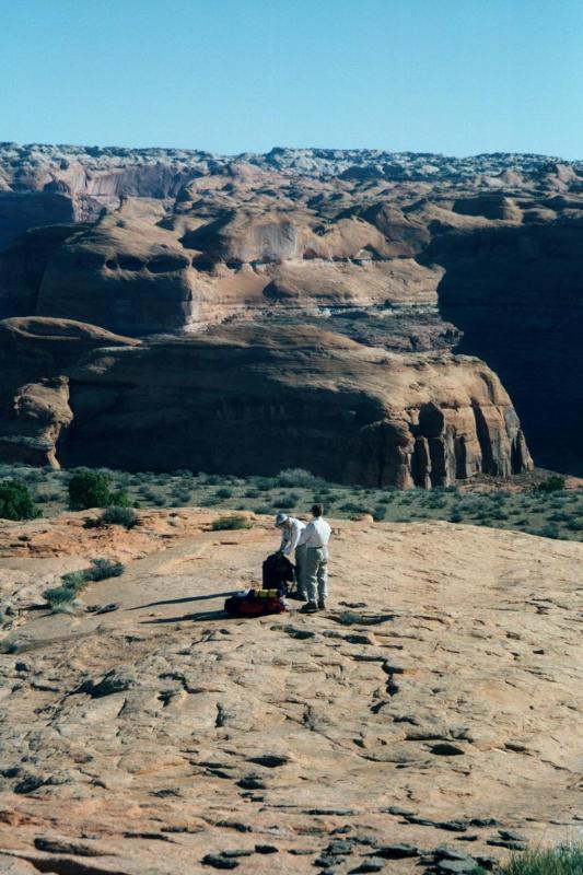
In the morning we can see across the Escalante to where we'll camp this evening. The challenge is getting to there. First thing is to find a route into Ichabod. We pack camp and start looking.
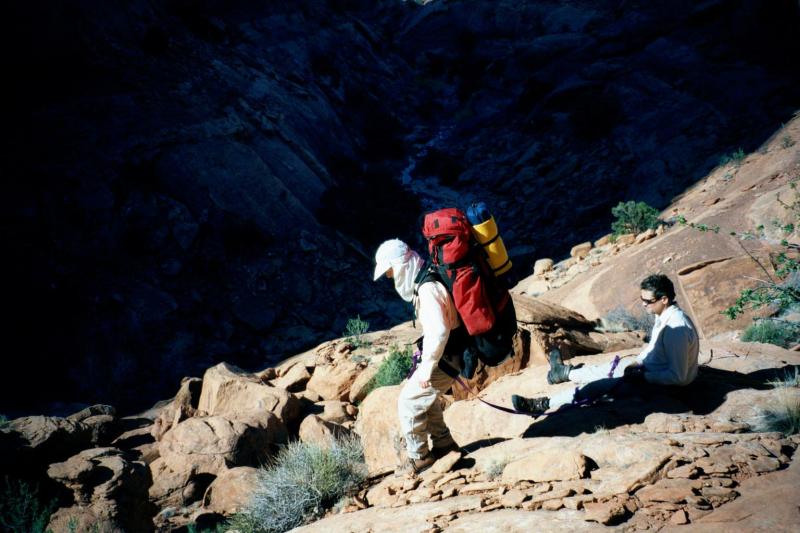
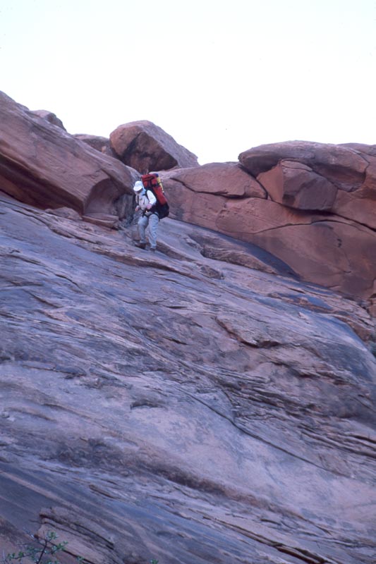
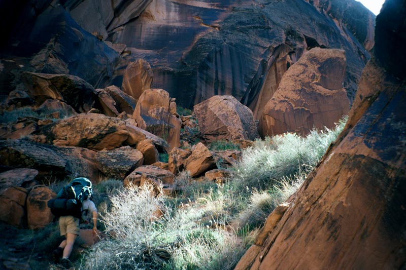
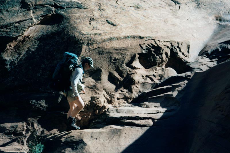
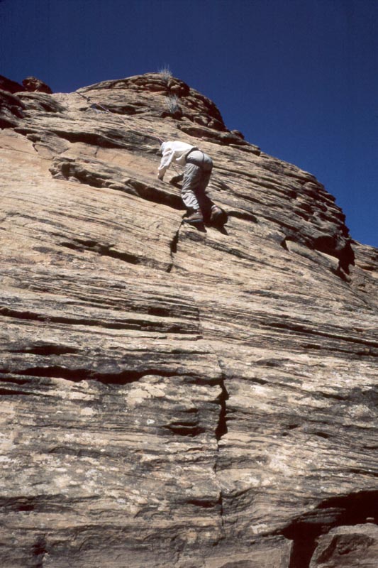
The guide book says that there is a 5.8 route out which we can rappel down. We drop first into a small side canyon. From the mouth of that we follow a ledge up canyon for a hundred feet or so. From here we can walk down 4th class slabs into the canyon bottom.
|
|
|
|
|
|
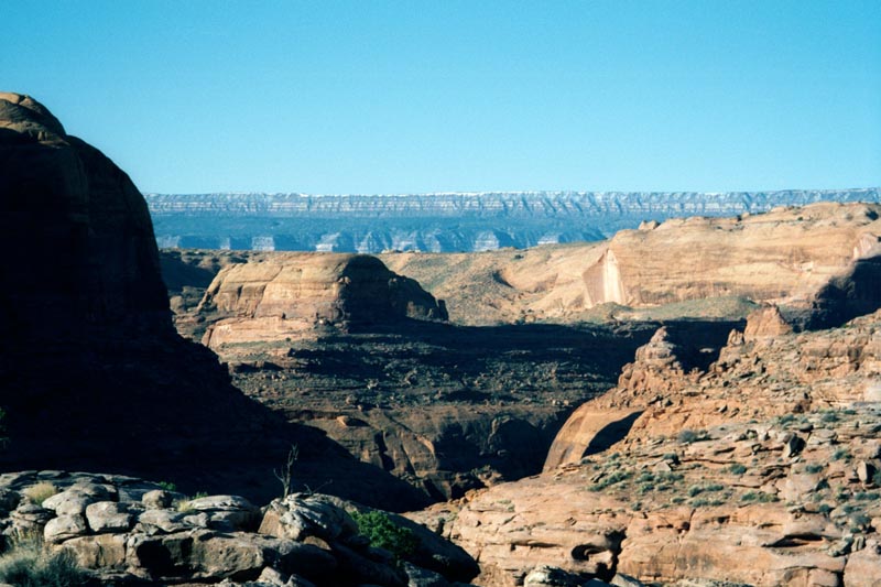
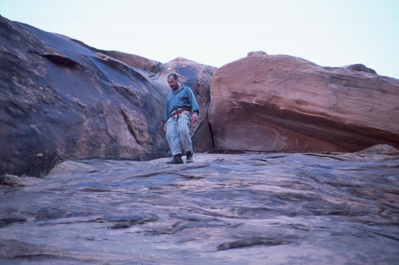
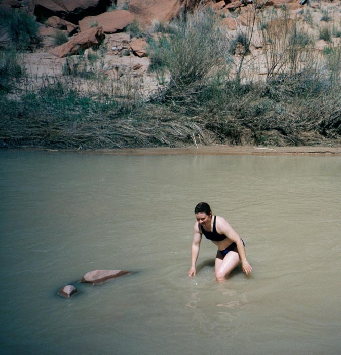
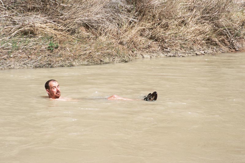
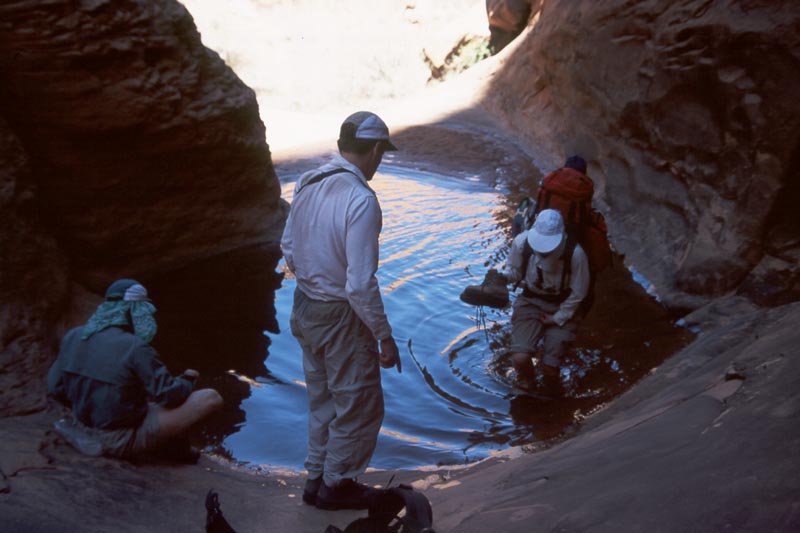
From there we walk the canyon bottom out to the Escalante. As we approach the mouth the canyon bottom becomes choked with large boulders. We contour up the left side to the base of some cliffs, round the corner to the Escalante proper, and descend directly to it. The river is an easy wade. It is hot down in the canyon and we enjoy the coolness of the river. |
|
|
|
|
|
|
|
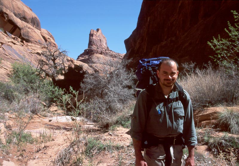
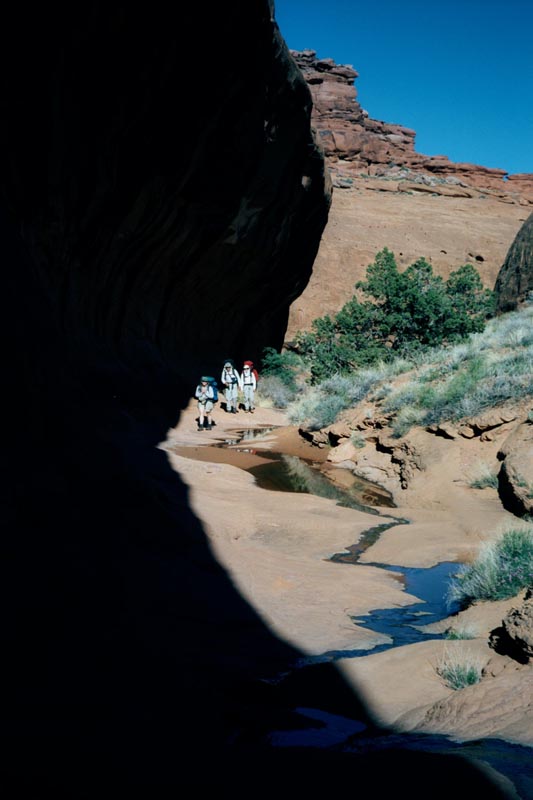
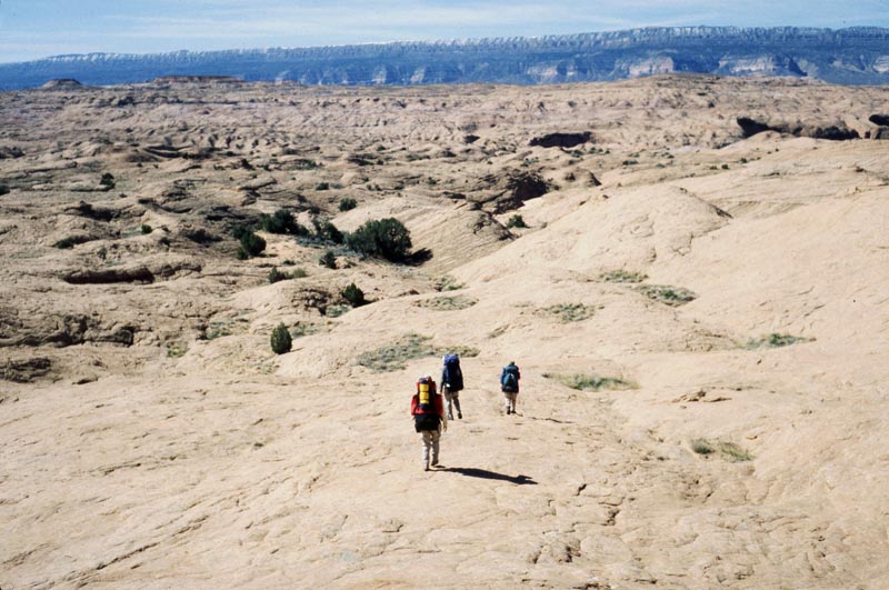
From there we follow a rough trail along the right bank of the Escalante until we reach the Bobway. This is a short canyon used by a rancher named Bob to run cattle in and out of the Escalante, thus the name "Bobway".
We know that there will be no water at our camp tonight. We would rather not take water from the Escalante itself but are unsure about finding water in the Bobway. Steve goes up to look while I go down to the Escalante to fill our water sacks. By the time I'm done Steve is back and reports a large pool not too far up. I dump out the water.
|
|
|
|
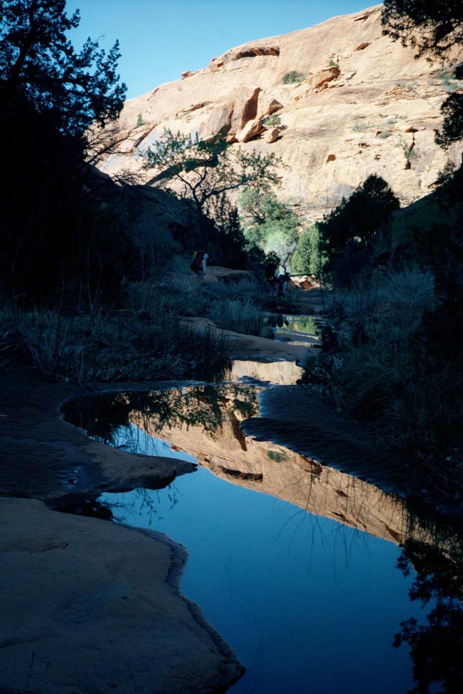
I friction around the pool. Marie and Gina walk through and report that it is amazingly cold. We fill all our water bags from this clear water.
|
|
|
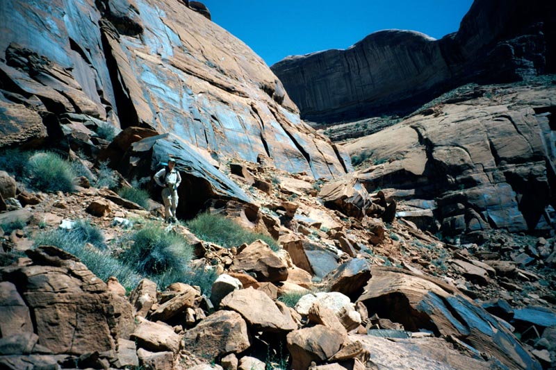
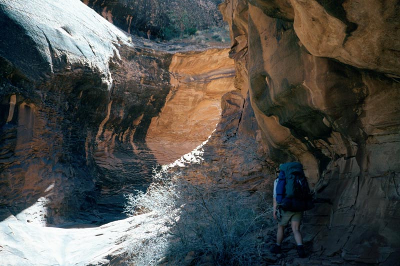
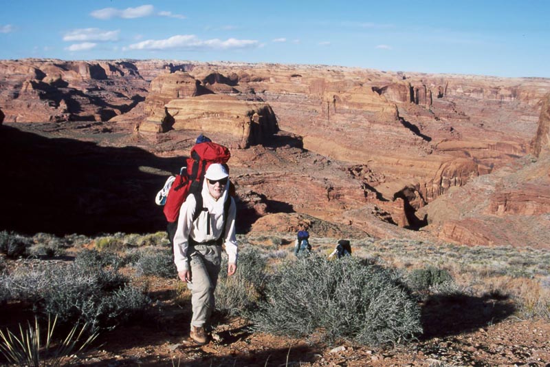
The Bobway is quite beautiful. The lower part is cut through the Wingate and is lined with exposed sandstone. There is a clear flowing stream here, which makes the fact that we are carrying several gallons of water each ironic. You just never know. The middle opens up and offers several branches. We take the second left and follow a vegetated stream bed a ways then turn and head up a sandy slope. The sand makes for slow going. Eventually we reach the rim.
|
|
|
|
|
|
|
|
|
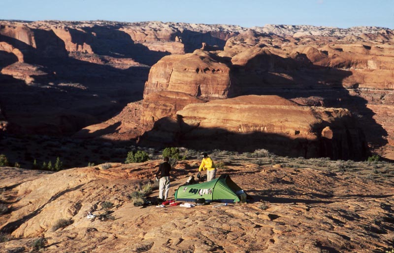
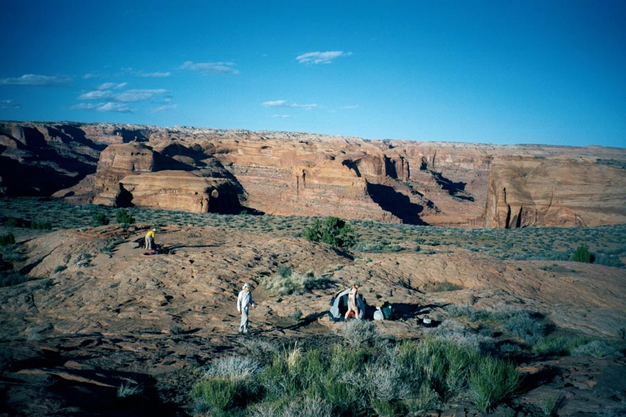
We cook on the top of a small hump from which we have vast views in all directions.
That night Marie goes out too pee then comes back and wakes me to say that the northern lights are out. I am warm and comfortable and think "this better be good." It's spectacular. The lights are filling the northern sky and showing colors of red to green. We wake Steve and Gina. Back in town the next day we see an article in the paper calling this the best display for 10 years.
Day 9, 3/30/01
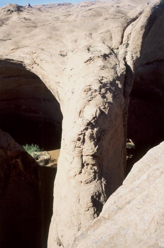
Down Jacob-Hamblin Arch and back up the slabs.
|
|
|
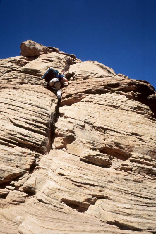
We pack and head toward Coyote Gulch and Jacob-Hamblin Arch. This part of the terrain is the top of Navajo domes. At first going is easy. As we approach Coyote gulch the gullies are cut deeper around the domes making route finding more difficult. We arrive down canyon from the arch and pick our way over steep domes to the spine of the arch.
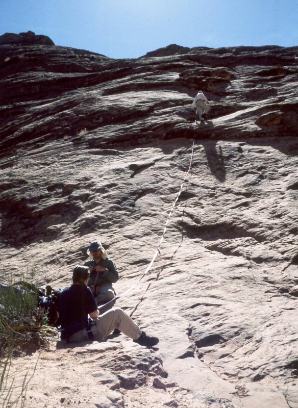
There are two pitches to get down. We use the same technique as last time. The last person down must do the pitch belayed. To practice and so they don't have to wear their pack while unbelayed they first take there pack down on belay then climb back up. When every one else has been belayed down they toss the rope down and climb down. Since I've done all these pitches before I am to climb down last on both.
|
|
|
|
|
|
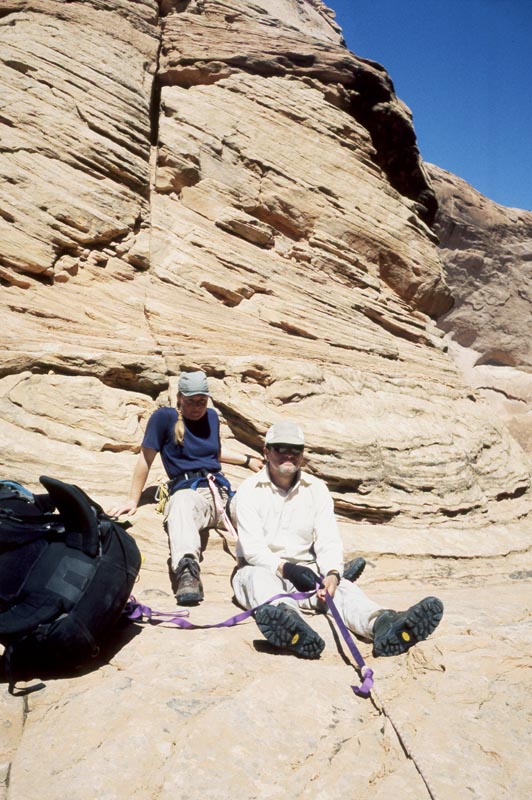
From there we walk around the corner to the slabs. Steve leads this pitch up then belays the rest of us. We hike back to the car, passing the small mesa to the west this time.
|
|
|
|
|
|
|
|
|