For a change of pace, Andrew and I decided to go to the Montana extension of the Sierras, a small mountain range north east of Yellowstone National Park. I had seen photos and thought they might be nice hiking.
Travel
Against principle, we drove. It is a long drive.
Day1: Red Lodge, Curl Lake, Sodalite Creek
Red Lodge is a fine town. We got breakfast at the cafe and maps and good advice on routes and weather at the local outdoor store.
The locals are proud that this is bear country. They have put up all sorts of signs to that effect: "Bear Country", "Griz This", "Griz That". To a couple of hikers used to the docile black bears of the Cascades this just jangled our nerves.
The road from Red Lodge crosses a high pass. "Zen and the Art of Motorcycle Maintenance" called it the highest paved road in the country. The whole drive into Yellowstone is very beautiful.
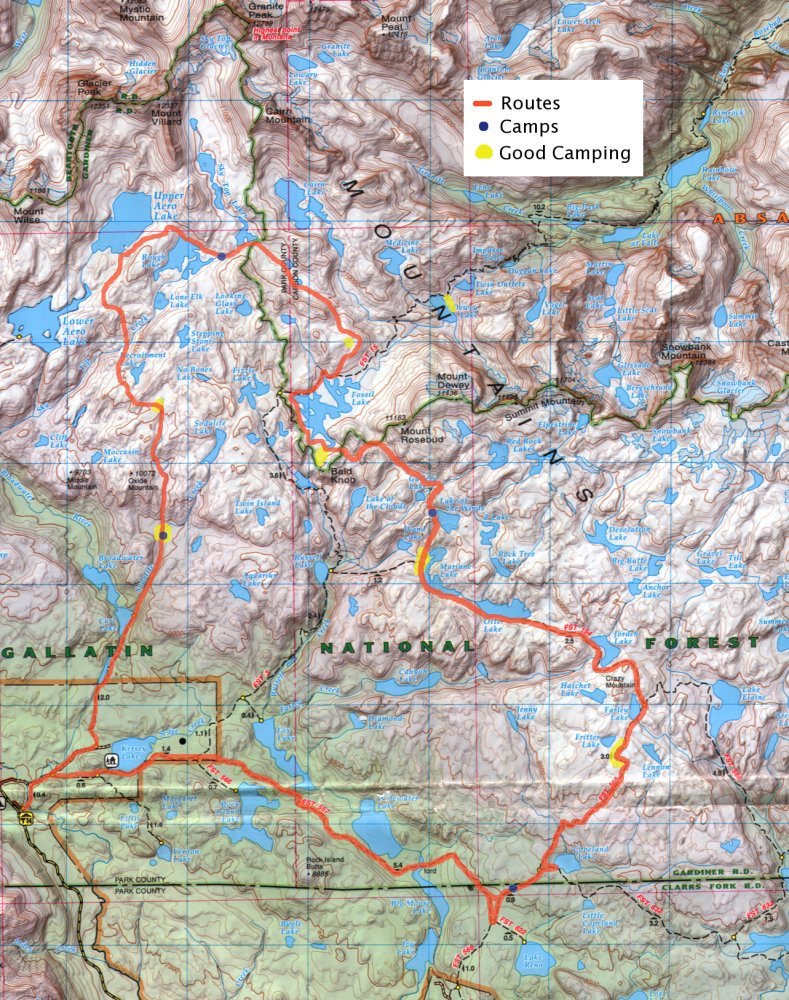
The ranger station where we got permitted confirmed the bad news for us: storm expected in three days. This weather report forced our route. Ideally we would have started a loop at the lower lakes (9,500ft!) and worked slowly up hill, giving ourselves time to adjust. But it looked all to likely that by the time we got into the high country snow would move in and shut it down. So we planned a route that took us directly into the high alpine of the Beartooth. We would start from the Kersey Lake trail head, head north into the high country,wonder south east along the crest, then loop back when forced.
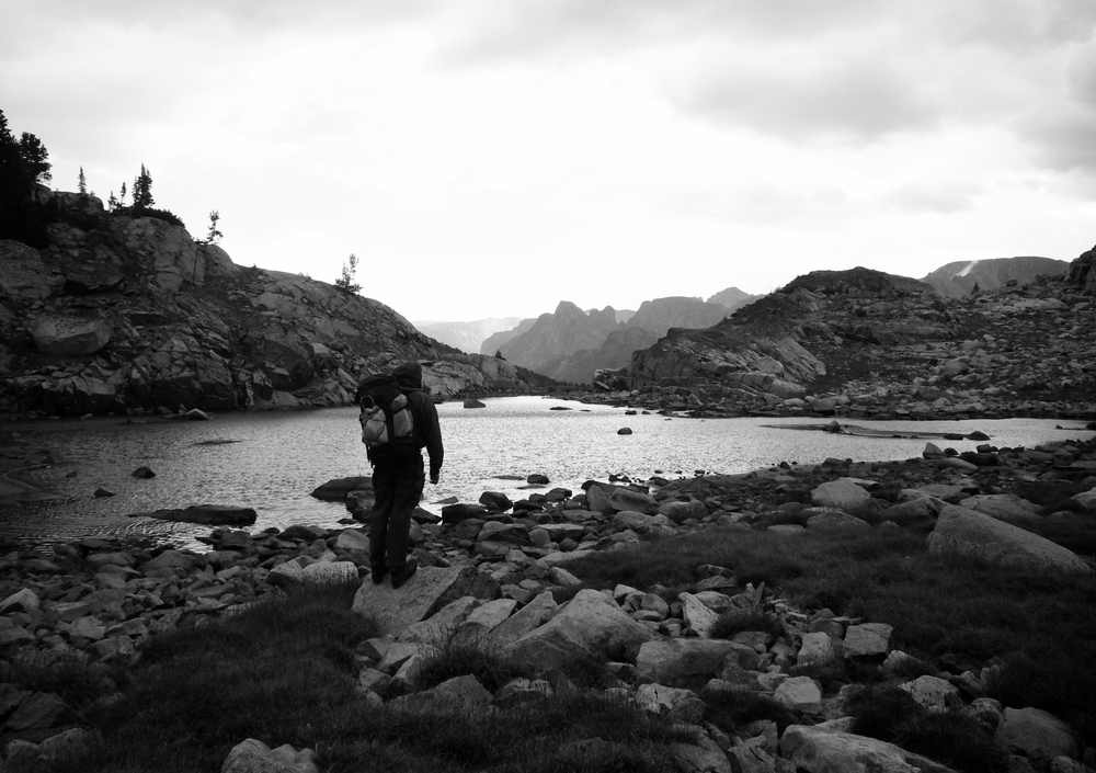
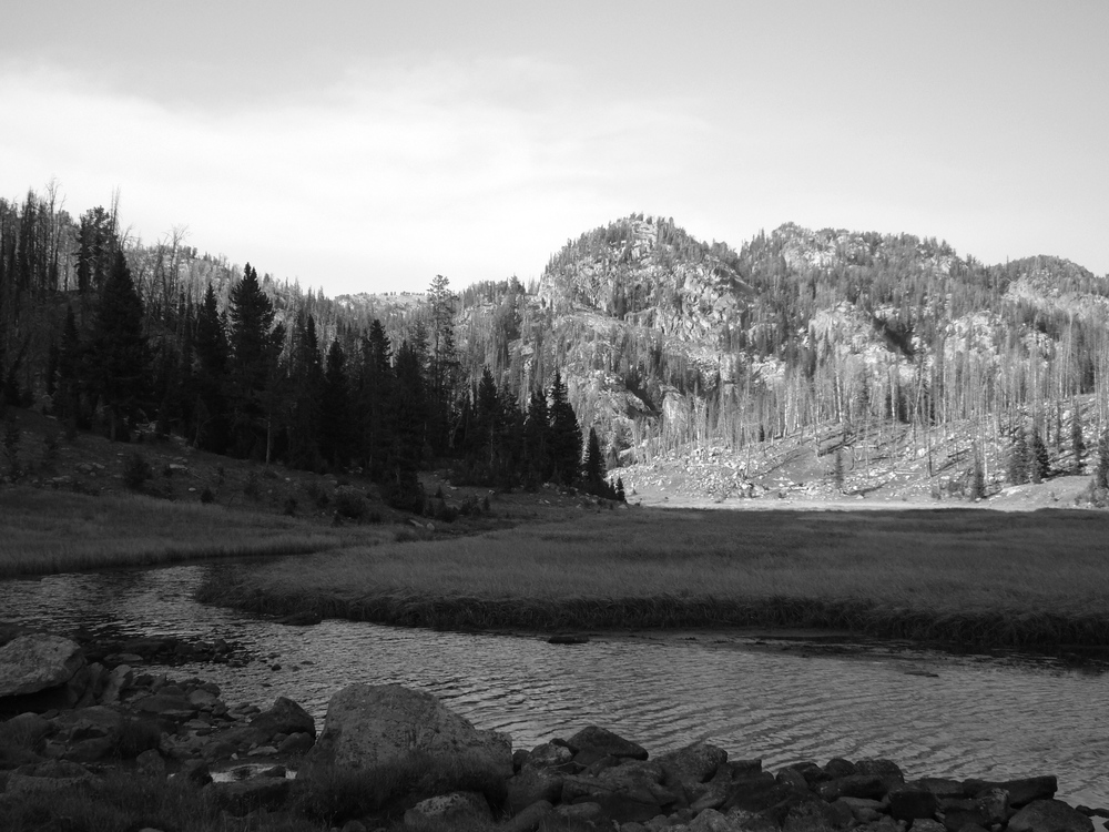
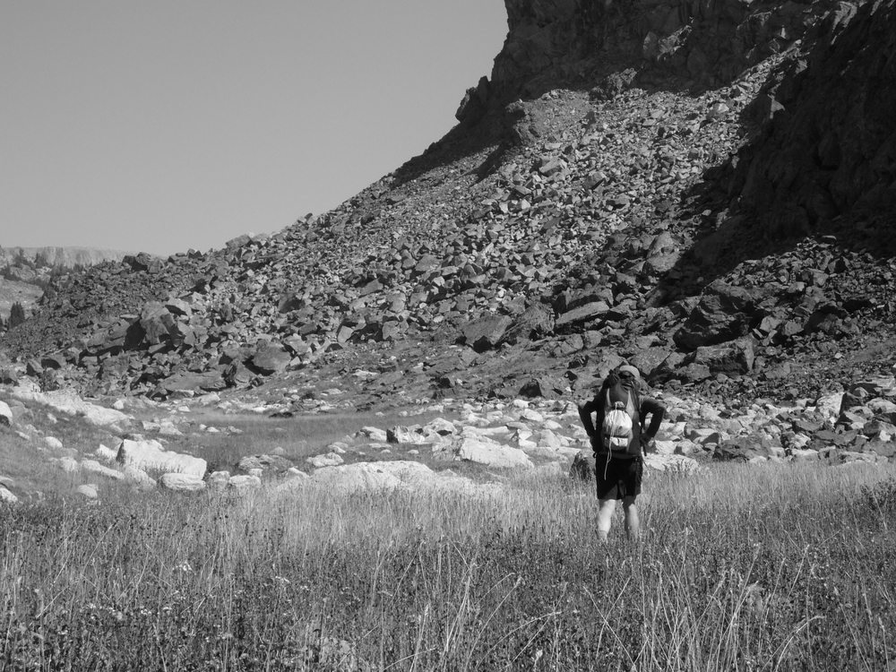
The forest along the Broadwater River burnt a couple years ago so it was not until we left the trail at Curl Lake that the country got beautiful. We camped on a rock ridge amidst some meadows on Sodalite Creek.
|
|
|
|
|
|
|
|
Day 2: Surprise, Recromitment, Aero, and Rough Lakes.
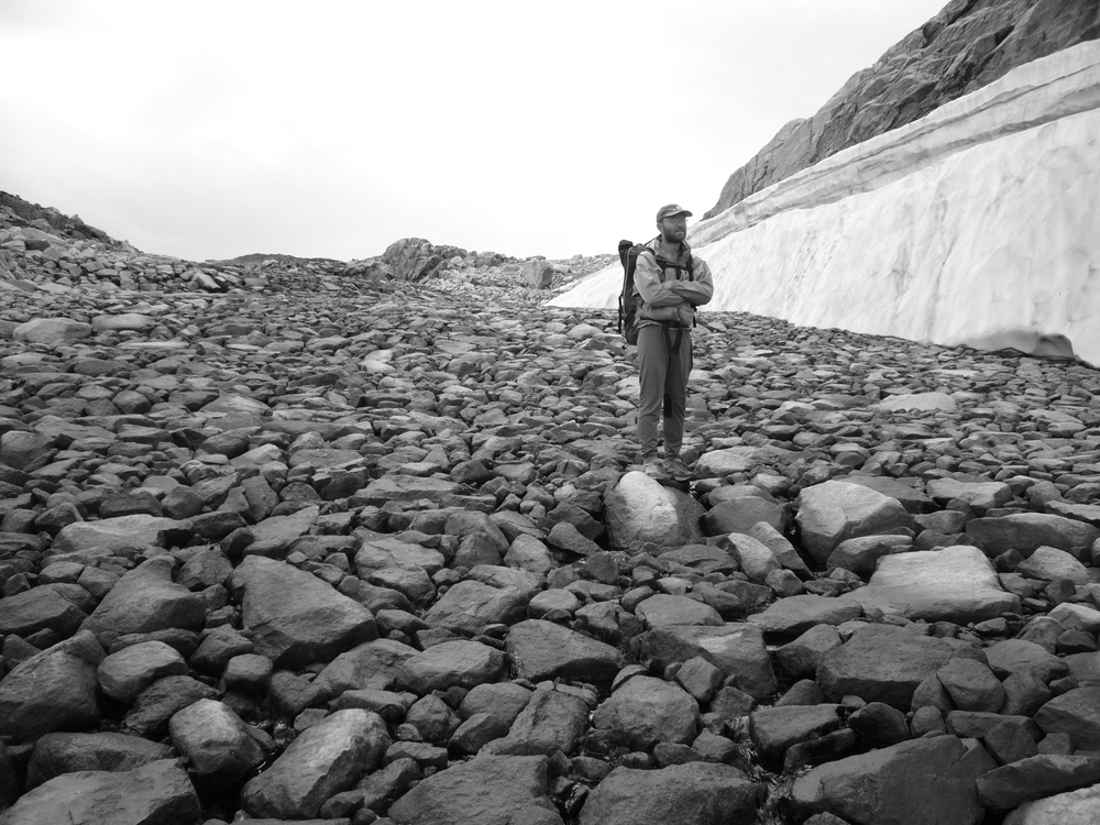
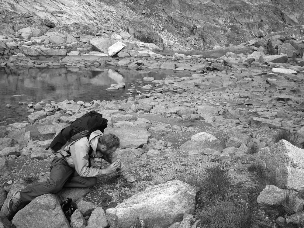
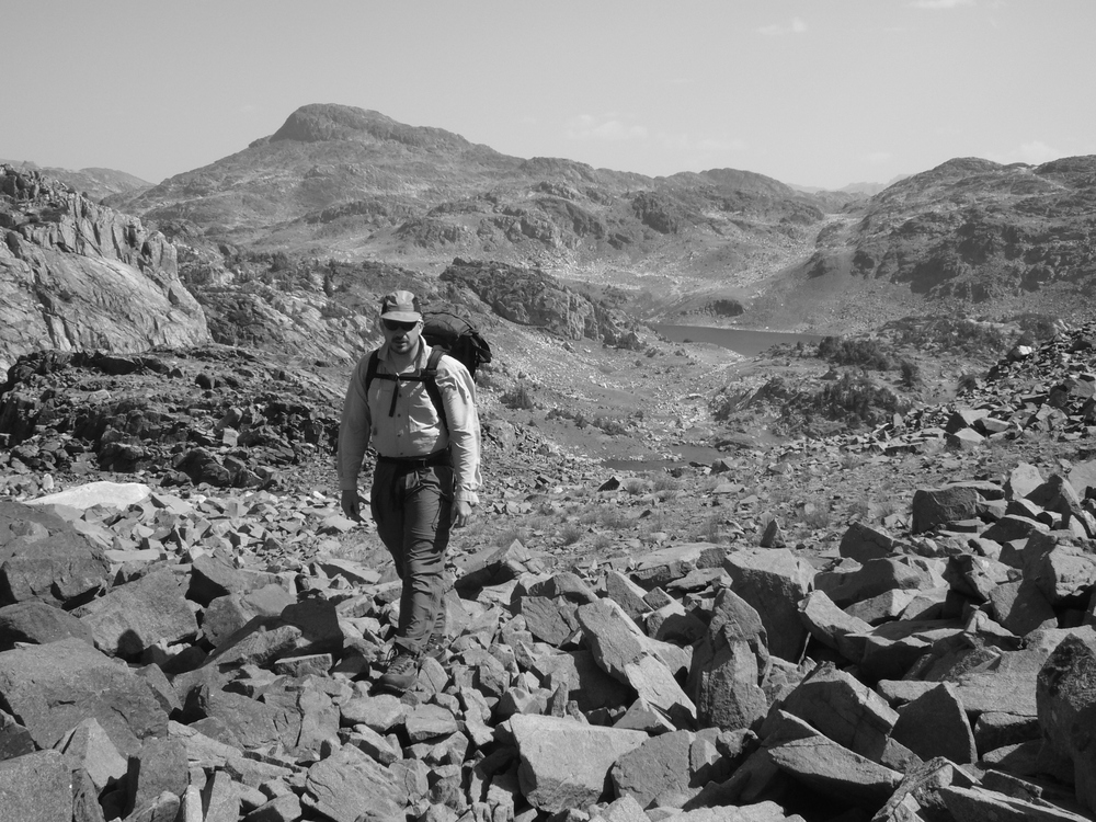
We then ascend to Surprise lake and take a short swim. From there we traverse some beautiful high country over to Aero Lakes. We are now well above 10,000 ft and I'm feeling it. Andrew scrambles a small peak while I rest. We descend and camp at the inlet to Rough Lake.
|
|
|
|
|
|
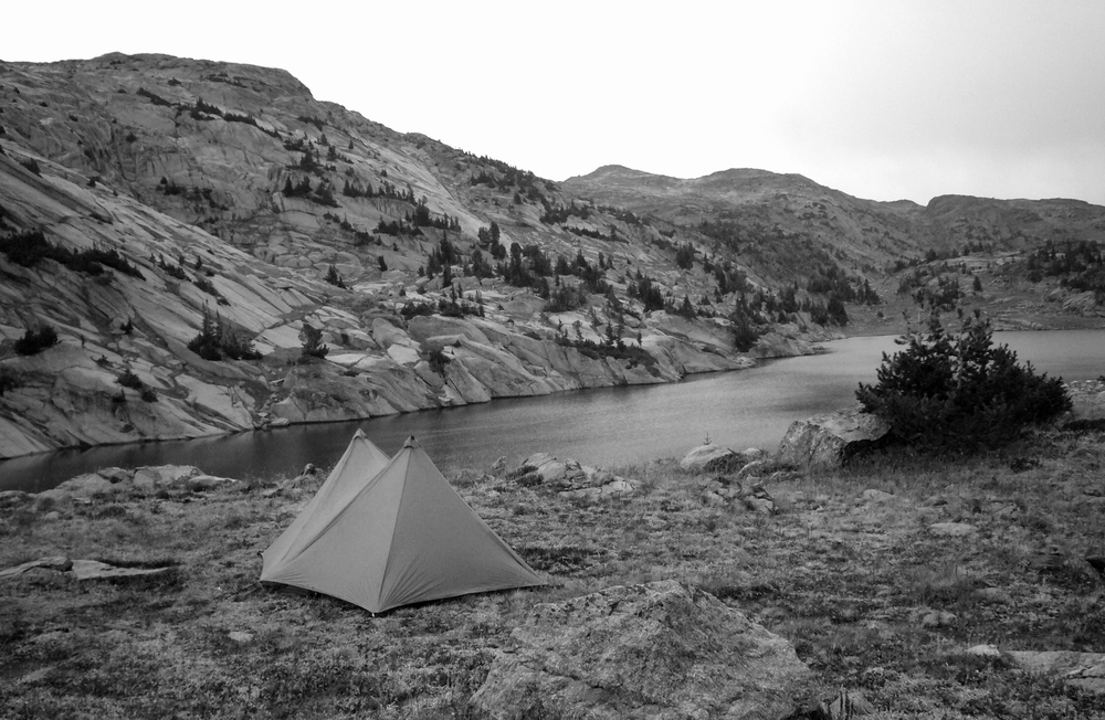
There are some clouds moving in so we set up the Beta Mid, a light weight tarp shelter. In the middle of the night I'm woken by what looks like a huge, white grizzly walking past the front of our open door, not 20 ft from my head. ...oh mother... Oh, it's a goat. A big goat, but just a goat. It passes us several times.
Day 3: Sky Top Lake, Fossil Lake, and Lake of the Winds
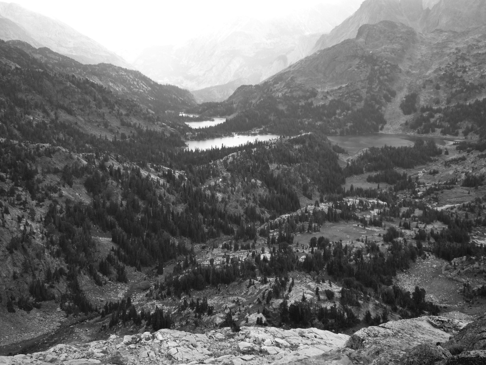
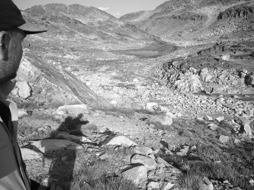
We ascend a narrow creek to Sky Top Lake then cross a low pass to a chain of unnamed lakes. This leads to a high bench above East Rosebud Creek. A trail descends this creek and the main guide recommends the hike across the divide on this trail as the gem of the Beartooth. Looking down at the lakes and valley below us I would agree. Dewey and Twin Outlets are at the right altitude for a pleasing mix of trees and meadows. Intimate spaces and big views. The high country we are traveling through is all rock, water, and scrub. I'm always drawn to the high alpine, but have found the low alpine, right on the border, to be the most pleasing hiking. Hope the weather holds for us to loop through some of that terrain here.
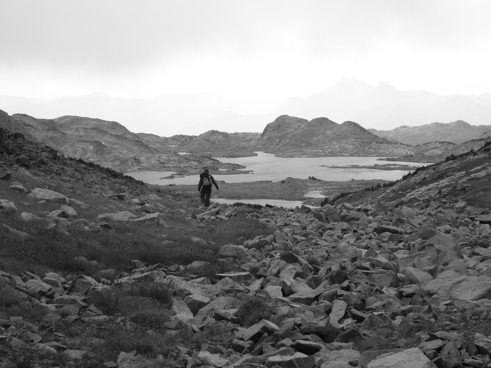
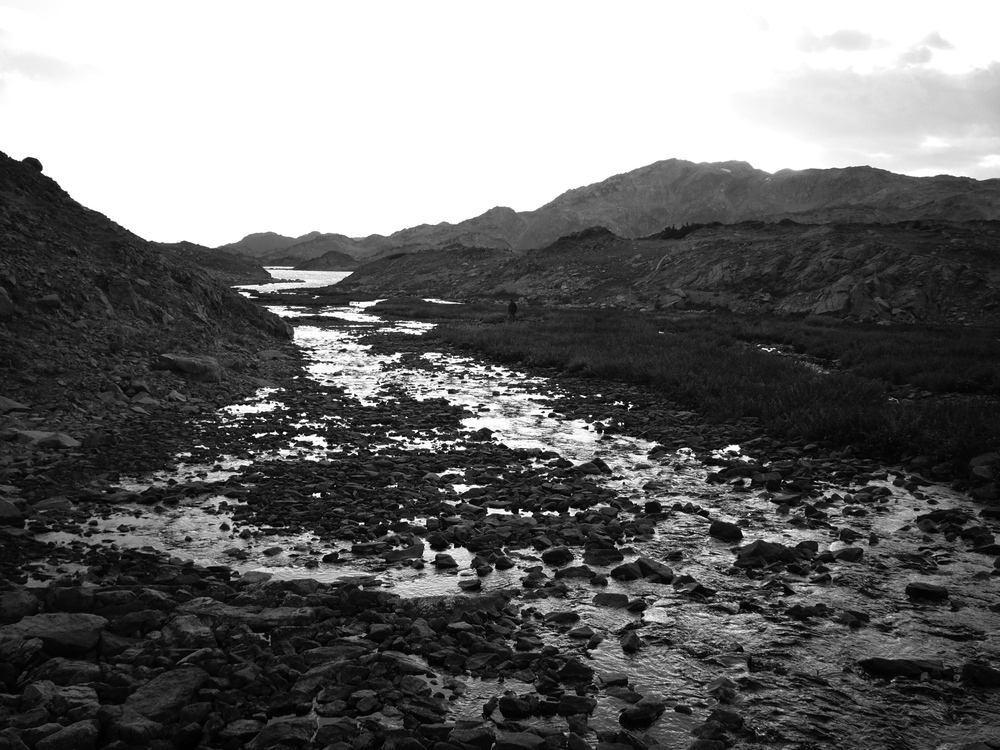
But the weather does not hold. By afternoon there are intermittent drizzles. We descend to Fossil lake, circle around the south end (good camping here) and cross out of a pass that takes us above Gallery lake then Lake of the Winds. At the pass we see several wolf foot prints. We think wolf. Rather far off trail for dogs.
The character of each lake is so different. Lake of the Winds fills it's basin. There is no shore line camping here. We are on a ridge well above the lake.
|
|
|
|
|
|
|
|
|