Day 4: North Fork Cherry Creek, Yellowhamer Lake
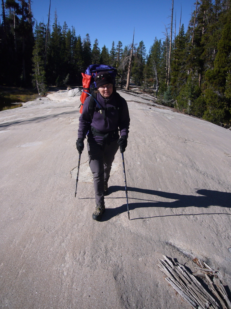
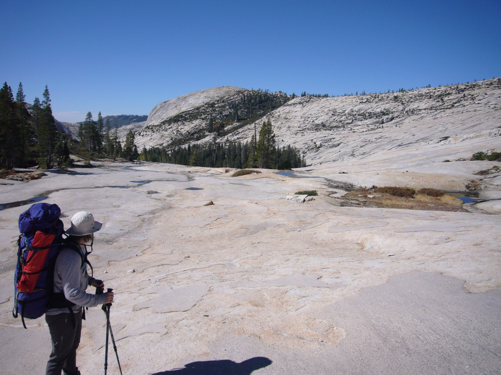
We continue through the high plateau, then cross a ridge to a basin of high, unmarked lakes, then cross again into the North fork of Cherry Creek. Down some big slabs, lunch by some pools, then back up the other side. As we pick up some cairns that mark an old trail up to the Five Acre Lake area. This eases our travel through what would have been a brushy hill side.
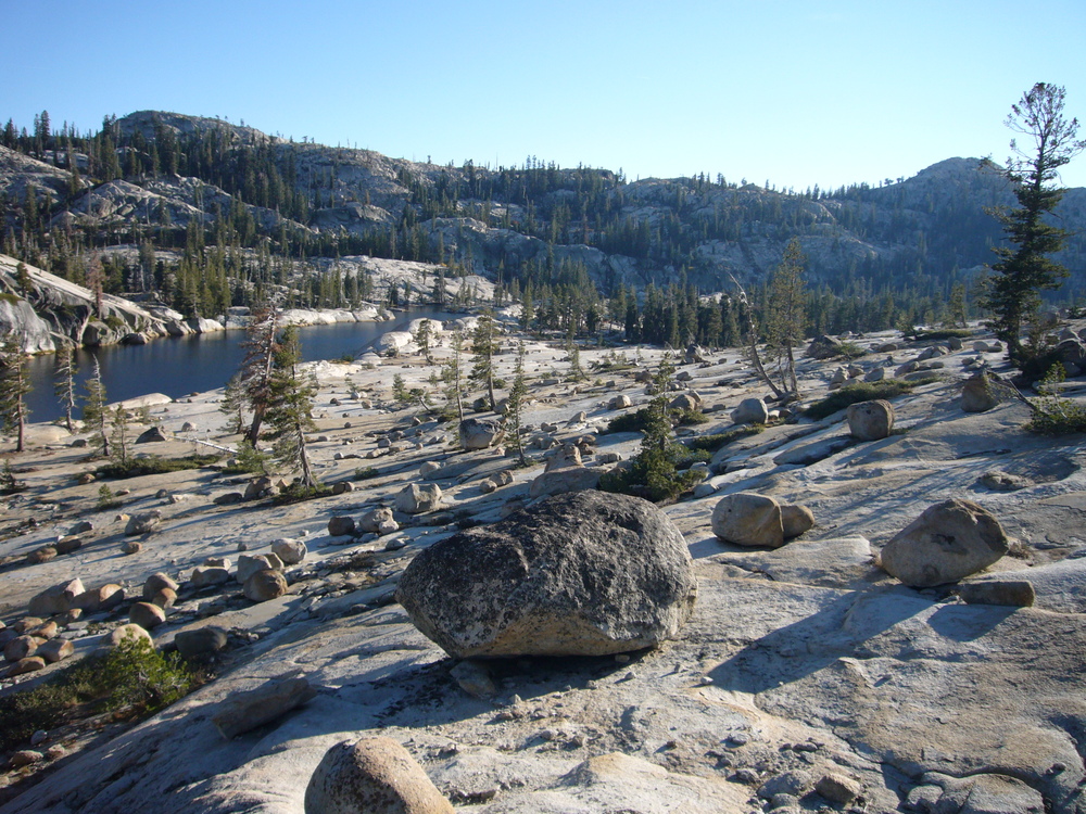
Before reaching Yellowhamer lake we come across signs of old fences. Then a beautiful large meadow, cropped short a full of horse shit. On one hand I'm taken by the beauty of the meadow and on the other I have no desire to camp here or anywhere downstream of here. Nearby there is a compound of old and buildings under restoration, all marked as National Forest Service property. I guess this is a ranger camp and the meadow where they keep their horses.
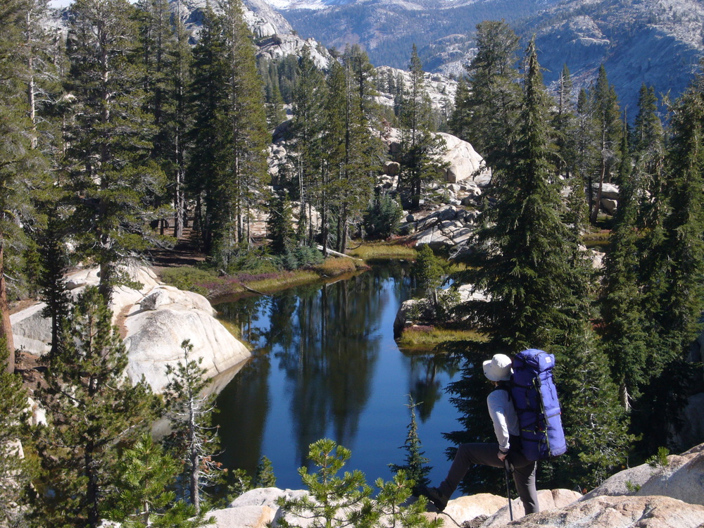
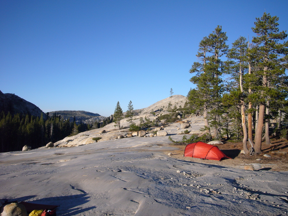
Yellowhamer lake turns out to be stunning. Despite the horse meadow above it, by the time we get to it's outlet the environment is feeling pure, once again. We camp on the ridge between Yellowhamer's stream and Big Lake.
|
|
|
|
|
|
|
|
|
|
|
|
Day 5: Down Cherry Creek Canyon
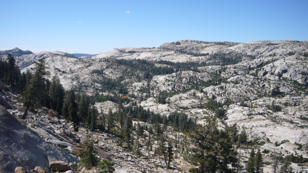
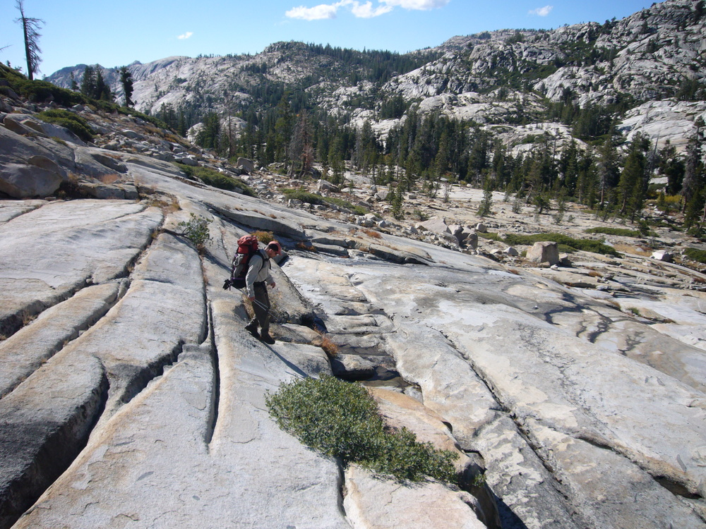
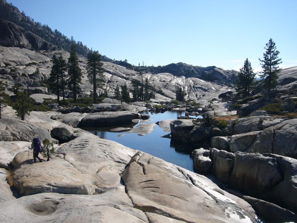
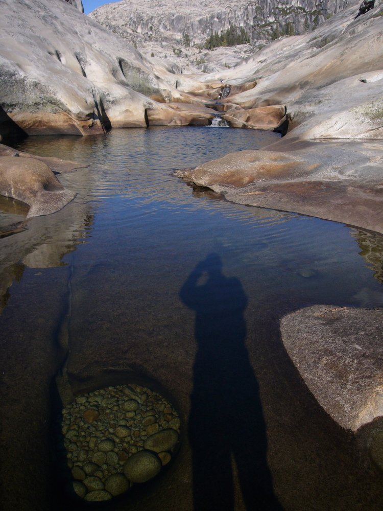
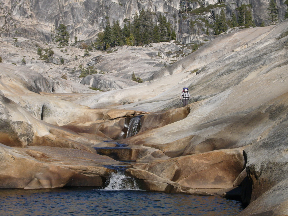
In the morning we drop into the Big Lake basin, bash our way to the trail along the north side and hike over to the outlet. The outlet creek flows through a beautiful, granite lined canyon to join Cherry Creek. The first section of Cherry Creek is a mix of pleasant hiking and bushwhacking.
|
|
|
|
|
|
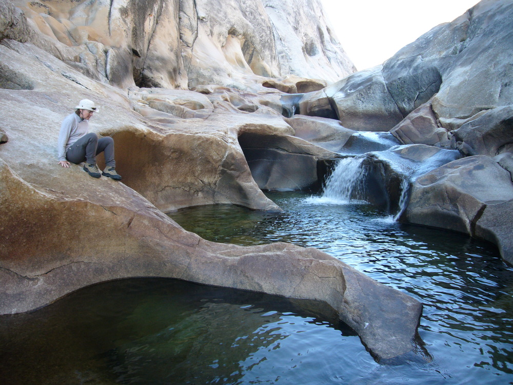
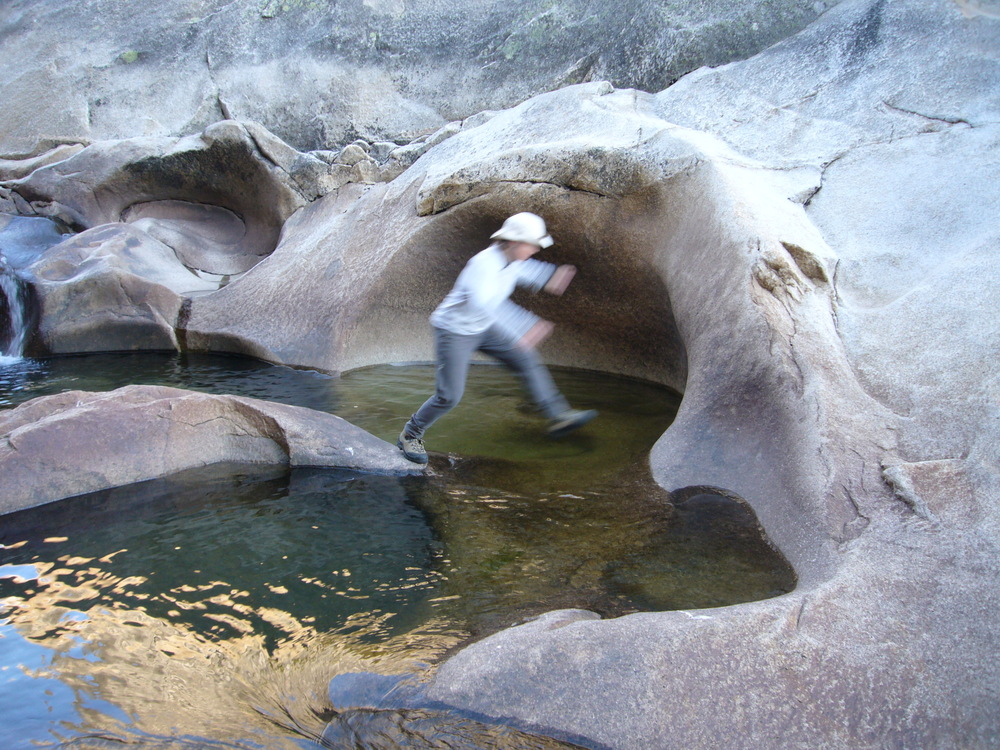
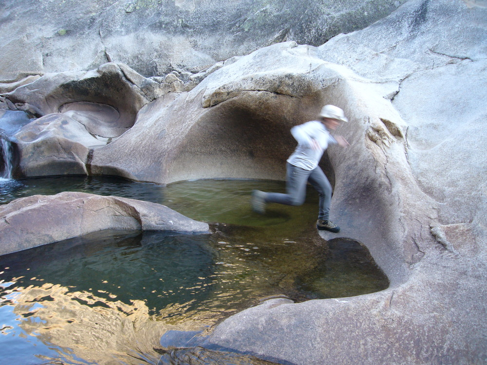
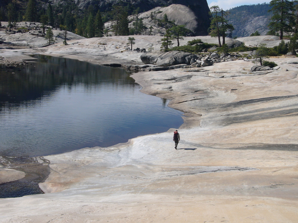
Lower down the canyon constricts into several sets of narrows. We are able to descend the first set of narrows with an interesting but fairly easy set of moves.
|
|
|
|
|
|
|
|
|
|
|
|

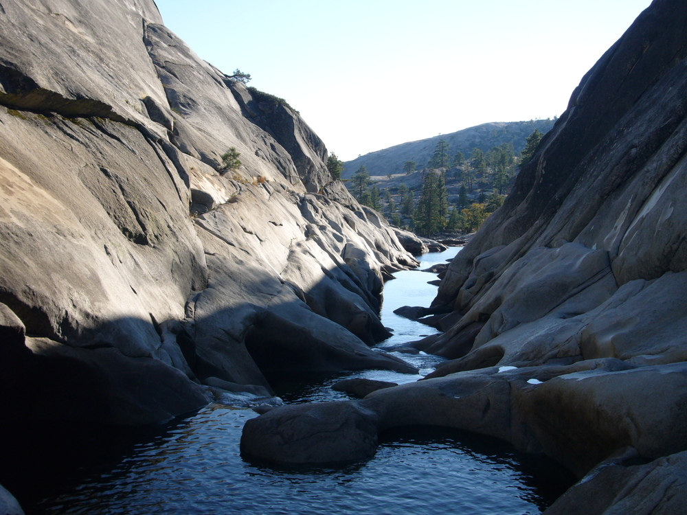
Camped right below the narrows.
Day 6: Lower Cherry Creek Canyon
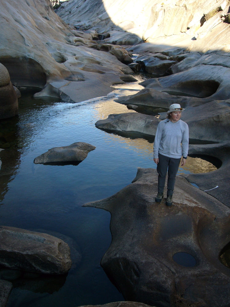
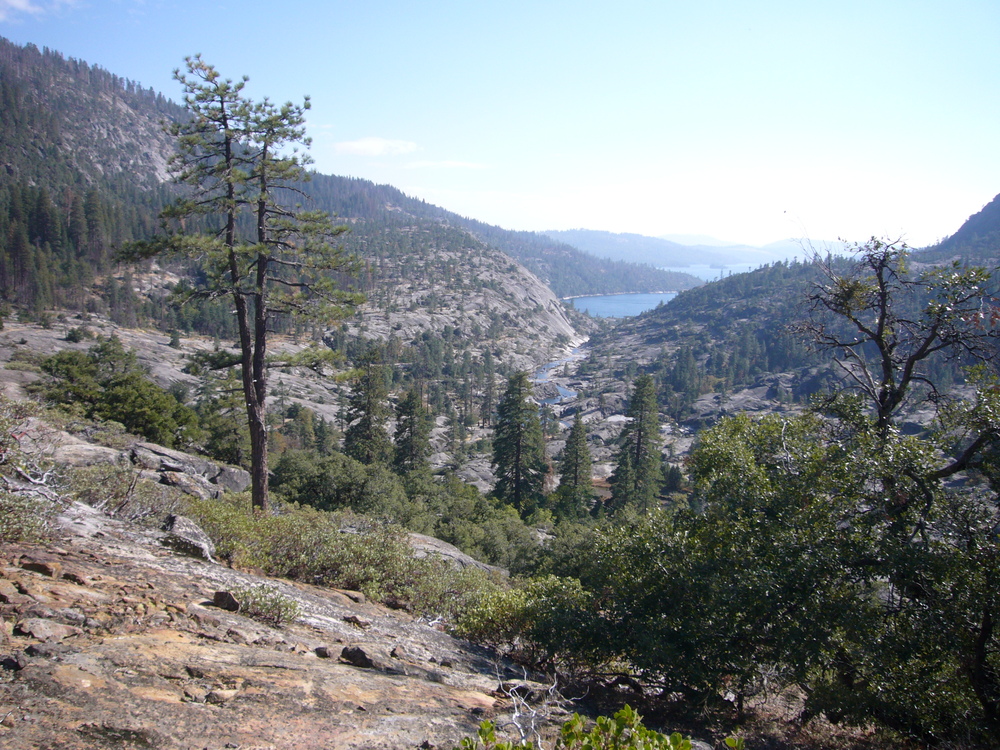
We continue down Cherry Creek Canyon. There are several more sets of narrows but would require swimming. Looks like fun, if you have a wet suit and a light weight waterproof pack. We have neither so we go around as needed. The further we get the more time we spend figuring out routes through the forest. We avoid the final narrows by traversing over a ridge. At the top we pick up a faint trail and follow that back down to the river by the head of Cherry Lake and find a nice final campsite.
|
|
|
|
|
|
Day 7: Traverse above Cherry Lake
The traverse through the hill side east of Cherry Lake is not too bad. We pick up the road at it's northern most switch back and slog it back to the car.