Day 7 - Cape Caution
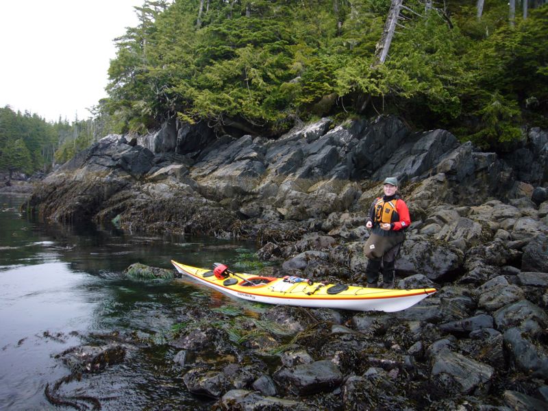
Rounding Cape Caution has been in the front of our minds through the trip. It is a long, exposed piece of paddling and we need good conditions to get around it. The forecast is good. To improve our chances of good conditions we rise early and launch by 6:30. After 30 minutes of paddling we take a short break on a rocky shore, possible the last until our camp. Or guide book shows no good landing and, in fact, warns against landing at several beaches due to reefs.
First thing we discover is that conditions are calm. Just a low 2 ft swell.
Second thing we discover is there are a lot of fishing boats out here. Several trolling around every headland. In fact, some places are down right crowded.
Third thing is that there are at least a few landings not mentioned by our guide book.
|
|
|
|
|
|
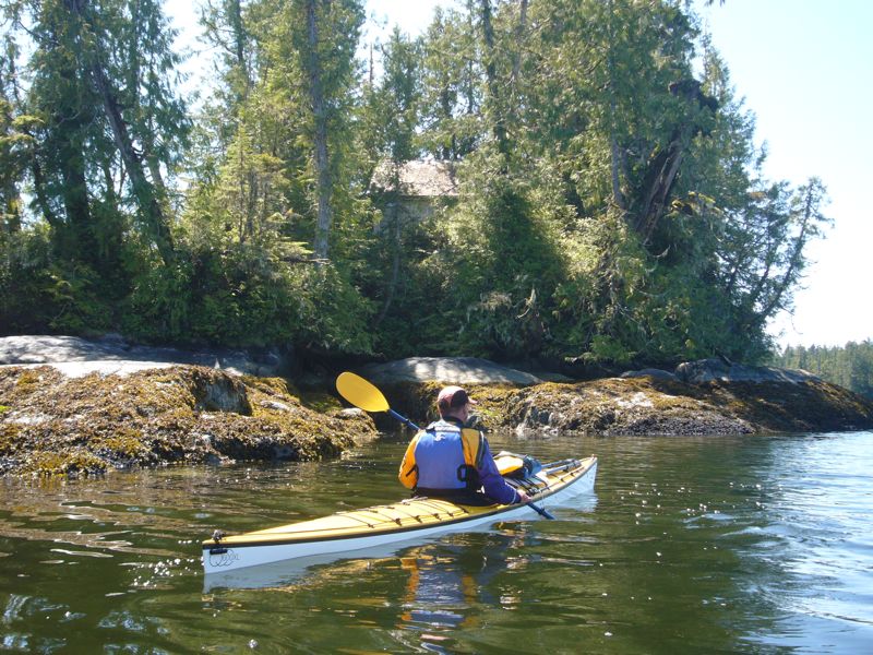
South of the cape we land at the beach in Wilkie cove. We intend to camp here, but on arrival find it does not appeal so move on to Burnett Bay.
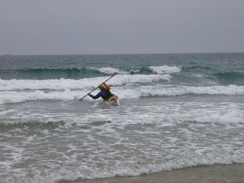
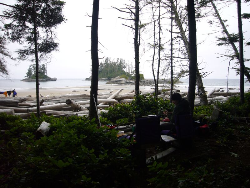
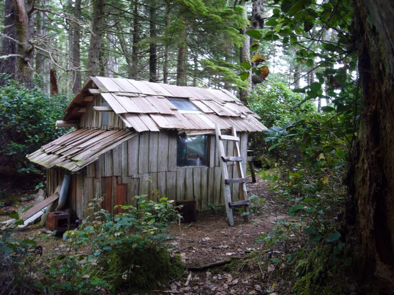
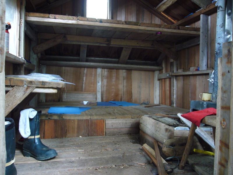
On arrival there's a 2 ft surf. I remind Marie to steer with rear rudder and, if the boat broaches, fall into the wave on a high brace. She misses the rudder and falls away from the wave and out of the boat but comes up laughing. We consider and decide to investigate the near point, just north of us. We find a nice forest camp and a small cabin behind a few too many beach logs. Our guide book cautions against camping in Burnett bay because surf may come up and pin you in the bay. A possibility, but this turns out to be one of our nicest camps and signs are that it is enjoyed by many.
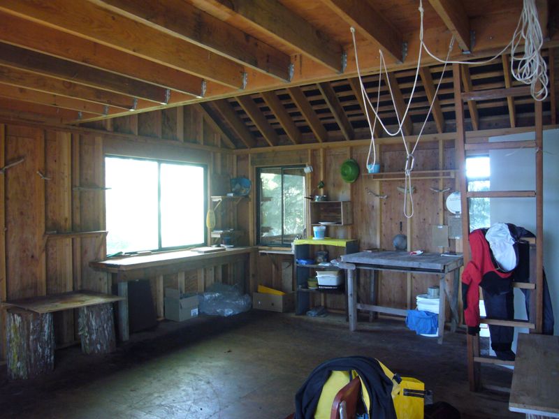
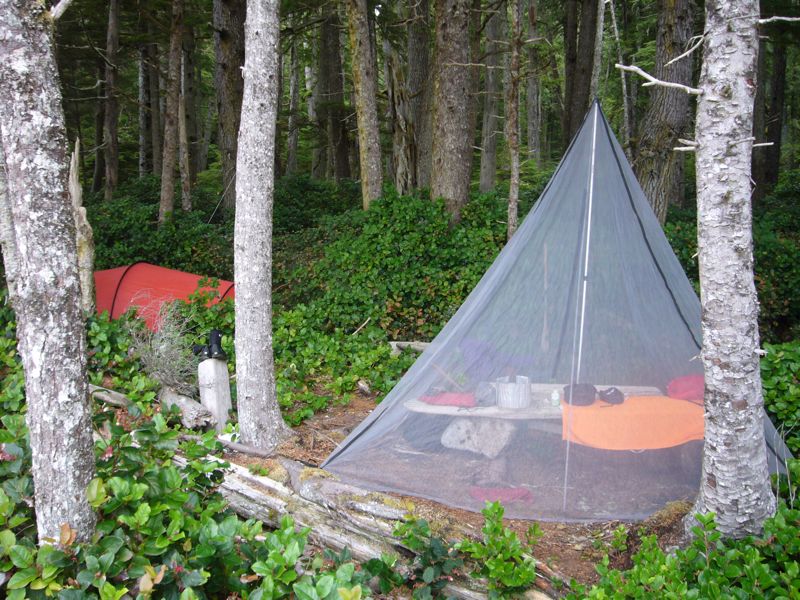
I find enough milled lumber to set up both a kitchen table and sitting bench. The cabin is charming, but like many public use cabins dirty and, as confirmed by the log book, full of mice. I suspect the mice of building and maintaining many cabins to lure travelers then raid their food supply. Wise to the ways of the rodent, we hang our food. Well, it is a nice cabin here through the kindness of several people who maintain it. If it had been raining we may not have been so mouse adverse.
Marie walks the beach while I paddle, surfing in and out. I capsize unexpectedly and am able to roll up. This is the first time I've successfully rolled up from an unexpected capsize in real conditions. And I did it on my weaker side. A small milestone.
At the south end a river flows into the bay. I paddle into and up the river. The water is clear, but even 400 ft up stream still salty. When I paddle back out the tides dropped another 6 inches.
|
|
|
|
|
|
|
|
|
I figure I paddled 20 miles today, not counting in and out of the surf.
Day 8 - Bramham Island
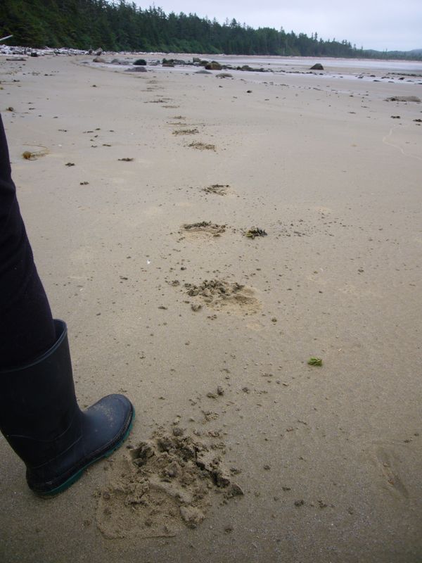
For some reason, we decide to move on. On the beach we discover large bear prints. We can see is passed us going south then coming back north. Interesting to think how we were sleeping peacefully while this bear walked past our camp. This happened all the time on the Sheenjek. Anytime we wondered out of camp we came across large, fresh bear prints.
|
|
|
|
|
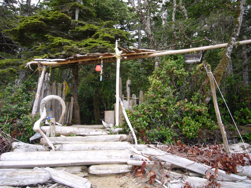
We stop again at the south end of Burnett bay where there is another camp. A fancy gateway leads to a few small tent sites hacked out of the underbrush. Well, it's an option. |
We cross the outlet of Slingsby Channel on the outflow. The wind is still calm but the swells pick up to 4-5ft. In the not too distance we hear a hump back feeding but it's difficult to see him. Then we come upon a flock of birds feeding. To our right I hear the whale again, perhaps heading toward us. We stop paddling to watch for it. It surfaces 20 ft to our left. Swirl of water, fins and barnacles, then it is gone. So are most of the birds. We paddle on.
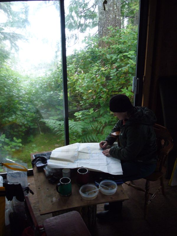
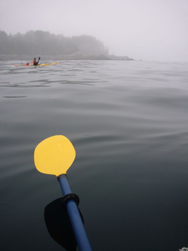
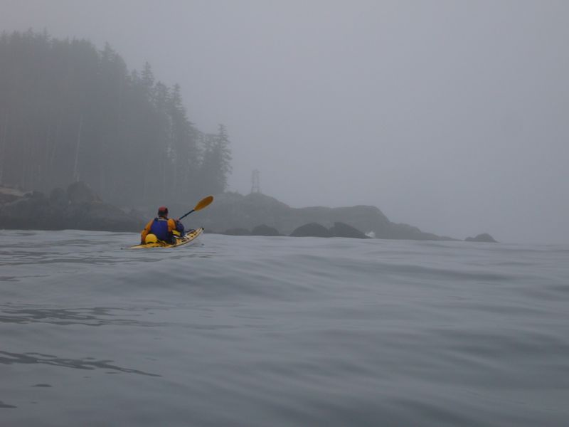
Ready for a rest day we hope to find a pleasing camp to spend it in. The guide book "reports" a marine trail camp in the large west facing inlet but we choose to not check it out, heading instead for Skull Cove which he says is "arguably the best beach in the area". The cove is beautiful but the camping dismal. The established camp is two close forest sites at the head of a small gravely beach in a cove with no views. We visit the Whale watching station they kindly offer use of one of their cabins but Marie does not want to impose. Our guide book reports a well built tidy cabin near by. We are a little skeptical but decide to look for it. The fog has rolled in, often limiting visibility to 200 ft. Marie spots the cabin. It is as described. Notes welcome us but remind us the cabin is private property and ask that we keep it clean.
We spread out into the large, clean, and dry space and have a comfortable night.
|
The cabin. |
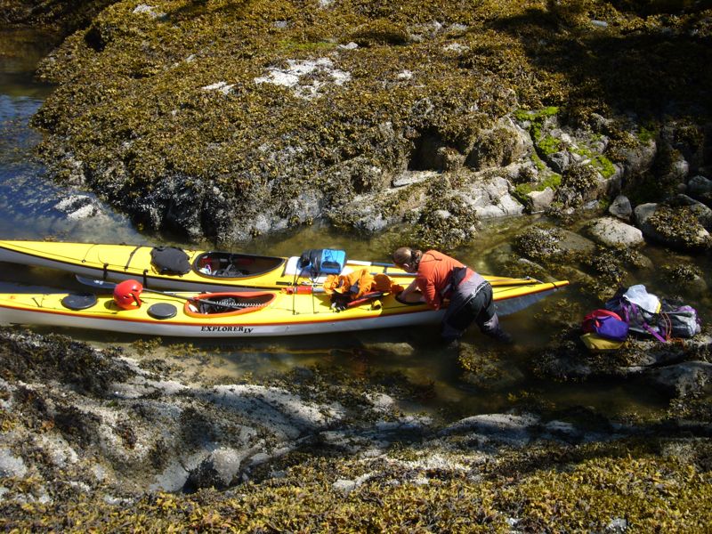
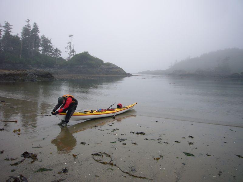
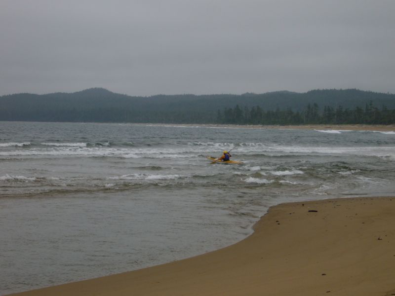
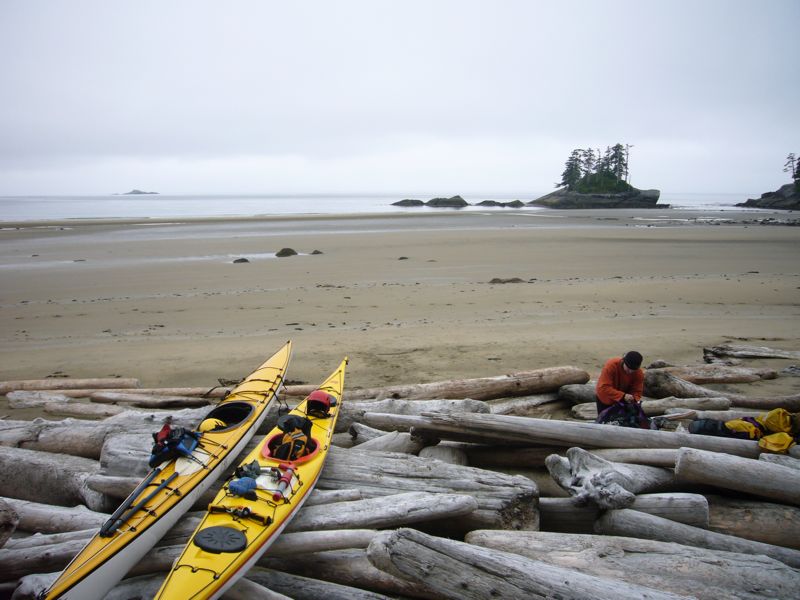
Our landing site. This is typical of having to load or unload boats in the water. |
|
|