Day 0: Drive to Port Hardy
|
|
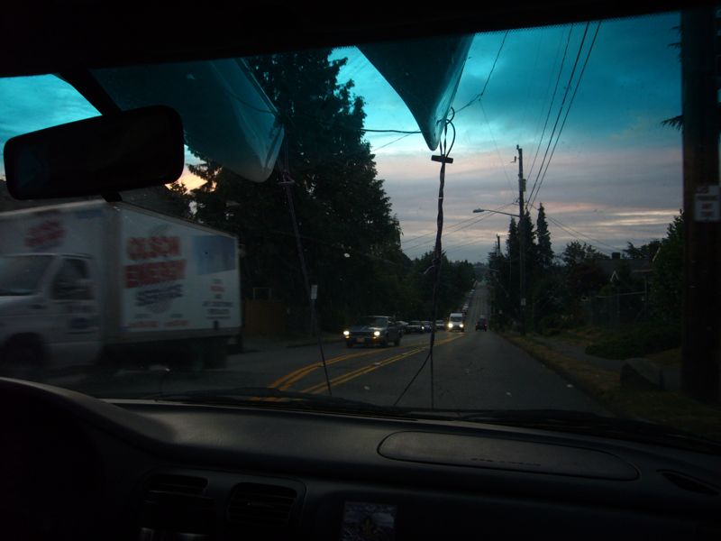
Marie and I make the trek to Port Hardy, again. We have this pretty well wired. Catch the mid morning ferry, spend an hour at the Nanaimo Aquatic Park, and drag into Port Hardy a little latter and more tired that we would wish.
We check in with Pat of Odyssey Kayak in Port Hardy. I met Pat on my first trip here when we rented a radio and boats. Since then we have not needed any service from Pat but he has been very helpful, even watching over our car for no charge. This year we'll pay him to watch our car.
Our past two kayaking trips have been to God's Pocket Marine Park, a nice but somewhat limited area. This trip is different, and more challenging. We will take the Discovery Coast Ferry to a wet launch in Kwakshua Channel (NE Calvert Island) and then paddle back to Port Hardy. This involves moving a good (for us) distance every day and paddling some exposed coast and open crossings. We have chosen a time of year with stable weather, but you never really know.
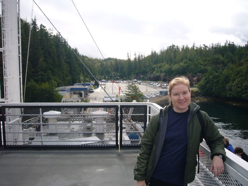
Day 1: Ferry and Drop Off
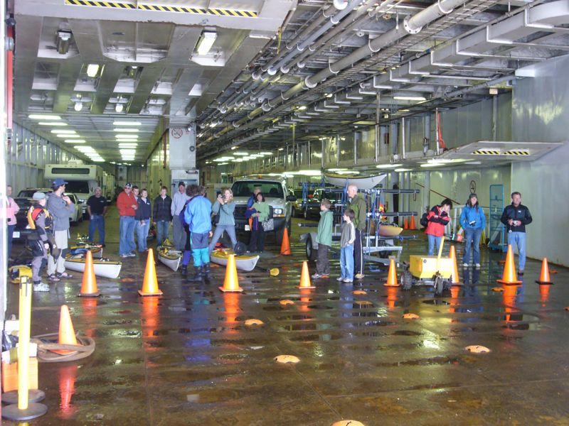
The BC Ferrie's service of wet launch and drop off is fantastic. It allows us to design interesting one way trips with out resorting to expensive water taxies. To take the ferry to it's next stop would add several days of (uninteresting) paddling while a taxi would have cost over $700. We load our kayaks onto a provided rack and Pat takes our car back for safe keeping.
|
|
|
There are relatively few passengers on the ferry. There are three kayakers from Germany, Utz and his two boys, who will be launching with us and reversing the route of my Hakai trip. Seems they have done outdoor trips for the past several summers. Through internet research over the past year they discovered and planned this kayaking trip. I share information on where we camped. I hope to hear a report from them ANY DAY NOW.
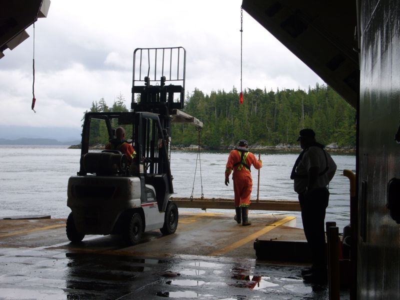
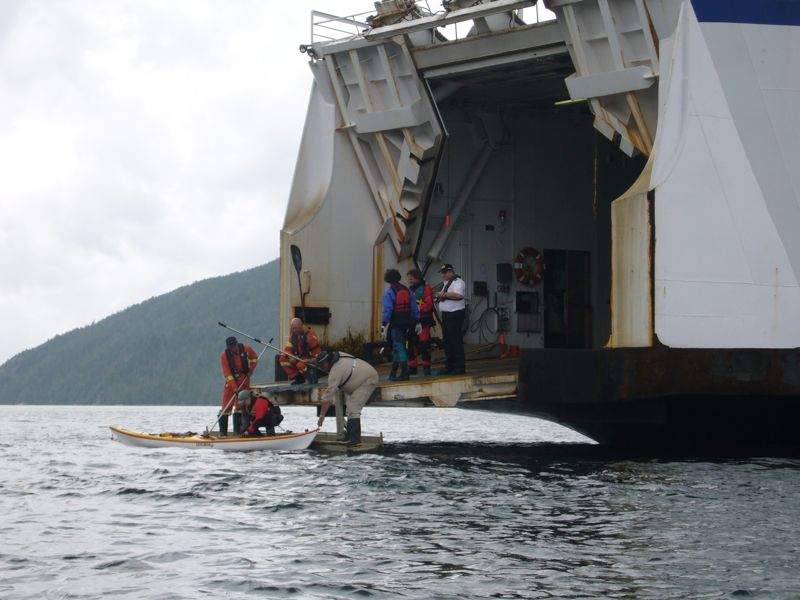
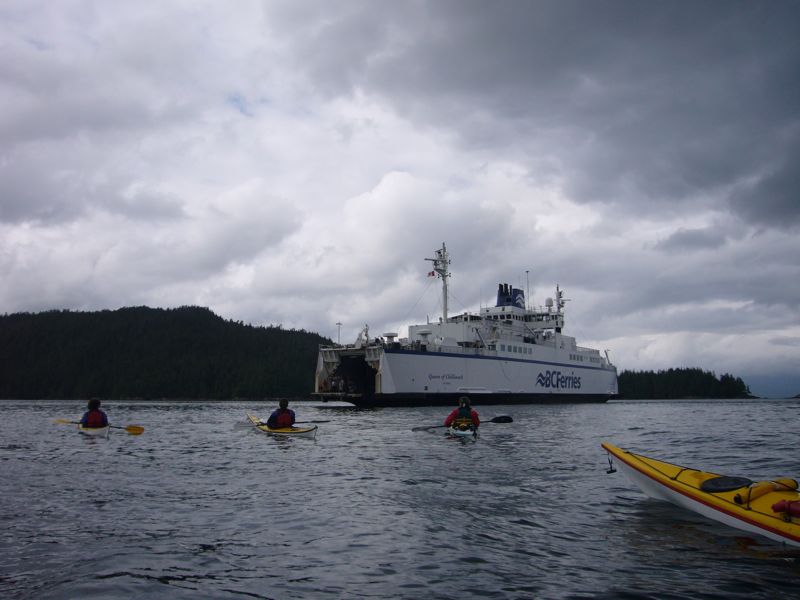
About an hour before arrival we go to the car deck to load our kayaks and suit up. The car deck is closed to the outside world, filled with engine noise and neon light. When the ramp is finally opened it is to a near shore and calm waters. A plank is slung from the ramp's end, hanging just at water level. Two large ferry workers lift my fully loaded kayak, slide it over the (padded) ramp edge and into the water. I step down to the plank, into the kayak, push off and the trip has begun. Marie follows then Utz and his boys. When the captain sees we are all clear the ferry closes up and departs. We say goodbye then Marie and I turn to cross Fitz Hugh sound.
|
|
|
|
|
|
|
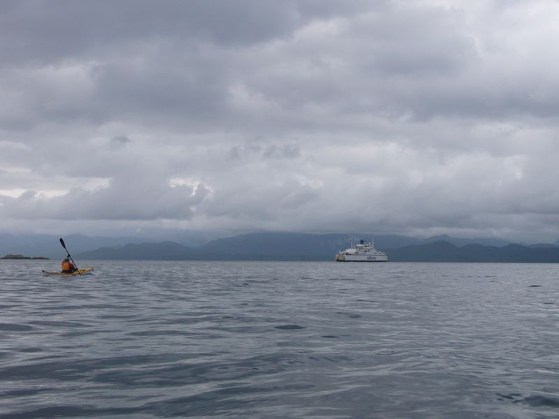
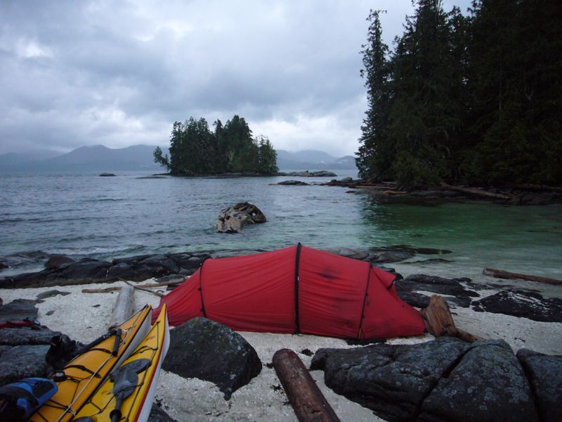
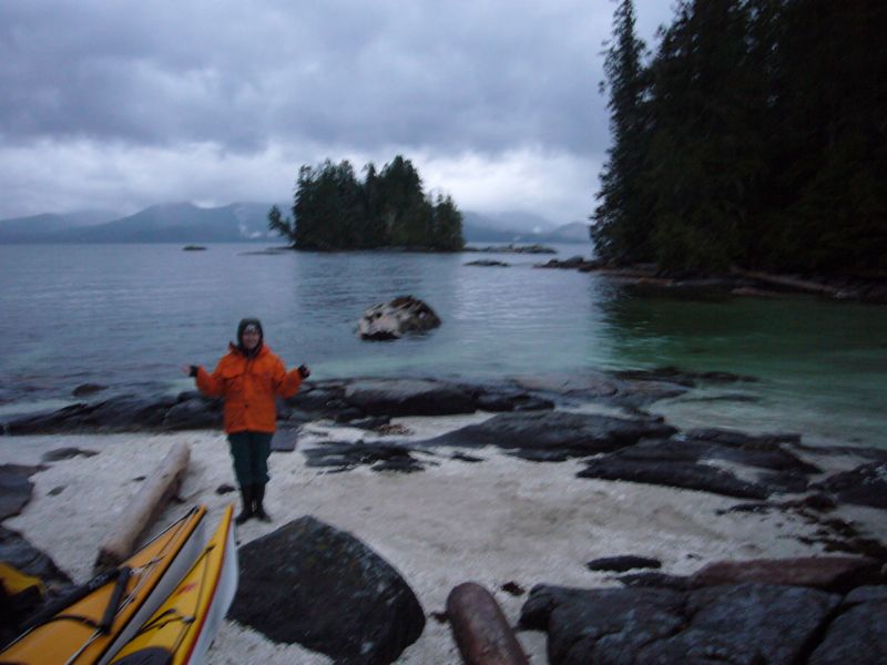
It is 3.5 miles across, actually one of the longer crossings we have done. There is a 15 knot wind from the south and 2 ft waves. We are kind of jumping into the deep end here. On the east side, south of KwakumePoint, we find the suggested camp, a clam shell beach between some islets near the east shore. It is a beautiful beach, but not quite as high as we hoped. It is near full moon and the tides are large. The largest tide always comes at night so we have to choose our site carefully to avoid being flooded out. With experience, by looking at debree lines left by previous high tides and at shore characteristics we can fairly precisely judge how high the nights tide will be. In 2006 we eked out some great camps on marginal beaches by careful observation. But we don't have recent experience. We set up on the highest part of the beach. We think it good but wish it was higher yet. |
Looking Across Fitz Hugh Sound. |
|
|
At 9pm we decide it is certain we will be flooded. We pack our comfortable tent back into dry bags and climbed onto a near by rock. The rock was hard so I lay on my thermarest. Then it was cold so I put one of our sleeping bags over me. Then it started to drizzle so Marie lay the emergency blanket on top and joined me under the sleeping bag. For some reason I was able to sleep through this. I woke occasionally to the rain poking at my eyes where they peeked out the top of the tarp. I adjust my position and hat for best coverage, moaned about how miserable this is, then fell back to sleep. The outer layers of my clothing are getting wet but inside I am warm and dry. Marie was not so fortunate - she does sleep so - her time on the rock was much longer.
At the height of the tide our site was covered by 6 inches of water with small logs washing over it. Some time after midnight our tent site is again dry. We sleep until 9am. Breakfast is cooked in the tent vestibule with a light rain outside.
I vow to Marie that on our second day we will regain control of this trip...