Day 9 - Nakwakto Rapids
We wake early and paddle up to Nakwakto Rapids. Some of the fastest currents, up to 15 knots, develop at this narrow passage through which huge inlets fill and drain with each tide. There are some logistics involved in getting there. Two channels approach the narrows. On the north of Bramham Island Slingsby channel carries most of the current. On the south the narrower Schooner channel runs slower and thus is more popular. We'll approach by Schooner channel but have to then cross Slingsby channel to the north side where there is an island we can observe from. And we need to do this with out being shot out Slingsby channel or, worse, sucked through the rapids. We need to arrive at slack, which is why we are up early.
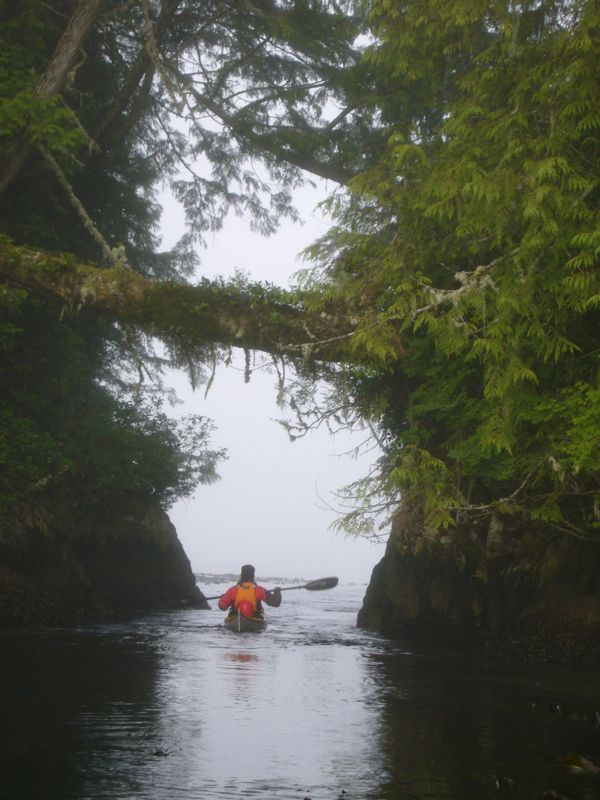
The fog is again thick. Thick enough that we can not see across Slingsby. Thanks to GPS navigation is flawless. There is an island on the north side of the rapids from which we'll observe. Between that island and the mainland there is a 5ft wide channel that forms a mini-rapid. When we arrive there is a 3 knot ebb current so I paddle through. Marie follows a minute later. A couple minutes later we go back and the current is noticeably stronger.
The guide book says to hike a trail across to a tree top viewing platform. I'm imagining a broad path, even a board walk, with stairs at steep sections. What we have is a rough and badly overgrown trail. In our dry suits and felt-soled neoprene booties we are mostly marine mammals. You have to imagine a seal bushwhacking to understand my disappointment with this trail.
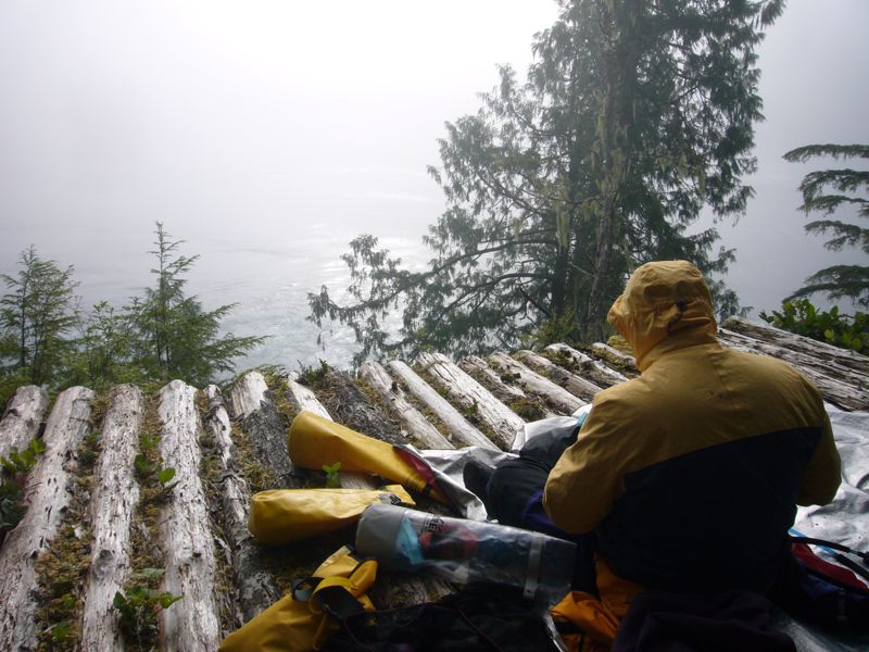
Arriving at the platform I realize two problems: the thick fog hides most of the rapids and there are lots of bugs. Arriving at slack we have to wait 3 hours for the maximum current. We settle in as best we can, but after an hour admit this experience is not all that great.
|
|
|
The bugs follow us back to our boats. While loading I am best by hundreds. Being Buddhist I don't kill bugs. This is not all that difficult - I'm not angry at the bugs. I'm completely protected by the dry suit except for my hands and head. But the sensation of them all around unpleasant. Nearly intolerable. I can't get launched and out of there fast enough.
The current is now flowing ebb and we have to cross it to get back to Schooner channel and our camp. I set a course and we paddle into it. It is a wild experience. As much as the current is moving laterally it is also moving up and down. Water wells up here and is sucked down in a whirlpool there. These arise and cease at random. My boat is being turned around by the local currents of uprising while all the time being carried laterally toward Slingsby channel. We make it into Schooner and have a nice current assist back to camp.
We've wanted a rest day. Do we take it now in this cabin or do we move on to our next camp? We are undecided but eventually choose to move on. We have a nice paddle through the Southgate group to a beautiful sandy beach just east of Westcott Pt. If we knew the camp would be this nice the decision would have been easy.
Day 10 - Rest Day
This is a complete rest day. I read, nap in the sun, and take a bath. I also replace the latex neck gasket of my dry suit - it tore when removing the suit.
In the evening we go to fetch water. Near by are two lagoons I hope that we'll find a fresh water stream flowing into these. Lower lagoon is easy to enter but there are no streams there. A narrower - stream like channel leads to the upper lagoon. Current is flooding, with us, easy now but we'll have to paddle against it to get back out. We both do the first half. The second half of the channel is flowing faster. We make clear meet up plans and I proceed alone. It's fun paddling - much like being on a river.
I've entered a completely different world back here. Water is completely calm - and warm. Stagnant, compared to the ocean.
And there is logging. Massive logging. I've suspected this. I think the logging is kept hidden from people on the water. Logging companies can remove all the trees from the interior and if no one sees the impact - well, less public relation difficulties.
I never find a flowing stream but at the far side a stagnant stream seems to be mainly fresh water so I fill with that and return to Marie.
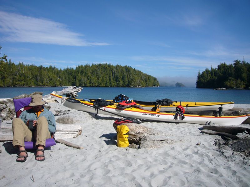
Rest day camp.
Day 11 - Crossing Queen Charlotte Strait
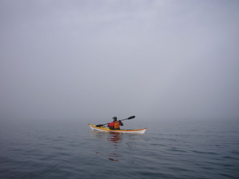
Fog again. This is why we bought the GPS. With out it we could be pinned here for days. Or, have to cross the straight in the windy afternoon. I just don't trust my compass navigation enough. This distrust is confirmed when the heading indicated by Marie's compass is consistently 10 degrees off of that indicated by the GPS. (And yes, both are magnetic headings.)
|
Because the fog is so thick we call the coastguard traffic service. In busy shipping channels large boats are required to report with the coast guard. This is very much like talking to air traffic control. No reporting traffic. I inform them of our intentions and we launch. Part way through sea lions begin visiting us. I find these a little scarier than whales. We can hear a colony of them on islands not too far away but hidden from view. We arrive on the Deserter islands and re-visit a previously used camp on Wishart island. Disappointed to see a huge new fish farm out here. The environment around these islands was very clean.
|
|
We spend the afternoon at the camp on Bell Island, sleeping for most of it.
Day 12 - Port Hardy
Again we are up early to catch the flood into Port Hardy. In the early morning we see a Minke whale near us. Lots of fishing boats. The paddle up Port Hardy Bay does not seem as un-ending as before.
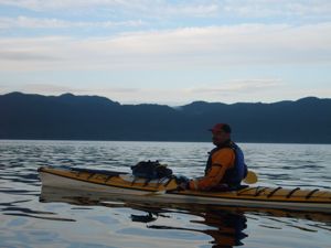
Me on the last morning of the trip.